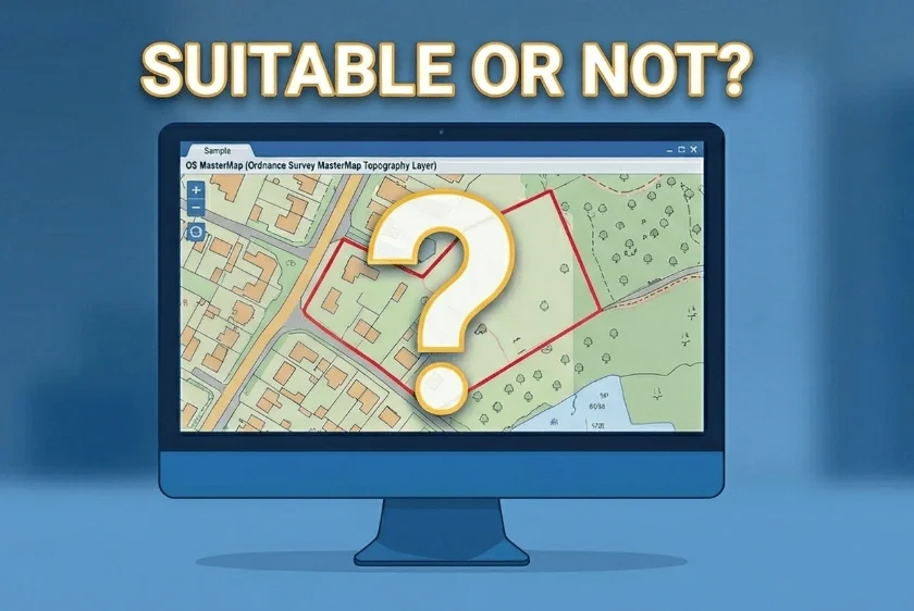
Free property boundary maps in the UK are useful for early research but are generally inaccurate, not to scale, and unsuitable for planning or legal purposes, meaning a compliant professional map is usually required.
14 Apr 2026

The Leasehold Reform Act 2024 has redrawn ownership lines & MapServe’s freehold boundary data helps developers & legal professionals navigate title complexity.
11 Jul 2025
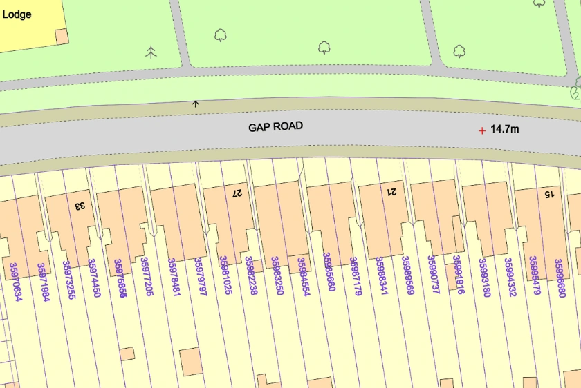
MapServe® freehold boundary maps help uncover ownership issues—like ransom strips, unclear access, and overlapping titles before submission, reducing the risk of costly planning refusals in 2025.
02 Jul 2025
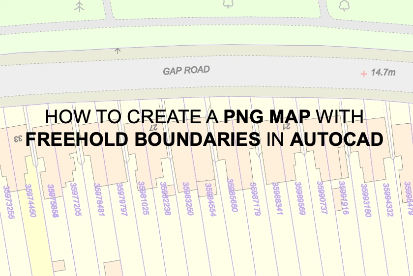
A step-by-step guide for using AutoCAD to build and export PNG maps with our freehold borders layer.
03 Apr 2024
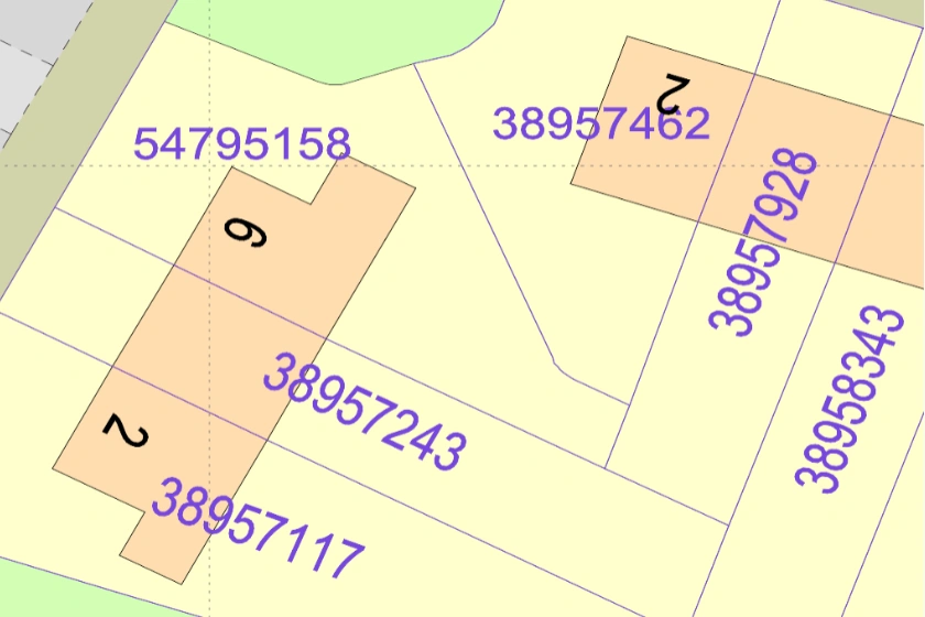
Freehold ownership boundaries in CAD format from the Land Registry.
30 Apr 2021