Free to view MasterMap®
Download in a few minutes
Save up to 40% vs. other suppliers


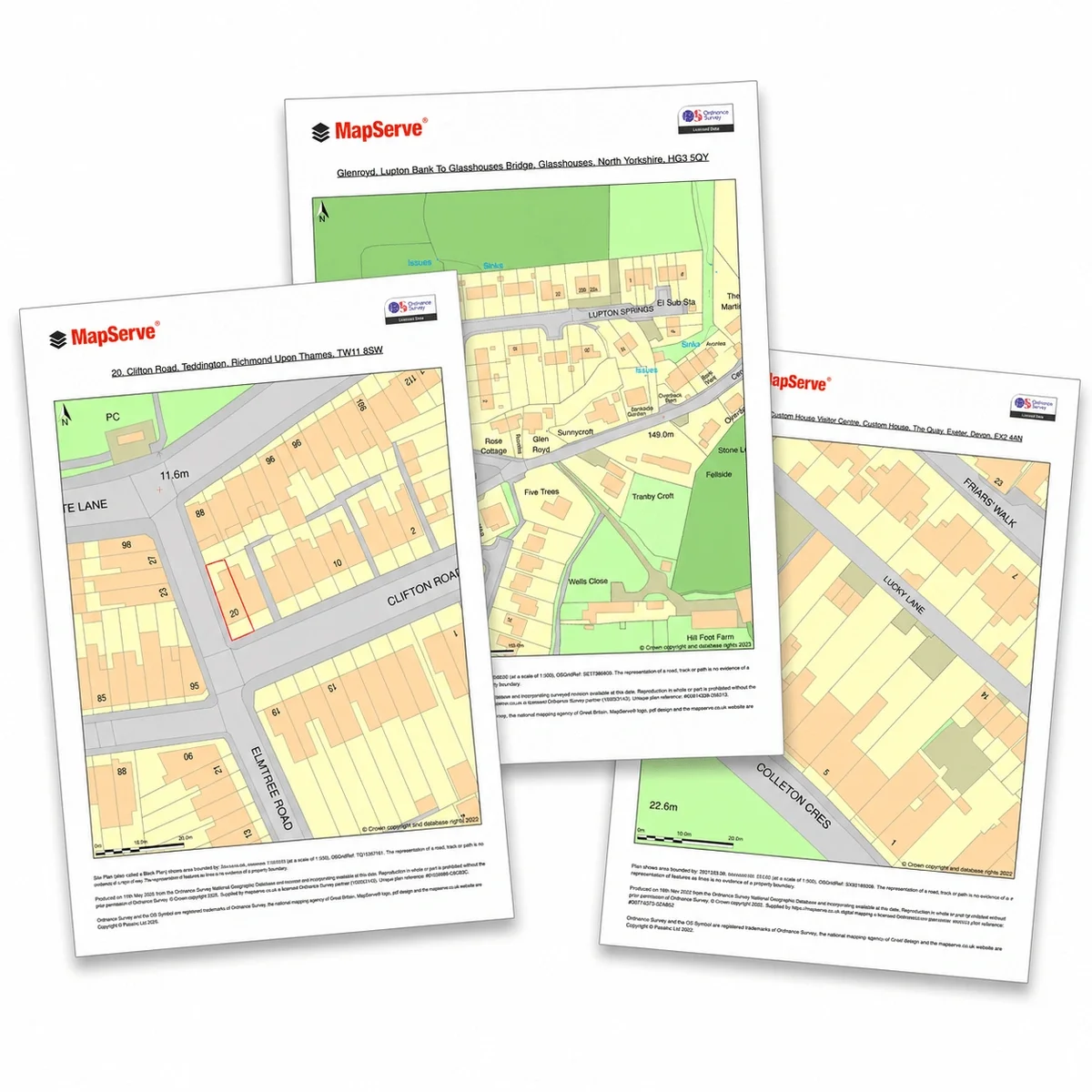
Planning Maps are professional mapping outputs used to support planning applications, site analysis, feasibility work and design preparation.
They are commonly based on OS MasterMap® because it provides detailed buildings, roads, paths, boundaries and land features.
MapServe's Planning Maps can be downloaded in professional formats and enhanced with additional data layers such as contours, freehold boundaries, building heights and tree data.

| Sector | Need | Why it's used | Typical format |
|---|---|---|---|
| Architecture | Planning drawings | Create accurate base plans and overlays | CAD, PDF |
| Planning | Application support | Show site context and constraints | CAD, PDF |
| Surveying | Property analysis | Review boundaries, land features and site layout | CAD, PDF |
| Development | Feasibility | Understand access, constraints and surrounding context | CAD, PDF |
| Environmental | Constraints review | Combine mapping with trees, contours and site data | CAD, PDF |
| Map product | Best used for | Key limitations |
|---|---|---|
| Planning Maps (derived from OS MasterMap®) | Planning applications, location plans and site context mapping | Does not include verified site data or specialist planning constraints |
| Measured topographic survey | Accurate site levels and physical features for design and construction | Requires on-site survey work and is typically more expensive |
| Title plans / Land Registry documents | Legal ownership and boundary definition | Not suitable for planning drawings or design workflows |
| Specialist reports (flood, arboricultural, ecology) | Assessing site constraints and development risks | Separate reports required and not included in mapping |
Planning Maps should not be used as a substitute for professional advice or verified site-specific information. While they provide a reliable base for planning submissions, they do not confirm detailed site conditions or regulatory requirements.
They should not replace measured topographic surveys where accurate levels and physical features are required, or formal title documents where legal ownership and boundaries must be established. Planning Maps also do not account for constraints such as flood risk, tree protection, ecology or other environmental factors that may affect development.
For planning decisions and due diligence, additional specialist reports including flood risk assessments, arboricultural surveys and professional planning advice may be required alongside mapping.
| Attribute | Description |
|---|---|
| Data source | Ordnance Survey OS MasterMap® (Topography Layer) |
| Formats supplied | PDF, PNG and CAD formats (DWG / DXF) |
| Coordinate system | British National Grid (OSGB36) |
| Typical scales | Location plans: 1:1250 or 1:2500 and Block plans: 1:200 or 1:500 |
| Price | From £13.12 |
| Optional layers in CAD format | 1m contours, freehold boundaries, building heights, National Tree Map™ & more |
| Delivery | Within seconds of ordering |
| Compliance | Prepared in line with UK planning authority requirements |
| Compatibility | Suitable for submission to local planning authorities and integration into design workflows |
| Best used for | Planning applications, feasibility and site analysis |
Planning Maps are used to support planning applications by showing the location of a site and its surrounding context. They are typically required as part of both householder and full planning submissions.
Yes. Planning Maps produced from OS MasterMap® data are widely accepted by UK local planning authorities when prepared at the correct scale and with appropriate boundaries shown.
This depends on the type of plan required. Location plans are usually supplied at 1:1250 or 1:2500, while block plans are typically provided at 1:200 or 1:500.
No. Planning Maps show site boundaries for application purposes only and do not define legal ownership. Title plans or Land Registry documents are required for legal boundary information.
Planning Maps can be used as a reference for early design, but for detailed design or construction work, CAD data or a measured survey is usually required.
Planning Maps are typically supplied as PDFs for submission. CAD formats (DWG or DXF) may be available where required for design workflows.
No. Planning Maps show base mapping only. Additional reports such as flood risk assessments or arboricultural surveys are required to assess site-specific constraints.
Most Planning Maps can be produced quickly once site details are confirmed, allowing you to proceed with your planning application without delay.


