Instant Download
Colour And Black & White Options
Save up to 40% vs. Other Suppliers
OS MasterMap® is Ordnance Survey’s most detailed large-scale geographic dataset, used by architects, surveyors and planners for planning applications, site analysis, and detailed design work.
Unlike general OS maps, OS MasterMap® provides precise, feature-level mapping of buildings, land parcels, roads, paths and boundaries, making it the industry standard base map for professional CAD and planning workflows.
MapServe supplies licensed OS MasterMap® data in CAD and digital formats, ready to use for commercial and professional projects across England, Scotland and Wales.

| Sector | Need | Why it's used | Typical format |
|---|---|---|---|
| Architecture | Accurate base mapping for design and planning drawings | Provides detailed building footprints and site context for concept design, planning submissions and CAD workflows | DWG, DXF (CAD-ready files) |
| Surveying | Reliable mapping to support measured surveys and land analysis | Aligns with survey data and helps interpret site features, boundaries and physical constraints | DWG, DXF, GML |
| Planning | Clear, compliant mapping for planning applications | Widely accepted by UK planning authorities for site plans, location plans and development context | PDF, CAD, scaled plans |
| Telecoms | Detailed mapping for network planning and infrastructure design | Identifies buildings, access routes and land features for site selection, routing and asset planning | DWG, DXF, CAD |
| Map product | Best used for | Key limitations |
|---|---|---|
| OS MasterMap® | Planning, CAD, surveying | Licensed, professional use only |
| OS Vector Map | Regional context | Not detailed enough for planning |
| OS Explorer / Landranger | Recreation | Not suitable for CAD or planning |
While OS MasterMap® is the most detailed Ordnance Survey dataset available, its level of precision and structure is not always necessary for every project.
| Attribute | Description |
|---|---|
| Coverage | GB |
| Formats | CAD (DWG & DXF), PDF, PNG, GML, GeoPackage |
| Options | Colour, black & white |
| Printable scales | 1:200 – 1:10,000 |
| Stated accuracy | Urban +/- 1m, rural +/- 2.5m, moorland / mountain +/- 8m |
| Layers (CAD only) | ‘Standard’ option – up to 20 key layers. ‘Pro’ option – up to 67 layers |
| Projection | OSGB36 geodetic datum using Transverse Mercator projection |
| Grid | British National Grid |
| Themes | Buildings, roads, paths, water & natural features |
| Optional layers (CAD only) | 1m contours, building heights, National Tree Map™, freehold boundaries, UPRNs & addresses, roof shape, aspect & type, field boundaries |
| Licence options | 12 months (other options available on request) |
| Updates | Every 6 weeks |
| Delivery | Within seconds of ordering |
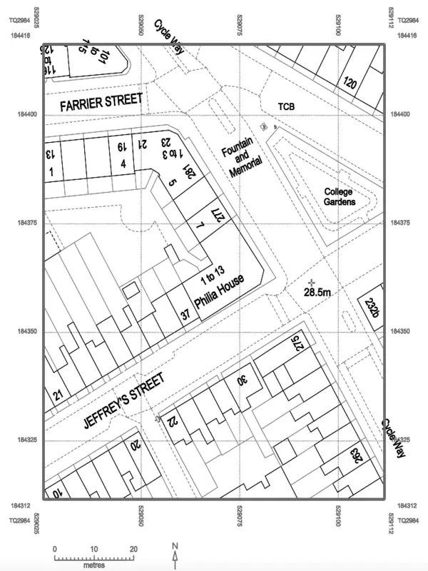
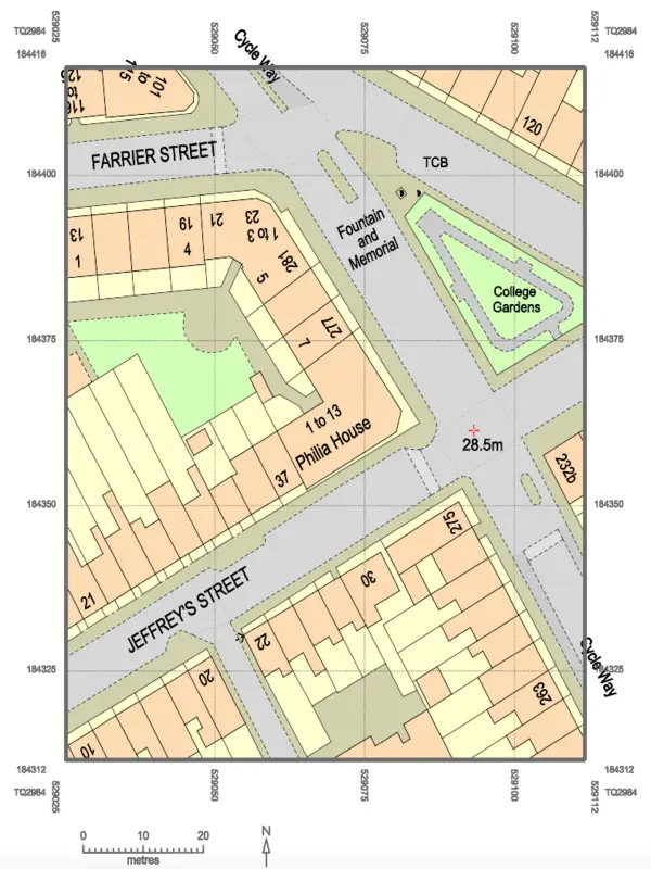
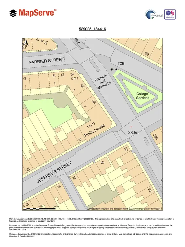
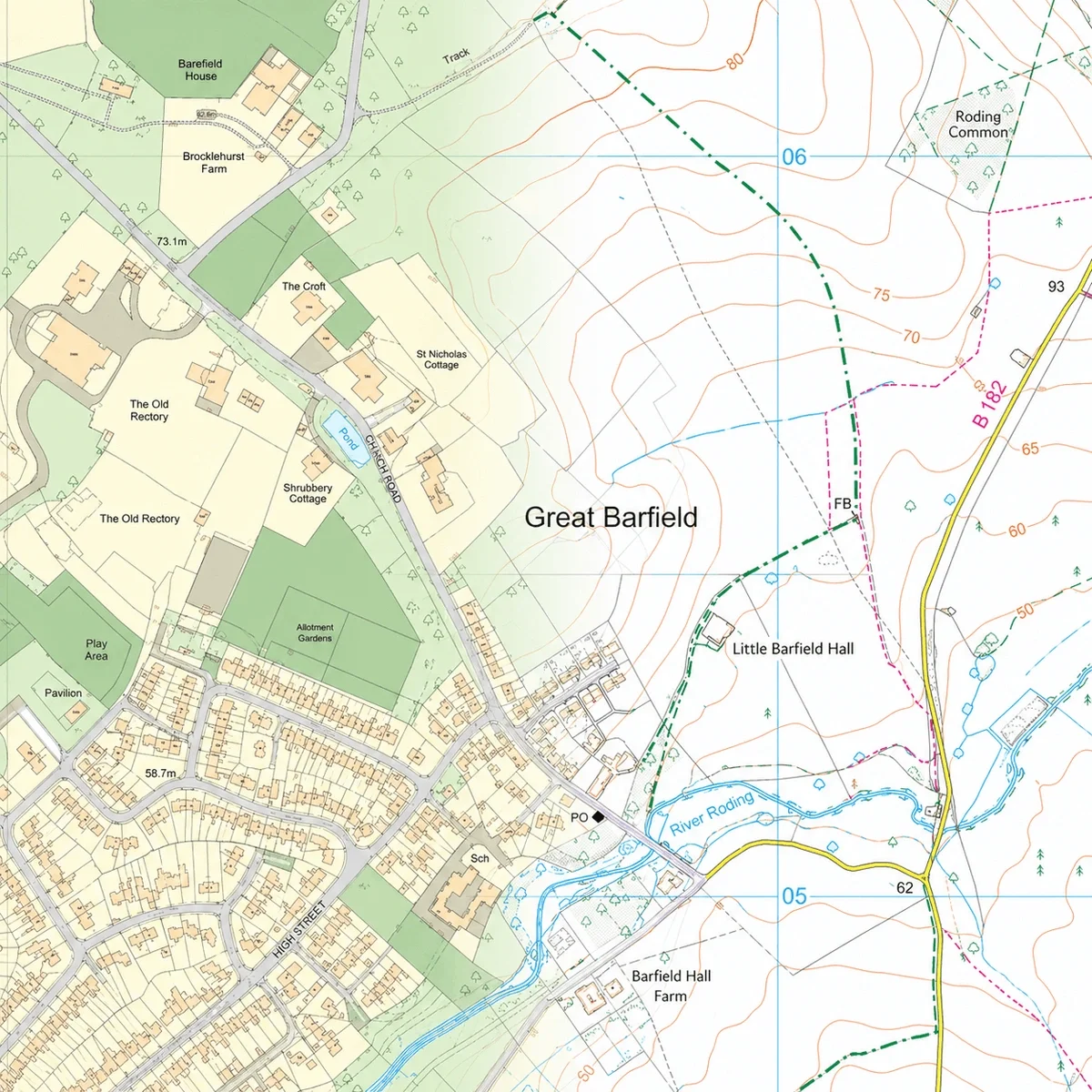
OS MasterMap® is the most detailed and accurate digital map of Great Britain, surveyed by the Ordnance Survey. It features every fixed feature of the land, manmade or physical, that is larger than a few metres.
Yes, we offer a free full screen preview before ordering. Other suppliers may charge for this.
We offer substantially discounted pricing and you can find OS MasterMap®’s price list here.
It is updated on our site once every 6 weeks.
Here is a comprehensive key for MasterMap®.
Here you can find OS MasterMap® accuracy information.
DWG and DXF formats require CAD software (such as Autodesk Viewer or AutoCAD). PDF requires Adobe Acrobat Reader, PNG format uses your computer’s built-in image viewer and GML files require GIS software or similar.
The optional extra layers we offer are 1m contours, building heights, freehold boundaries, the National Tree Map™ and UPRNs. These are only available in CAD format.
OS MasterMap® is not free as it is a premium and highly detailed mapping product provided by Ordnance Survey. Access to OS MasterMap® often involves licensing and associated costs, as it offers extensive and accurate geographic information used in various professional applications, such as urban planning and architecture.
OS MasterMap® is used by architects, surveyors and planners for planning applications, CAD base plans, site analysis and professional mapping where high positional accuracy is required.
Yes. OS MasterMap® is widely used and accepted for UK planning applications when supplied under the correct licence.


