Instant Download
Coloured Map in high resolution
Save up to 40% vs. Other Suppliers


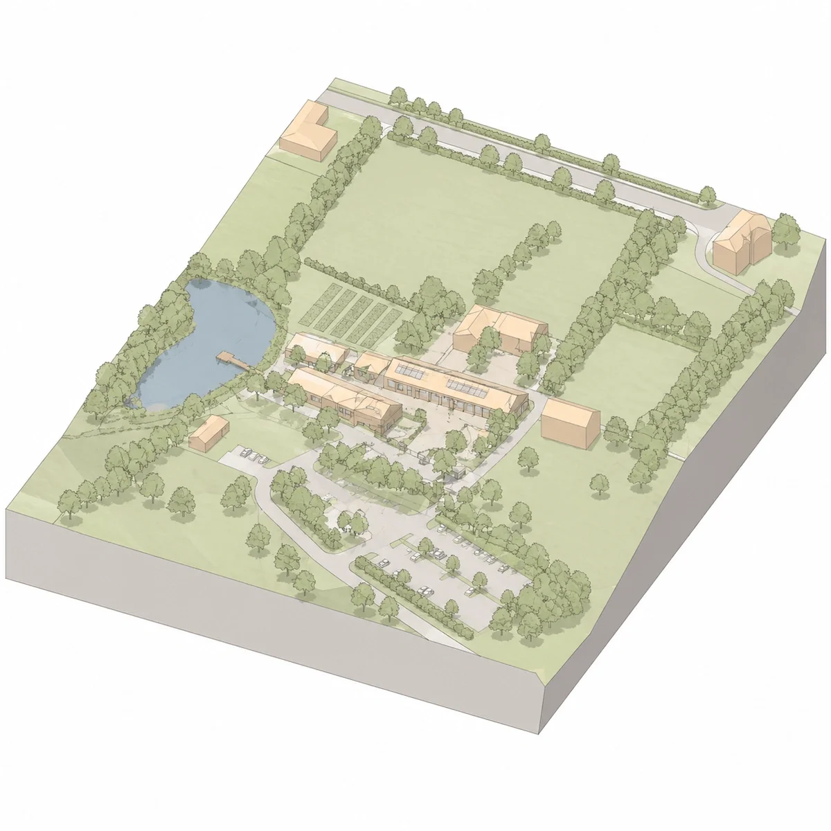
3D MasterMap® is a 3D CAD-ready mapping product that combines detailed OS MasterMap® site context with 3D building and terrain information.
It helps professionals understand the relationship between buildings, landform and surrounding context before detailed modelling work begins.
It is useful for architects, planners, surveyors, engineers and developers who need rapid 3D context for feasibility, massing and planning-related assessment.

| Sector | Need | Why it's used | Typical format |
|---|---|---|---|
| Architecture | Early massing | Understand surrounding building scale and site context | DWG, DXF |
| Planning | Visual impact context | Review building form, height and relationship to neighbours | DWG, DXF |
| Development | Feasibility | Assess site capacity and constraints before detailed design | DWG, DXF |
| Engineering | Terrain and access context | Review landform, access and built environment | DWG, DXF |
| Telecoms | Desktop assessment | Support early line-of-sight and rooftop context checks | DWG, DXF |
| Map product | Best used for | Key limitations |
|---|---|---|
| OS MasterMap® 3D | Detailed building height, massing and volumetric context for urban design, planning and visualisation | Does not replace a measured building survey or full BIM model |
| OS MasterMap® (2D) | Accurate planimetric base mapping for CAD and planning drawings | Does not include height or volumetric building data |
| LiDAR data | Terrain and surface height modelling across large areas | Less structured for buildings; requires processing and interpretation |
| BIM / Revit models | Detailed building design and construction modelling | Typically project-specific and not available for surrounding context |
| Aerial photography | Visual reference for site context and surroundings | Does not provide measurable height or structured 3D geometry |
3D OS MasterMap® should not be relied upon as a substitute for a measured building survey, detailed BIM model, verified shadow study or consultant-led visual impact assessment. While it provides a fast and effective 3D representation of buildings and terrain, it is a generalised dataset derived from mapping sources rather than site-specific measurements or design-grade modelling.
It is most appropriate for early-stage visualisation, site context and feasibility work, where speed and broad spatial understanding are more important than precision detail. For design validation, compliance, or formal planning submissions requiring accuracy and certification, more detailed and purpose-built data should be used.
| Attribute | Description |
|---|---|
| Coverage | GB |
| Formats | CAD (DWG & DXF) |
| Options | Colour |
| Base mapping | OS MasterMap® |
| Stated accuracy | Urban +/- 1m, rural +/- 2.5m, moorland / mountain +/- 8m |
| Projection | OSGB36 / British National Grid |
| Content | 3D buildings and terrain context |
| Licence options | 12 months (other options available on request) |
| Updates | Every 6 weeks |
| Delivery | Within seconds of ordering |
| Price | From £29.06 |
| Best used for | Massing, feasibility, planning context and 3D site analysis |
| Compatibility | AutoCAD |
3D MasterMap® can be used for various purposes including shadow analysis, feasibility and massing studies and traffic and vehicle access studies. Find more here.
Our 3D map is based on OS MasterMap® which is the most accurate and updated map of the UK.
3D MasterMap® is a CAD-ready 3D mapping product that combines OS MasterMap® context with 3D buildings and terrain information.
3D MasterMap® is available from MapServe from £29.06
3D MasterMap® is available in DWG and DXF formats
Yes. It is useful for early massing, feasibility and planning context, but it does not replace specialist planning or visual impact reports.


