
This guide explores common digital mapping issues in the UK construction industry and provides practical solutions to improve accuracy, security and efficiency.
19 Mar 2025
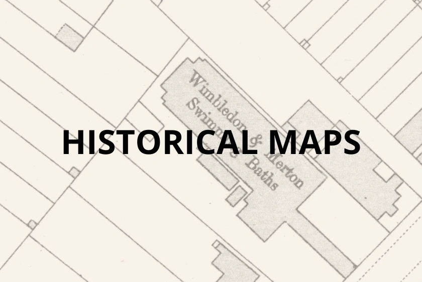
A practical guide for accessing our OS historic maps offering step-by-step instructions for creating an account and exploring detailed OS historical maps with ease.
03 Jul 2024
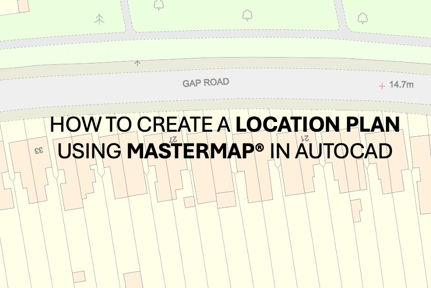
Detailed instructions on how to create and export a detailed map using OS MasterMap® in CAD format, suitable for a planning application location plan.
20 May 2024
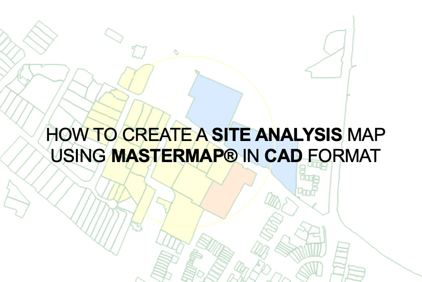
A step-by-step guide on how to produce a site analysis maps with MasterMap® in CAD format, suitable for Design & Access Statements, architectural graphics and more.
04 Apr 2024
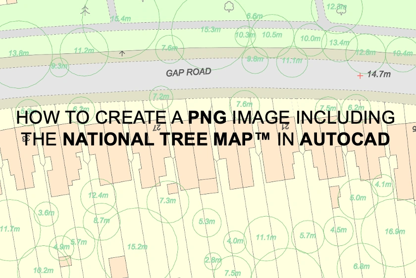
Learn how to use AutoCAD to create PNG images that include the National Tree Map™, ensuring detailed and accurate representations of vegetation in your maps.
03 Apr 2024
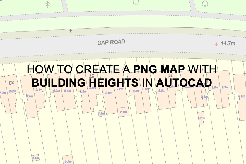
Step-by-step instructions for creating and exporting PNG maps in AutoCAD, incorporating our building heights layer for enhanced visualisation.
03 Apr 2024
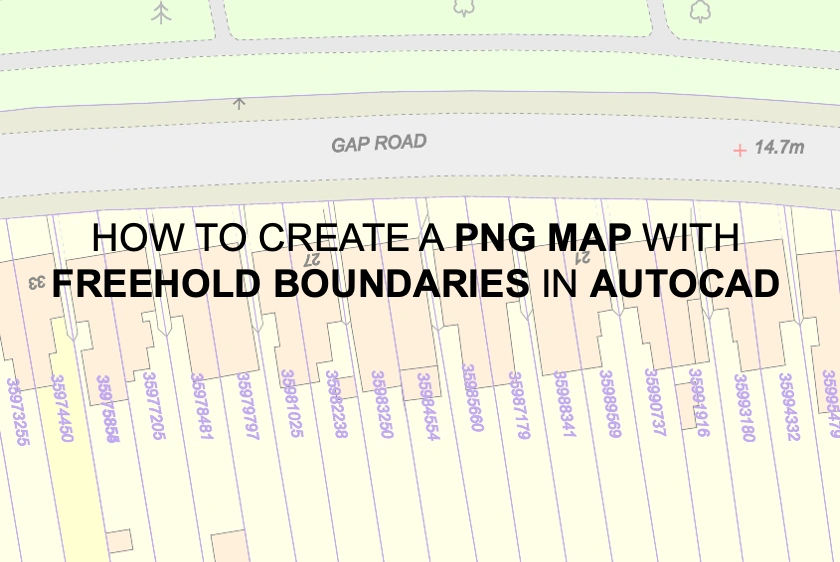
A step-by-step guide for using AutoCAD to build and export PNG maps with our freehold borders layer.
03 Apr 2024
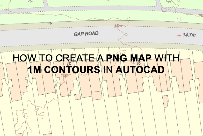
A tutorial for using AutoCAD to make PNG maps with detailed 1m contour lines to improve terrain understanding.
03 Apr 2024
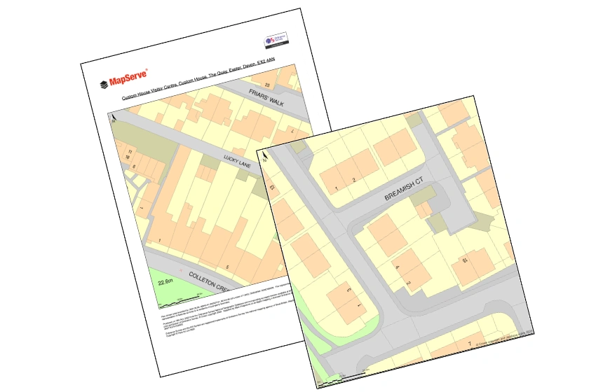
Learn how to effortlessly export your mapping projects into PDF and PNG formats within just 2 minutes. Streamline your workflow and save time with this easy-to-follow tutorial.
22 Mar 2024