


Free to view MasterMap®

Download in a few minutes

Save up to 40% vs. other suppliers
Detailed historic OS maps - explore buildings, roads, railways, boundaries, field patterns and historic land use over time.
Multiple historic map editions available - including 25 inch, 6 inch, County Series and National Grid historical mapping.
Historic maps for planning and heritage work - ideal for heritage statements, site history research and land analysis.
Compare old maps by scale and date - historical OS maps from the late 1800s through to modern historic editions.
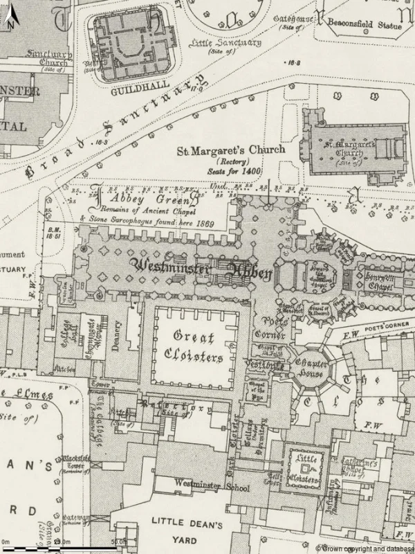
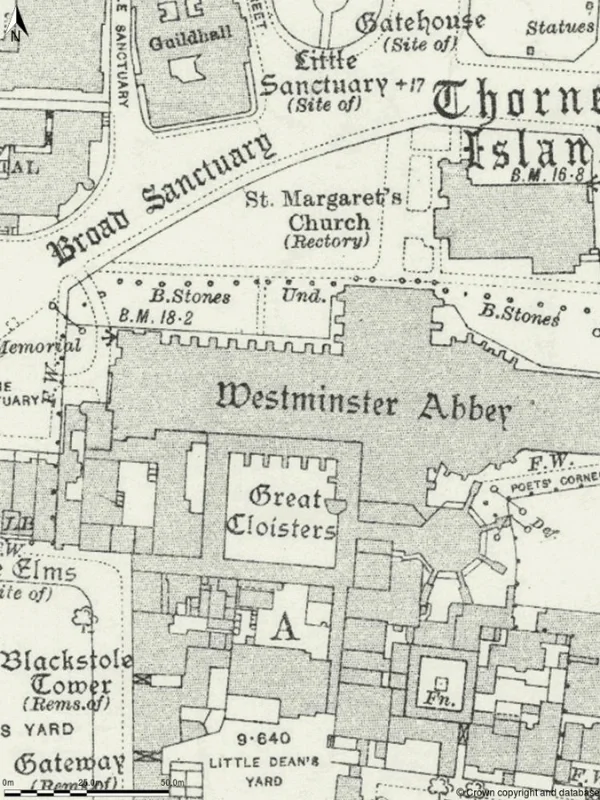
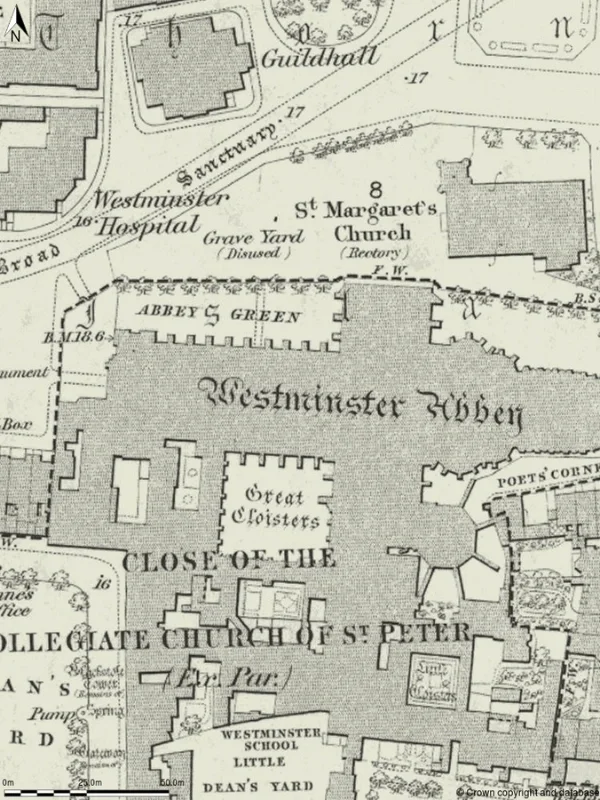
Detailed historic OS maps - explore buildings, roads, railways, boundaries, field patterns and historic land use over time.
Multiple historic map editions available - including 25 inch, 6 inch, County Series and National Grid historical mapping.
Historic maps for planning and heritage work - ideal for heritage statements, site history research and land analysis.
Compare old maps by scale and date - historical OS maps from the late 1800s through to modern historic editions.
Historic maps are older map editions that show how towns, cities, landscapes and individual sites have changed over time. Historic Ordnance Survey maps record buildings, roads, railways, boundaries, land use and physical features at different points in history, making them valuable for planning, heritage, land and environmental research.
MapServe provides access to detailed historical OS mapping across Great Britain, including County Series maps, National Grid editions, historic plans and large-scale historical mapping from the late 19th century onwards.
Historic maps are widely used to:

| Sector | Need | Why it's used | Typical format |
|---|---|---|---|
| Heritage & Conservation | Evidence historic development and landscape change | Helps identify former buildings, plot layouts, historic features and site evolution for heritage statements and conservation work | PNG |
| Planning | Historic context for planning applications and reports | Shows previous land use, demolished structures, historic access and surrounding development context | PNG |
| Environmental & Land | Investigate previous land uses and industrial activity | Identifies former railways, quarries, tanks, industrial sites and landscape change for environmental assessments | PNG |
| Architecture & Surveying | Understand historic site layout and development | Provides historic site context for design work, redevelopment and comparison against modern mapping | PNG |
| Archaeology | Research historic settlement and infrastructure patterns | Supports desk studies by revealing historic buildings, boundaries, roads and landscape features | PNG |
| Property & Boundary Research | Compare historic boundaries and access routes | Helps track long-standing boundaries, field divisions and property changes over time | PNG |
| Map product | Best used for | Key limitations |
|---|---|---|
| Historic OS Maps | Site history, heritage, planning and land use research | Older map editions may not reflect current site conditions |
| OS MasterMap® | Modern planning, CAD and surveying workflows | Does not show historic landscape or former site features |
| OS Vector Map | Wider regional and location context | Not detailed enough for historic site analysis |
| OS Explorer / Landranger | Recreation and navigation | Not suitable for planning, heritage or professional site research |
| Aerial Imagery | Recent visual site comparison | Does not provide the historic timeline available from old map editions |
While historic maps are valuable for understanding how sites and landscapes have changed over time, they are not always the right source for every mapping or research requirement.
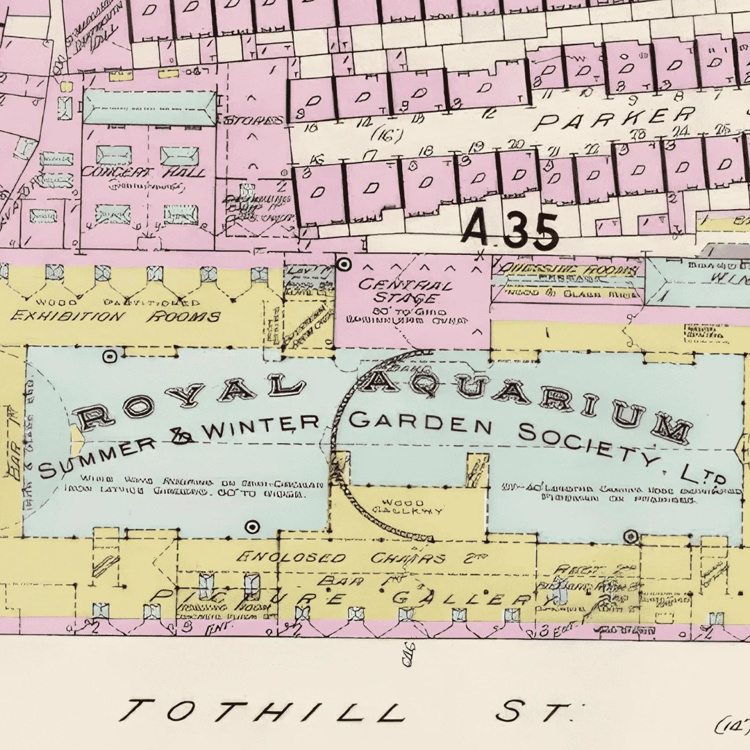
| Attribute | Description |
|---|---|
| Coverage | Great Britain |
| Historic map types | 25 Inch County Series, 6 Inch County Series, National Grid maps, London Town Plans, 1 Inch Seventh Series |
| Date ranges | Historic OS map editions from the late 1800s through to later National Grid mapping |
| Format | PNG |
| Mapping source | Historic Ordnance Survey archive mapping |
| Coordinate system | British National Grid |
| Typical applications | Planning, heritage statements, land research, environmental reports, archaeology |
| Comparison capability | Compare multiple historic map editions over time |
Historic maps are used for planning, heritage, environmental and land research to understand how sites and landscapes have changed over time.
Historic Ordnance Survey maps were produced using the survey standards of their time and remain highly valuable for historical comparison and site analysis.
Historic maps are often used as supporting evidence for planning, heritage and environmental reports, particularly when understanding previous site conditions.
Historic maps show how a location appeared at a specific point in time, while modern OS mapping reflects current surveyed conditions.
Yes. Historic maps are often used to identify demolished buildings, former structures, historical access routes and changes to land use over time. This can be useful for planning, development and environmental investigations.
Yes. Historic mapping is commonly used within environmental and contaminated land assessments to help identify previous industrial activity, former infrastructure and historical site conditions.
Yes. Historic maps are frequently compared with current Ordnance Survey datasets such as OS MasterMap® to analyse how a site or surrounding area has changed over time.


