


Free to view MasterMap®

Download in a few minutes

Save up to 40% vs. other suppliers
Environment Agency flood risk mapping - including Flood Zones 2 & 3.
Flood maps for planning and development - identify flood constraints affecting sites and proposed schemes.
Surface water and river flood risk data - understand potential flood exposure and surrounding flood context.
Suitable for planning applications and flood risk assessments - trusted mapping for environmental and site analysis workflows.
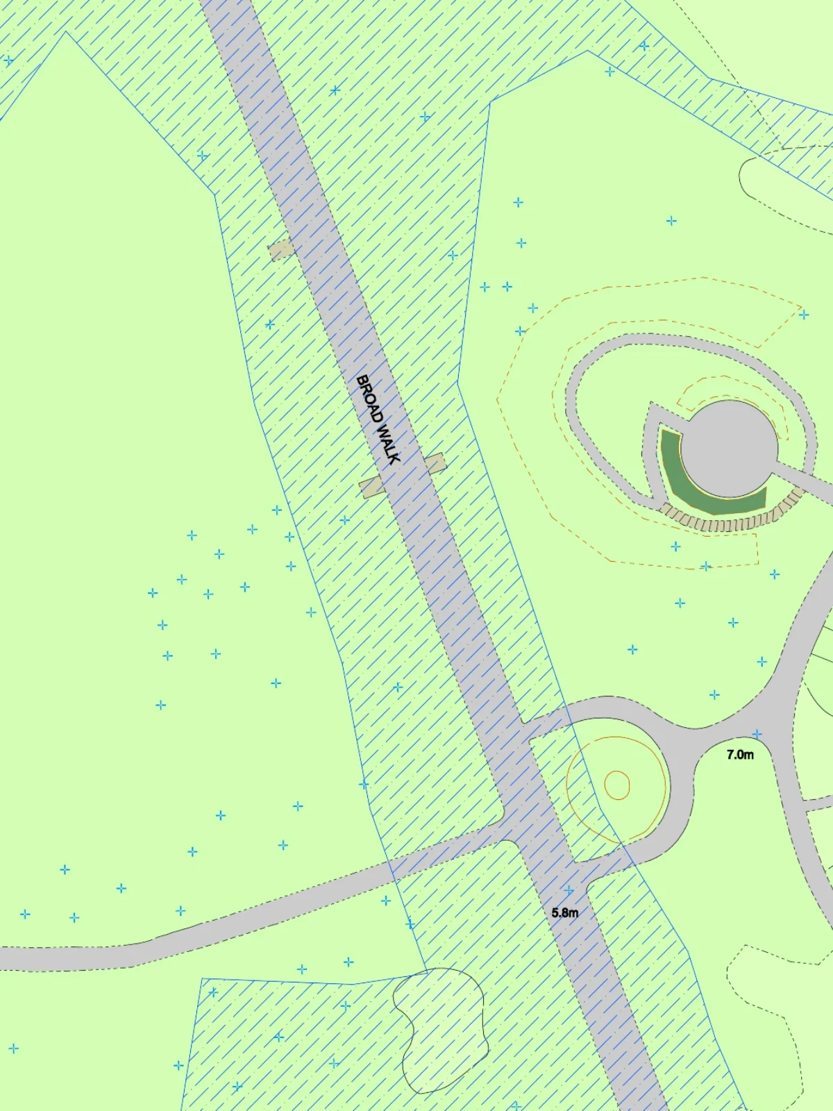
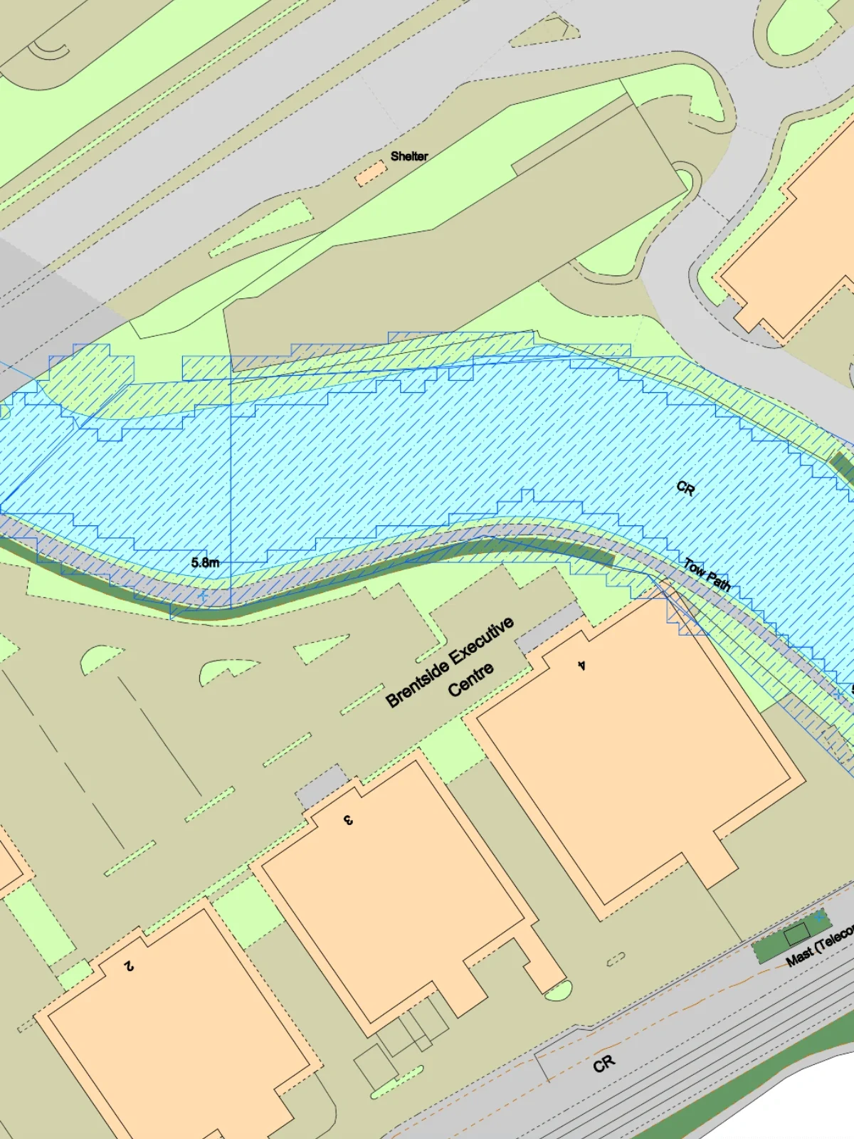
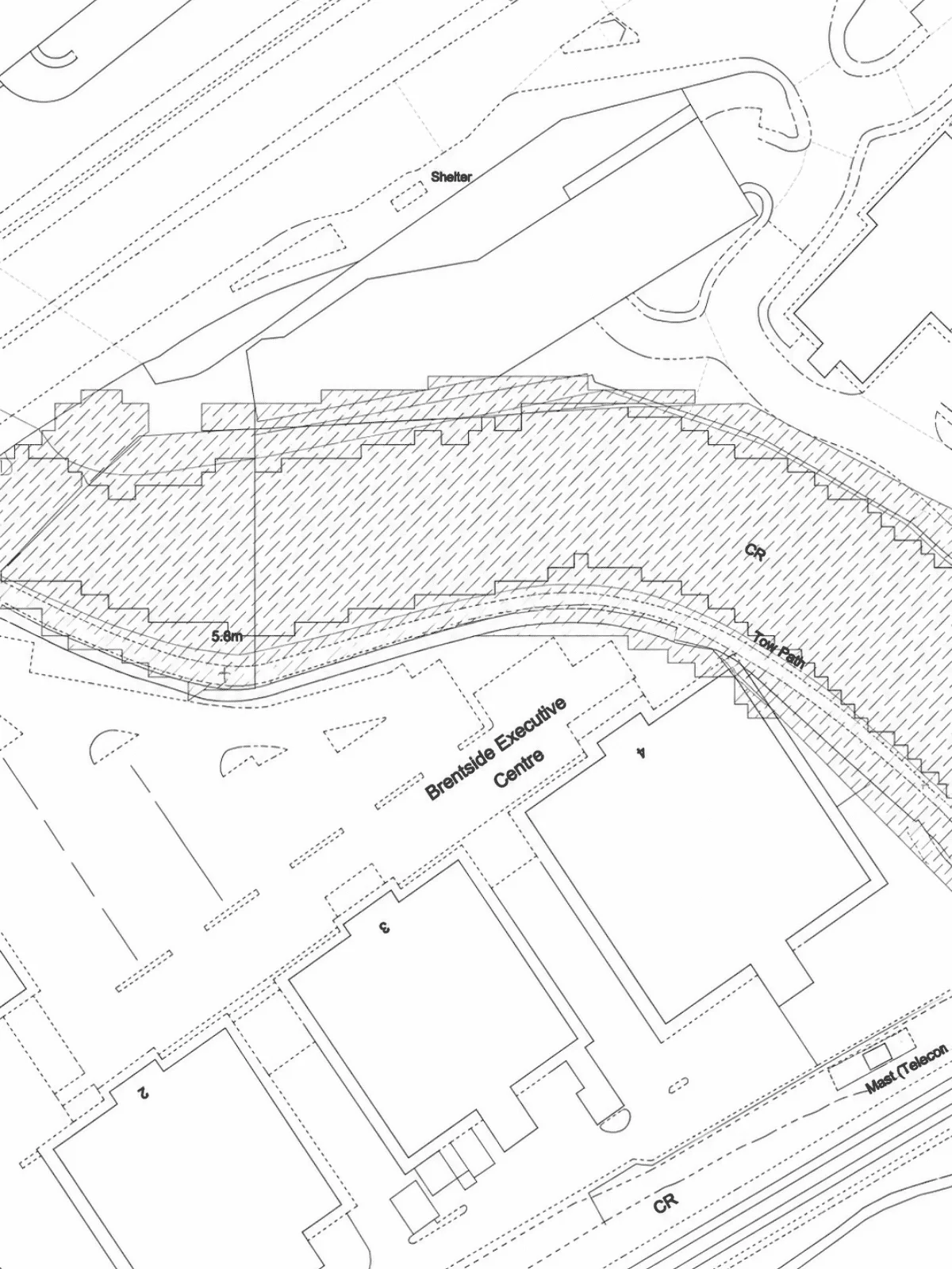
Environment Agency flood risk mapping - including Flood Zones 2 & 3.
Flood maps for planning and development - identify flood constraints affecting sites and proposed schemes.
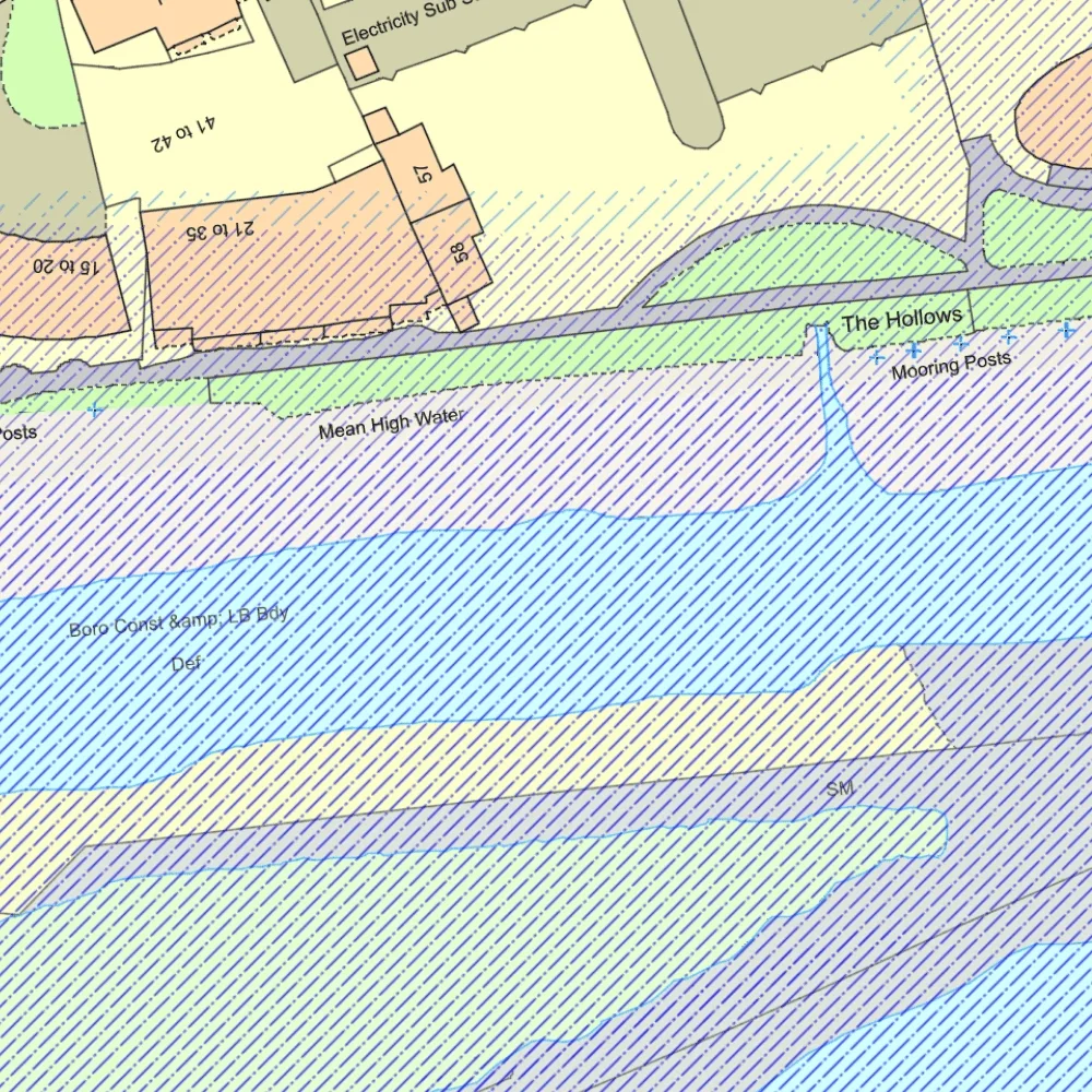
Surface water and river flood risk data - understand potential flood exposure and surrounding flood context.
Suitable for planning applications and flood risk assessments - trusted mapping for environmental and site analysis workflows.
Flood risk maps show areas that may be affected by river, coastal or surface water flooding. They are commonly used during planning, land acquisition and site assessment to identify flood constraints that could affect development, insurance, drainage design or environmental risk.
MapServe provides flood risk mapping using Environment Agency datasets including Flood Zone 2 and Flood Zone 3 across England.
Flood risk maps are widely used to:

| Sector | Need | Why it's used | Typical format |
|---|---|---|---|
| Planning | Identify flood constraints affecting development | Helps determine whether sites fall within Flood Zones 2 or 3 for planning submissions | CAD (DWG & DXF) |
| Architecture | Understand flood risk before design begins | Supports site appraisal, layout planning and drainage considerations | CAD (DWG & DXF) |
| Development & Land | Assess site suitability and risk exposure | Identifies flood-sensitive land before acquisition or development | CAD (DWG & DXF) |
| Environmental Consulting | Support flood risk and environmental assessments | Provides authoritative flood mapping for reports and due diligence | CAD (DWG & DXF) |
| Property & Conveyancing | Review flood exposure affecting property | Helps assess potential flood issues and surrounding flood context | CAD (DWG & DXF) |
| Infrastructure & Utilities | Understand flood impacts on assets and routes | Assists infrastructure planning and resilience analysis | CAD (DWG & DXF) |
| Map product | Best used for | Key limitations |
|---|---|---|
| Flood Zones 2 & 3 | River and coastal flood risk planning | Does not show all surface water flooding |
| Surface Water Flood Risk | Identifying rainfall and drainage flooding risk | Does not represent river flood extents |
| Combined flood risk mapping | Planning, site analysis and flood assessments | Should be used alongside site-specific assessment where required |
| Environment Agency flood maps | Professional flood risk and environmental workflows | Mapping does not guarantee future flood behaviour |
River and coastal flood risk planning
While flood risk maps provide important environmental and planning context, they should not be treated as a substitute for detailed site-specific flood assessment or engineering analysis.
| Attribute | Description |
|---|---|
| Coverage | England |
| Data sources | Environment Agency Flood Zones 2 & 3 |
| Formats | CAD (DWG & DXF) |
| Flood types | River flooding, coastal flooding, surface water flooding |
| Projection | British National Grid |
| Grid reference system | OSGB36 |
| Mapping extent | Site-specific and surrounding flood context |
| Data updates | Based on Environment Agency published datasets |
| Compatible workflows | Planning, environmental and land analysis |
| Output options | Site maps, flood overlays and layered environmental mapping |
| Licensing | Environment Agency data subject to applicable licensing and Crown copyright terms |
A flood risk map shows areas that may be affected by river, coastal or surface water flooding.
Flood Zone 2 shows land with a medium probability of flooding, while Flood Zone 3 shows land with a higher probability of flooding.
Surface water flood risk mapping identifies areas potentially affected by intense rainfall and drainage overflow where water cannot drain away quickly.
Yes. Flood risk maps are widely used to support planning applications, flood risk assessments and environmental reports.
Yes. The mapping uses Environment Agency flood datasets including Flood Zones 2 & 3.


