MasterMap®, contours, freehold boundaries, building heights in DWG, DXF, PDF & more
No charge just to view MasterMap®
Save up to 40% vs. your current supplier
4K+
users across the UK
Trusted by
How You’ll Benefit From MapServe®
Obtaining professional mapping shouldn’t be a complicated and expensive experience. MapServe® gives you a range of mapping options that you can easily download in a couple of minutes.
Free to view MasterMap®Free to view MasterMap®
Download in a few minutesDownload in a few minutes
CAD, GML, PDF & PNG formatsCAD, GML, PDF & PNG formats
Black & white and colour optionsBlack & white and colour options
Save up to 40% vs. other suppliersSave up to 40% vs. other suppliers
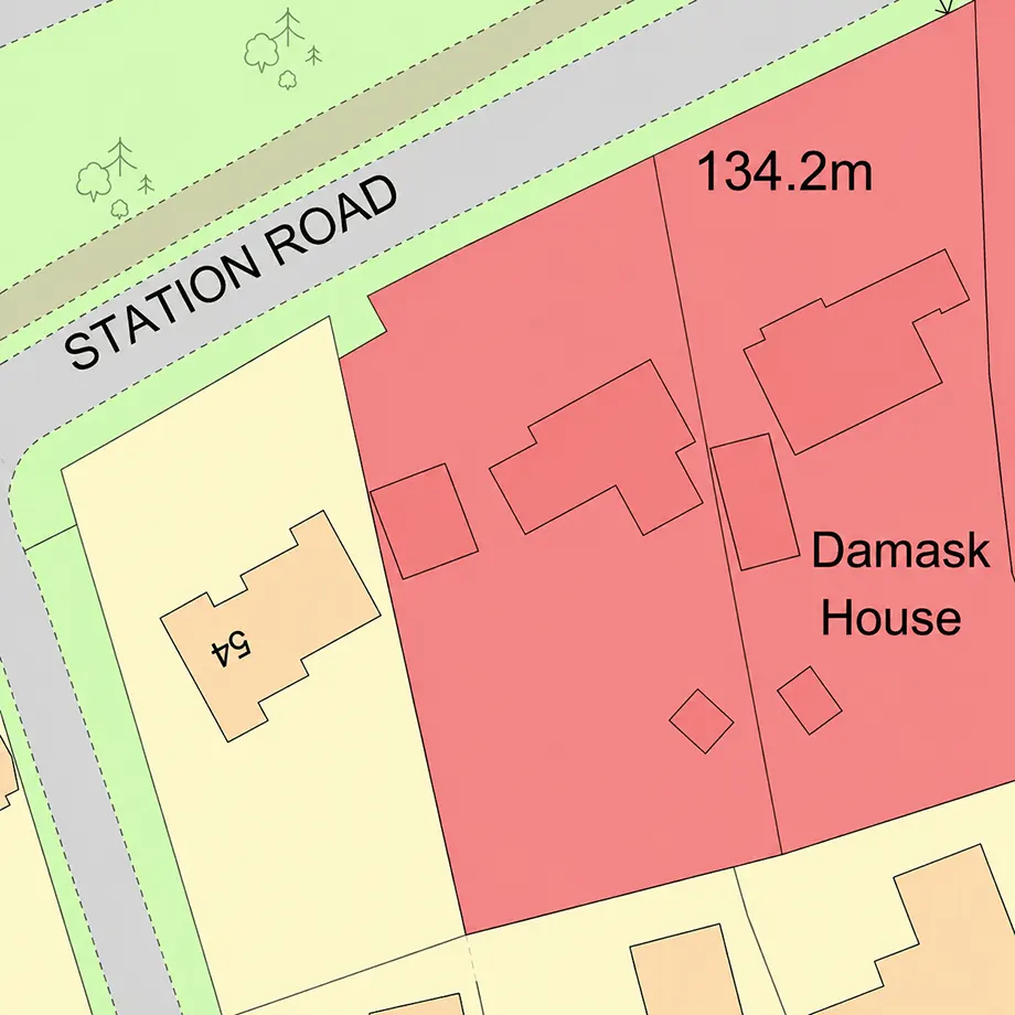
Our version of the Ordnance Survey’s flagship large scale professional map of all built and natural features in Great Britain, with more than 500 million real world objects featuring:
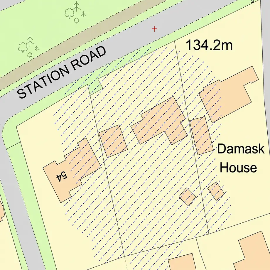
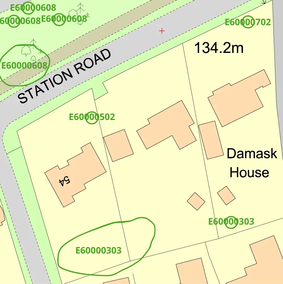
Up to 67 layers of geographical information giving you styling control to a granular level
Obvious & intuitive layer names plus the ability to select layer groups e.g. all water features, means faster working
Updated every 6 weeks
Colour or black & white options
Available in PDF or PNG, for CAD (e.g. DWG / DXF) and GIS format (GML)
The National Tree Map™ is the most detailed dataset of location, height and canopy/crown extents for every single tree 3m and above in height, across England, Scotland and Wales.
Offered as 8 extra layers within MasterMap® so you can see the trees overlaid on the map
Includes the tree area, centroid, circumference, height (maximum / mean / standard deviation), perimeter, a simplified tree outline and the actual outline of the tree as an irregular polygon
Updated on a 3 year rolling basis
Available in CAD formats (DWG and DXF) and GIS format (GML)
A range of old mapping, some only recently available in digital format and some offering incredible levels of detail such as the building usage and business name at the time.
Dating from the 1870s to the 1970s
Scale from 1:480
Available in colour
Comes with a ‘world’ file to allow geolocation of the map within CAD or GIS software
Date key for accurate dating of the mapping
Available in high quality raster JPG format
See How We Can Help You...
Whatever you do it’s likely we’ve got options to make your work easier and quicker.