Instant Download
Colour And Black & White Options
Save up to 40% vs. Other Suppliers


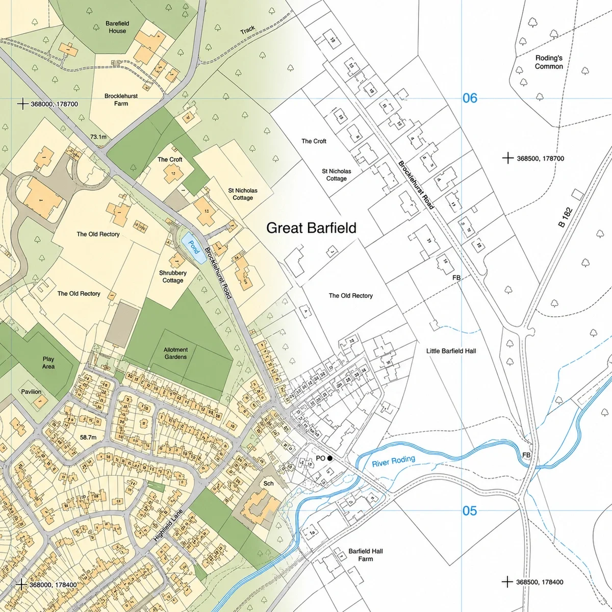
Ordnance Survey maps provide detailed, accurate mapping of buildings, roads, land features and infrastructure across Great Britain. They are widely used by architects, planners, surveyors and developers to understand site context and support professional projects.
Ordnance Survey mapping is produced at different scales and levels of detail, depending on the requirements of the project. Larger-scale mapping shows detailed site features, while smaller-scale mapping provides a broader overview of the surrounding area.
MapServe supplies Ordnance Survey maps derived from official OS datasets, providing reliable, professionally formatted mapping for use in planning, design and analysis workflows.

| Sector | Need | Why it's used | Typical format |
|---|---|---|---|
| Architecture | Site context | Understand existing buildings, access and surroundings for design work | DWG, DXF, PDF |
| Planning | Application support | Provide accurate mapping for planning submissions and reports | PDF, PNG |
| Surveying | Base mapping | Use as a reference layer alongside measured survey data | DWG, DXF |
| Development | Site analysis | Assess land use, access and surrounding features for feasibility | CAD, PDF |
| Infrastructure | Project planning | Support analysis of transport routes and site constraints | CAD, PDF |
| Map product | Best used for | Key limitations |
|---|---|---|
| Ordnance Survey maps | Accurate, detailed mapping for planning, design and professional use | Licensed data; not free and not intended for casual viewing |
| Google Maps | Quick location search, navigation and general reference | Not suitable for planning, CAD or scaled drawings; lacks precise mapping detail |
| OpenStreetMap | General-purpose mapping and open data applications | Varies in accuracy and detail; not standard for professional or planning use |
| Aerial imagery (Google / Bing) | Visual site context and surroundings | Does not provide structured mapping, scale accuracy or feature classification |
| Measured topographic survey | Verified site levels and physical features for construction | Requires on-site survey work and is typically more expensive |
Ordnance Survey maps provide accurate base mapping, but they should not be used where verified, site-specific detail is required.
They do not replace measured topographic surveys where exact levels, positions or physical features must be confirmed. They also do not define legal ownership or boundaries and should not be used in place of title plans or Land Registry documents.
For construction, legal matters or detailed site analysis, additional surveys and specialist data may be required
| Attribute | Description |
|---|---|
| Coverage | GB |
| Formats | CAD (DWG & DXF), GML, PDF, PNG |
| Options | Colour, black & white |
| Scale options | Multiple scales depending on project requirements |
| Stated accuracy | Urban +/- 1m, rural +/- 2.5m, moorland / mountain +/- 8m |
| Compatibility | Suitable for planning, design and analysis workflows |
| Projection | OSGB36 geodetic datum using Transverse Mercator projection |
| Grid | British National Grid |
| Themes | Buildings, roads, paths, water & natural features |
| Optional layers (CAD only) | 1m contours, building heights, National Tree Map™, freehold boundaries, field boundaries and more |
| Licence options | 12 months (other options available on request) |
| Features included | Buildings, roads, land features and infrastructure |
| Delivery | Within seconds of ordering |
Ordnance Survey maps are used for planning, design, site analysis and professional mapping across a wide range of projects.
You can download OS Maps including OS MasterMap® after signing up for a free account on our website. You can use this link to register to download OS Maps.
Yes. Ordnance Survey mapping is highly accurate and widely used as the standard base mapping for professional work in Great Britain.
Yes. They can be supplied in CAD formats such as DWG and DXF for use in design workflows.
Ordnance Survey maps are available at a range of scales, depending on the level of detail required.
No. They show mapped features but do not define legal ownership or boundaries.
Yes, we are a licensed OS partner. Our license number is 100053143.
The Ordnance Survey (OS) is the United Kingdom's mapping agency.
OS MasterMap® is the most detailed professional mapping in the UK. It contains all manmade and natural features of the country in a single continuous map and a database of over 500 million objects. You can read more about it here: OS MasterMap®.
You can get historical overviews of your site by browsing our range of old OS maps starting from the 19th century. Read more about our historical maps.
OS MasterMap® is updated every 6 weeks. You can find out the exact dates for when MasterMap® is updatedhere.
MapServe® is an official Ordnance Survey map supplier and can provide you with OS maps of your property in various formats, including PDF and CAD. You can get your Ordnance Survey map here.
We offer multiple OS maps including the latest update of OS MasterMap®, OS Overview Map, OS Road Map as well as OS MasterMap® in 3D format. You can find all available OS map types here.


