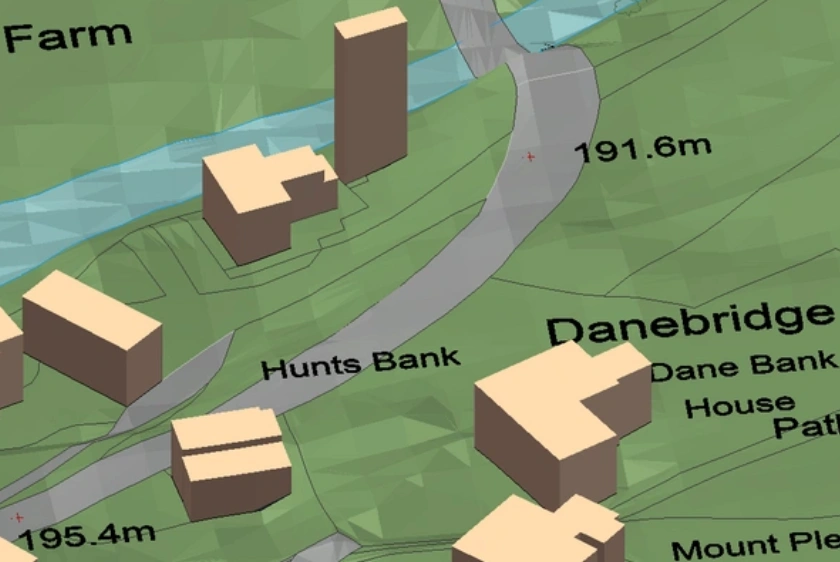
3D maps show realistic representations of the earth and can be used by architects to design a project and reduce the chance of costly mistakes.
23 Feb 2023
A list of the major OS MasterMap®'s key layers, each of which provides unique data about the topography of Great Britain.
13 Feb 2023

How an architect saved over £250 of additional mapping fees and time on his latest project using MapServe®'s 3D MasterMap®.
13 Feb 2023

How an architect saved over £1500 and 3 weeks on a project using our 3D MasterMap®.
18 Jan 2023

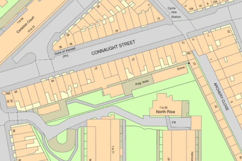
OS MasterMap® is the most up-to-date and detailed map of the United Kingdom supplied by the OS.
30 Aug 2022

OS MasterMap® Topography layer is typically updated every 2 weeks moving to daily updates.
30 Aug 2022

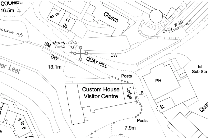
OS MasterMap® can be used for a variety of professional purposes, including risk assessment and geographical analysis.
30 Aug 2022
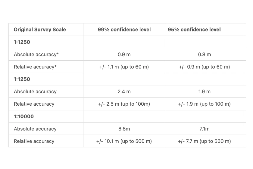
Read all about OS MasterMap®'s accuracy, continuous surveying and features.
13 Jan 2022
Find out why OS MasterMap® is the most important product of the Ordnance Survey and download it now for your future and current projects.
13 Jan 2022