Free to view MasterMap®
Download in a few minutes
Save up to 40% vs. other suppliers


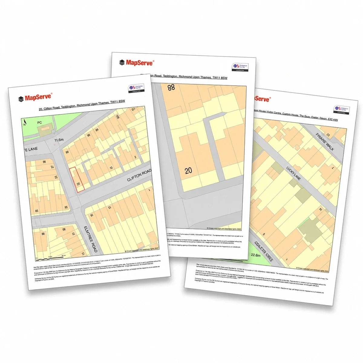
Site Plans show the layout of a specific site, including buildings, access, boundaries and surrounding features. They are commonly used for planning applications, design work and site analysis.
Unlike location plans, Site Plans provide a more detailed view of how a site is arranged, helping architects, planners and developers understand access, neighbouring properties and spatial relationships.
MapServe supplies Site Plans derived from OS MasterMap®, providing accurate, professionally formatted mapping for use in planning and design workflows.

| Sector | Need | Why it's used | Typical format |
|---|---|---|---|
| Architecture | Existing site context | Prepare design overlays and planning drawings | PDF, PNG, CAD |
| Planning | Application support | Show the site and surrounding features clearly | PDF, PNG, CAD |
| Surveying | Site reference | Compare mapping with measured survey work | PDF, PNG, CAD |
| Development | Feasibility | Review site layout, access and constraints | PDF, PNG, CAD |
| Housebuilding | Planning drawings | Support block plans and existing site plans | PDF, PNG, CAD |
| Map product | Best used for | Key limitations |
|---|---|---|
| Site Plans (OS MasterMap® based) | Site layout, planning submissions and design context | Does not include verified site measurements or construction-level detail |
| Measured topographic survey | Accurate site levels and physical features | Requires on-site survey work and is typically more expensive |
| CAD Plans | Editable base mapping for design workflows | May require additional formatting for planning submission |
| Title plans / Land Registry documents | Legal ownership and boundary definition | Not suitable for design or planning layout drawings |
Site Plans are derived from OS MasterMap® data and provide a reliable base for planning and design, but they should not be used where precise, site-specific accuracy is required.
They do not replace measured topographic surveys where exact levels, drainage features, tree positions or physical details must be verified. Site Plans also do not define legal ownership or boundaries and should not be used in place of title plans or Land Registry documents.
For construction, setting out or legal matters, additional surveys and documentation will be required.
| Attribute | Description |
|---|---|
| Formats | DWG, DXF, PDF, PNG where available |
| Base mapping | OS MasterMap® |
| Coordinate system | British National Grid (OSGB36) |
| Typical scales | 1:200 or 1:500 |
| Coverage | Site-specific with surrounding context |
| Features included | Buildings, access routes, boundaries and physical features |
| Typical uses | Planning drawings, site analysis, feasibility and design context |
| Delivery | Within seconds of ordering |
A site plan shows a site and its immediate surroundings in detail, usually to support planning, design or site analysis.
No. A location plan shows where a site is in relation to its wider surroundings. A site plan usually shows the site itself in more detail.
Yes, but always check the local planning authority’s validation requirements.
Site Plans are typically supplied at 1:200 or 1:500, depending on the level of detail required.
Yes. Site Plans (often called block plans) are commonly required to show the layout of a development site and its surroundings.
Yes. MapServe's Site Plans are derived from OS MasterMap®, ensuring accurate and reliable mapping.
No. Site Plans show application boundaries only and do not define legal ownership.
Site Plans can usually be produced quickly once site details are confirmed.
Site Plans are used to show the layout of a site for planning applications, design work and site analysis.


