

The National Land Data Programme is digitising planning policy—MapServe® helps professionals visualise constraints, overlays, and boundaries at scale.
20 Aug 2025
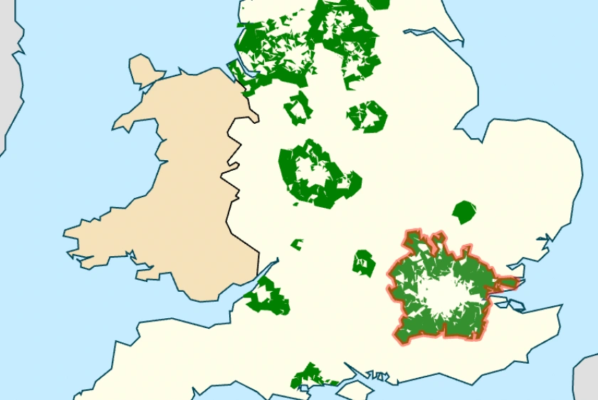
This article examines Metropolitan Green Belt reform, Grey Belt classification, housing delivery data and the role of mapping tools in planning.
23 May 2025
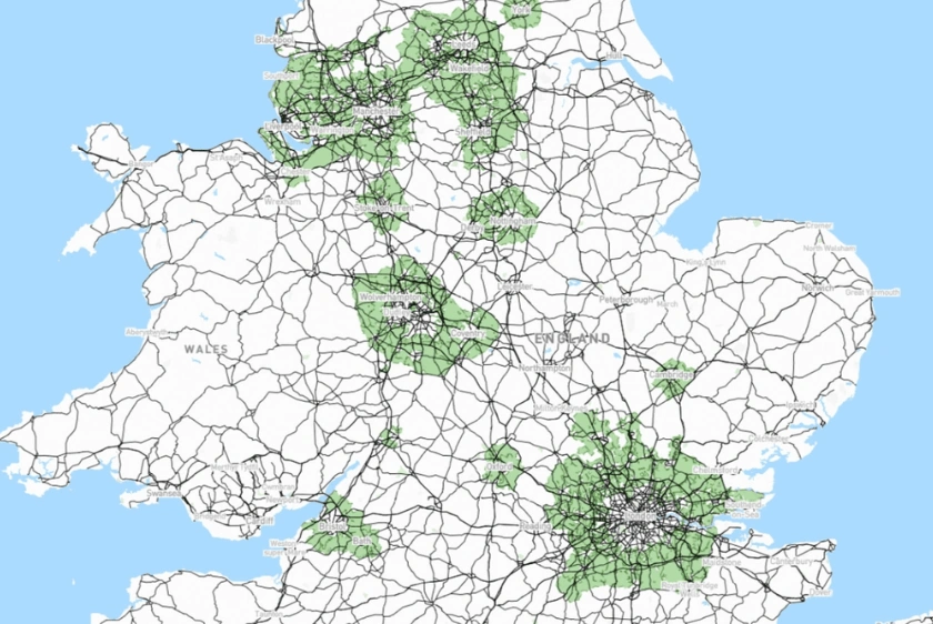
Green Belt misconceptions, the potential of Grey Belt redevelopment & their roles in UK housing solutions.
16 Oct 2024

Labour introduces bold planning reforms, aiming to build 1.5 million homes and address the UK’s housing crisis through streamlined processes and new policies.
11 Oct 2024