
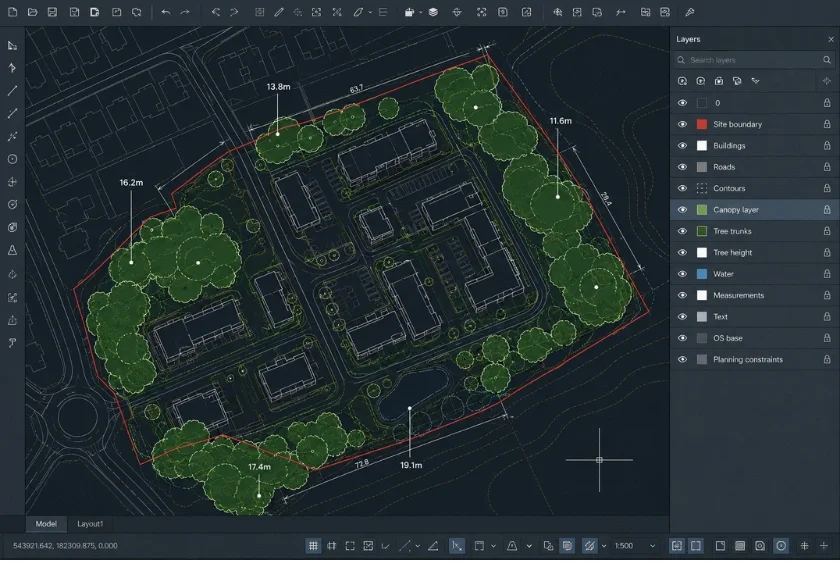
A CAD-focused guide showing architects and surveyors how tree canopy data in DWG or DXF can improve site analysis, feasibility checks and planning workflows.
18 Jun 2026
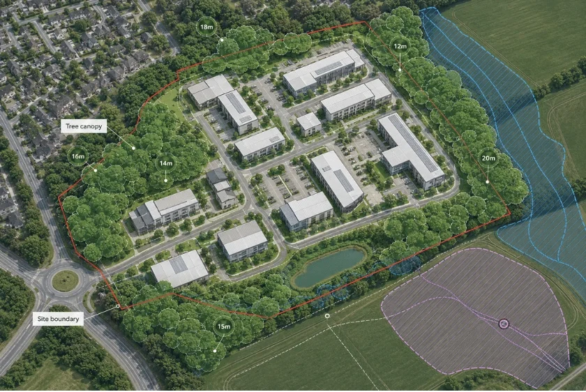
A practical guide explaining how early tree constraints mapping helps architects, planners and developers identify canopy, access and layout risks before design or planning work progresses too far.
18 Jun 2026

Explore the transformative applications of NTM™ data in sustainable urban planning, biodiversity conservation and public health improvement.
17 Jan 2025
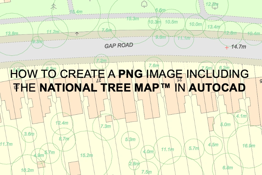
Learn how to use AutoCAD to create PNG images that include the National Tree Map™, ensuring detailed and accurate representations of vegetation in your maps.
03 Apr 2024