
Planning map requirements vary slightly between UK councils, but most follow national validation standards requiring licensed Ordnance Survey-based mapping.
Understanding these requirements prevents delays, rejections and validation issues.
Core Requirements Across Most UK Councils
The majority of local authorities require:
-
Location Plan (1:1250 or 1:2500)
-
Block Plan (1:500 or 1:200)
-
Site boundary outlined in red
-
North point
-
Correct scale
-
Copyright statement
These plans must be derived from licensed datasets such as MasterMap®.
England
Most English councils follow the National Planning Policy Framework guidance and require:
-
1:1250 location plans for urban sites
-
1:2500 for rural sites
-
Block plans at 1:500 or 1:200
Plans must clearly show:
-
Application boundary
-
Adjacent land ownership (blue line)
-
Surrounding roads and properties
Professional planning maps must originate from licensed Ordnance Survey datasets.
Scotland
Scottish councils typically require:
-
Location plan at 1:1250 or 1:2500
-
Detailed block plan
-
Additional site context for rural or agricultural land
Mapping standards are broadly consistent with England but validation checklists may vary.
Wales
Welsh authorities require:
-
Clear red line boundary
-
Appropriate scale mapping
-
Accurate contextual detail
Mapping must comply with Ordnance Survey licensing and copyright requirements.
Northern Ireland
Planning authorities in Northern Ireland require:
-
Location map at recognised scale
-
Site plan showing existing and proposed structures
Again, mapping must be licensed and compliant.
Common Reasons Applications Are Rejected
Across councils, applications are commonly invalidated due to:
-
Incorrect scale
-
Missing copyright notice
-
Cropped context
-
Illegible boundary markings
-
Use of unlicensed mapping
Screenshots from consumer platforms are not acceptable.
Why MasterMap® Is Commonly Used
MasterMap® provides:
-
Accurate building footprints
-
Land parcel boundaries
-
Road and access detail
-
Up-to-date spatial information
Most compliant location and block plans are derived from this dataset.
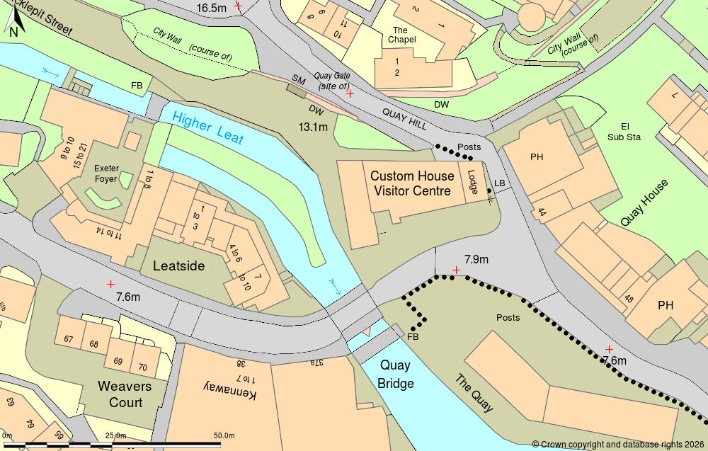
OS MasterMap® sample
How to Ensure Compliance
To avoid council rejection:
-
Use licensed Ordnance Survey mapping.
-
Confirm required scale.
-
Include copyright statement.
-
Clearly mark boundaries.
You can download compliant planning maps directly from MapServe®.
Frequently Asked Questions
Do all UK councils require the same maps?
Most require a location plan and block plan, but scale and detail may vary.
Is MasterMap® required?
It is commonly used to generate compliant location and block plans.
Where can I get compliant planning maps?
You can download licensed mapping from MapServe®.
Conclusion
While individual UK councils may vary slightly, most require licensed Ordnance Survey-based location and block plans derived from datasets such as MasterMap®.
For compliant planning maps accepted by councils across the UK, download directly from MapServe®.