A block plan is a mandatory drawing for most UK planning applications.
It shows your proposed development in context.
And it must meet strict validation standards.
For architects, planning consultants and developers, mistakes here cause delays.
This guide explains:
-
Required scale and format
-
Red and blue line rules
-
Common validation failures
-
Technical drawing standards
-
When highways and drainage details are needed
If you're submitting a planning application, this is essential reading.
What Is a Block Plan?
A block plan shows:
-
The proposed development
-
Site boundaries (red line)
-
Any additional land in your control (blue line)
-
Adjacent buildings
-
Access arrangements
-
Trees (where relevant)
-
North point and scale bar
It is typically drawn at 1:200 or 1:500 scale.
Unlike a location plan, it includes development detail.
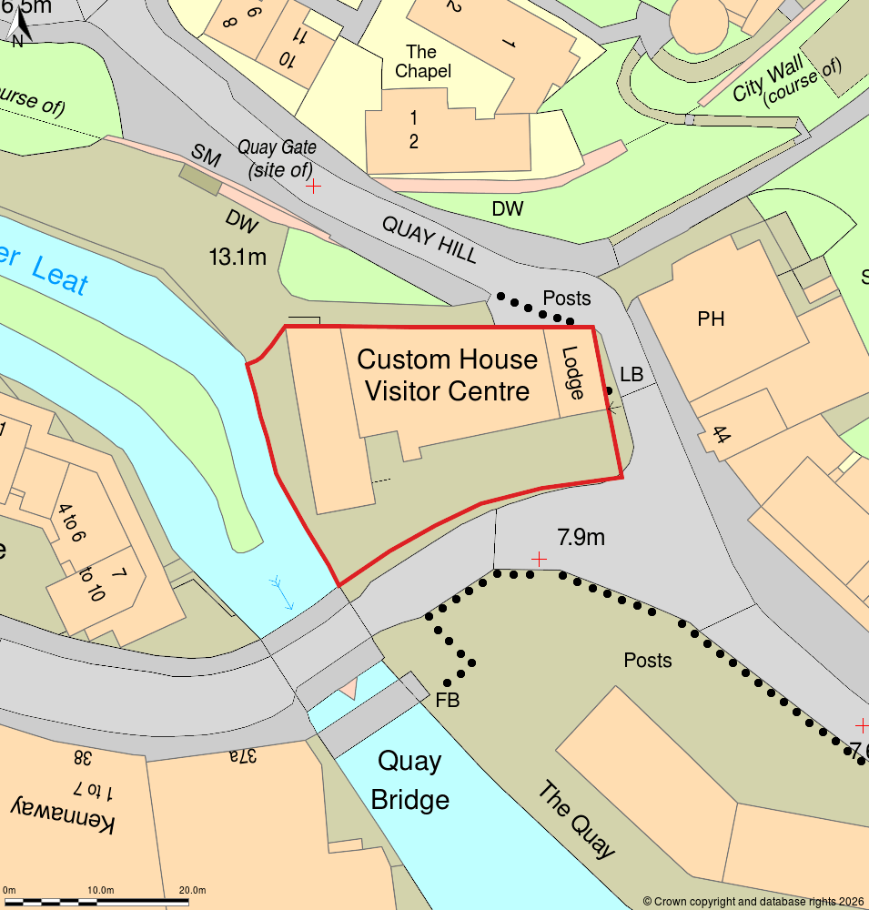
Block plan example at 1:500 scale
Block Plan Scale Requirements
Most UK local planning authorities require:
-
1:500 scale (standard residential sites)
-
1:200 scale (tight urban or detailed schemes)
Key compliance rules:
-
Scale must be clearly stated (e.g. 1:500 @ A3)
-
A graphic scale bar must be shown
-
North point must be included
-
Paper size must match stated scale
Critical Risk
If a 1:500 drawing is printed incorrectly on A4 instead of A3,
it is no longer compliant, even if the content is correct.
This is one of the most common validation failures.
Red Line and Blue Line Boundaries Explained
The red line must:
-
Enclose all land required for the development
-
Include access routes if crossing third-party land
-
Match the planning application form
The blue line must:
-
Show any adjoining land in the applicant’s ownership
Why Land Registry Plans Are Not Always Enough
Land Registry title plans:
-
Are general boundary representations
-
May not align precisely with OS MasterMap® detail
-
Can omit minor features
For planning, OS-based mapping with measured overlays is more reliable.
Boundary inaccuracies are a frequent cause of neighbour objections.
What Must Be Shown on a Block Plan?
Your drawing should include:
-
Proposed building footprint
-
Distance to all site boundaries
-
Distance to neighbouring buildings
-
Access and parking layout
-
Trees (especially protected trees)
-
Visibility splays (if new access)
-
Existing buildings on site
-
North arrow
-
Scale bar
Increasingly, councils also expect:
-
Surface water drainage direction
-
Connection points
-
Bin storage location
-
Cycle storage areas
Urban authorities are becoming stricter.
Visibility Splays and Highways Requirements
If your proposal includes:
-
A new vehicular access
-
Altered driveway position
-
Increased traffic movements
Highway authorities may require visibility splays shown on the block plan.
Failure to show these can trigger:
-
Validation delay
-
Highway objection
-
Conditional approval requiring revisions
These should be plotted accurately to highway standards.
Drainage & Flood Zone Considerations
In flood-sensitive areas, block plans may need to show:
-
Existing and proposed ground levels
-
Surface water flow direction
-
Soak away positions
-
Sewer connection points
Councils increasingly assess flood risk visually at validation stage.
A vague block plan increases scrutiny.
Common Reasons Block Plans Are Rejected
-
Incorrect scale
-
Missing scale bar
-
No north point
-
Red line not enclosing access
-
Distances not labelled
-
Illegible PDF exports
-
Raster images instead of vector CAD
Professional CAD output avoids these issues.
When Should You Use Professional CAD?
For straightforward extensions, simple mapping may suffice.
However, professional CAD block plans are advisable when:
-
The site has complex boundaries
-
Development is near neighbouring windows
-
Access crosses third-party land
-
Highway visibility is required
-
Flood risk constraints apply
-
Commercial development is proposed
Precision reduces risk.
How MapServe® Produces Compliant Block Plans
At MapServe®, we:
-
Use OS-based mapping
-
Draft in CAD
-
Ensure correct scale formatting
-
Overlay accurate red and blue boundaries
-
Include required technical annotations
-
Supply print-ready PDFs
Our plans are suitable for:
-
Planning applications
-
Lawful development certificates
-
Appeals
-
Discharge of conditions
Frequently Asked Questions
1. What scale should a block plan be?
Usually 1:500 or 1:200, depending on site size and council requirements.
2. Can I draw a block plan myself?
You can, using MapServe.
3. Is a block plan the same as a site plan?
Not exactly. The terms are sometimes used interchangeably, but a block plan is typically the formal planning submission drawing at required scale.
4. Do I need to show neighbouring buildings?
Yes. Adjacent structures must be shown to provide context.
5. How long does it take to produce a compliant block plan?
The turnaround for the block plan is immediate.