


Accurate MasterMap® mapping for planning applications, site appraisals and development proposals — available instantly in CAD and PDF formats from MapServe®.

Pick a need, see the recommended dataset, and jump straight to the right product.
| Need | Why it’s used | Typical Format | Recommended Map |
|---|---|---|---|
| Planning application location plan | LPA-compliant mapping at 1:1250 or 1:2500 | PDF / CAD | OS MasterMap® (1:1250) |
| Block plan for submission | Detailed building and feature context | PDF / CAD | OS MasterMap® (1:500) |
| Sloping or complex sites | Elevation data for development analysis | CAD | 1m Contours |
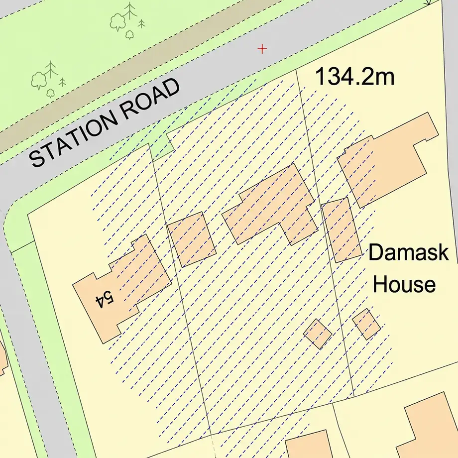
| Ownership plans | Supports land ownership checks | CAD | Freehold Boundaries |
| Landscape context | Identify canopy coverage and potential constraints | CAD | National Tree Map™ |
60 second guide
(and how to avoid them)
DWG and DXF for CAD workflows, plus scaled PDF and image formats for planning reports and submissions.
1:500, 1:1250 and 1:2500 — suitable for planning application block and location plans.
Instant download after checkout via MapServe®.
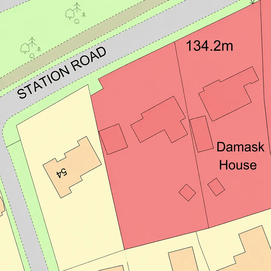
Most UK planning authorities require 1:1250 or 1:2500 location plans and 1:500 block plans based on MasterMap® data.
Yes — MasterMap® combined with Freehold boundary overlays supports accurate site ownership plans for submission.
Yes — MasterMap® provides the large-scale base mapping required for both outline and full applications.
Yes — rural and edge-of-settlement planning applications commonly use 1:2500 MasterMap® location plans.
Yes — all MasterMap® data is georeferenced, making it suitable for integration into planning GIS workflows.