Free to view MasterMap®
Download in a few minutes
Save up to 40% vs. other suppliers
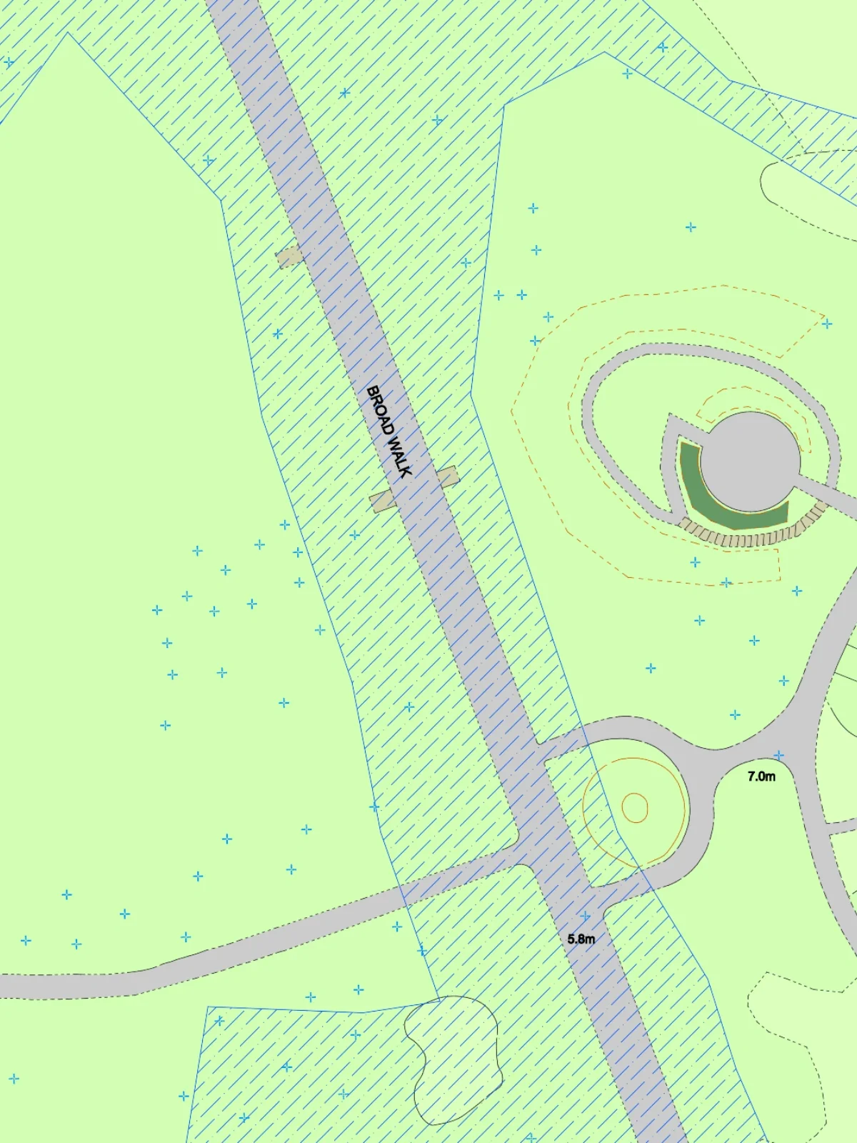
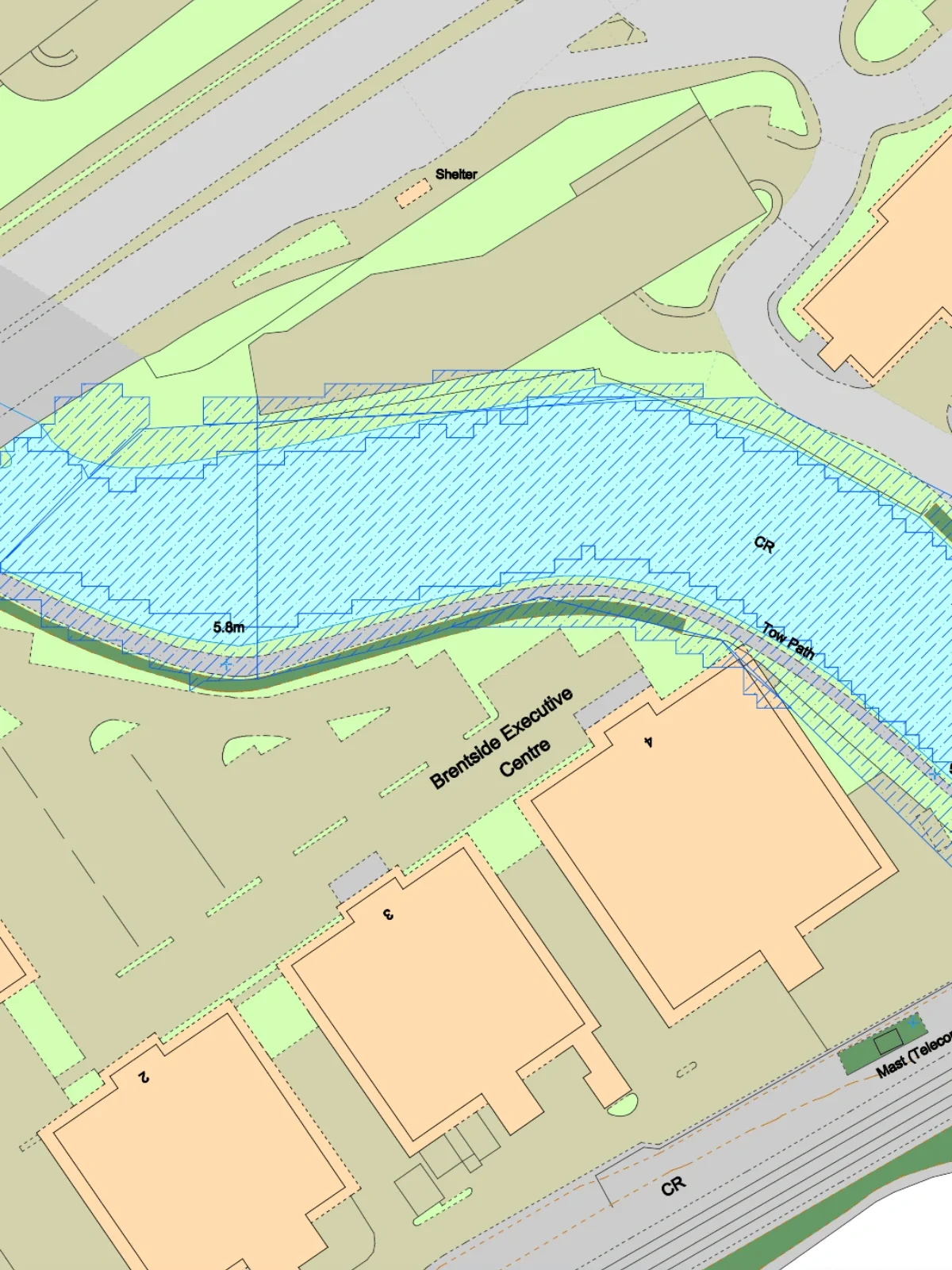
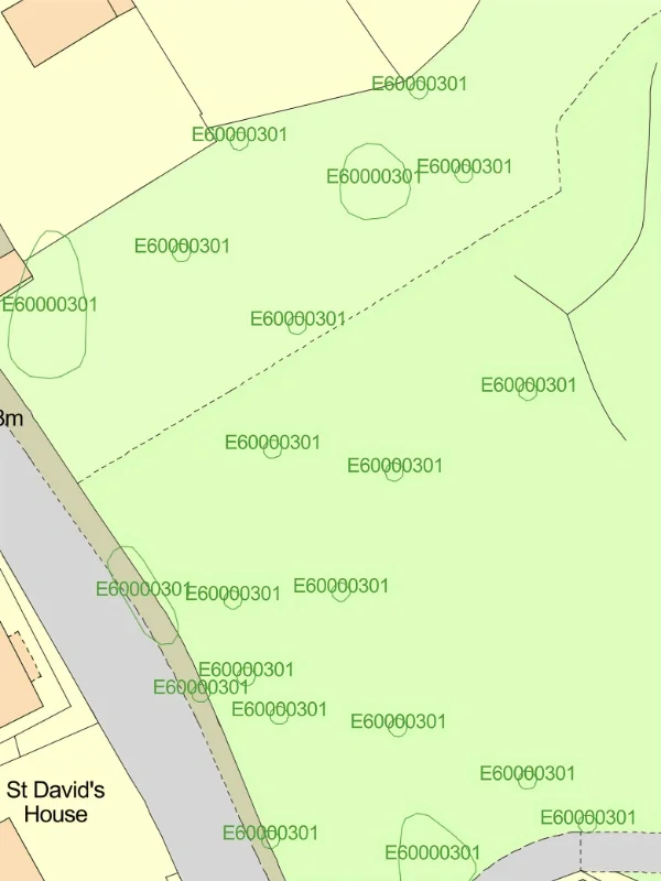
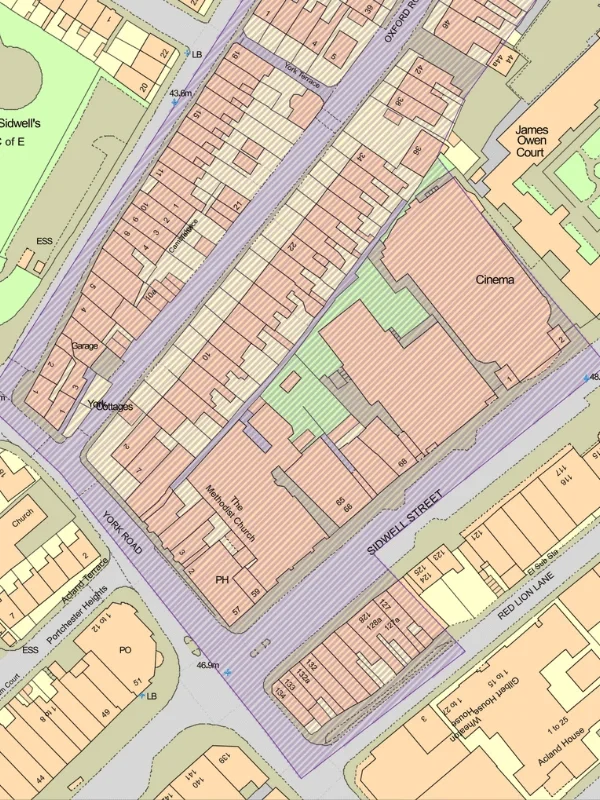
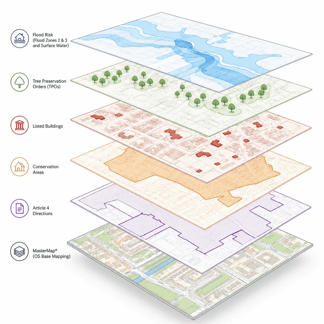
Multiple planning constraints in one map - identify flood risk, heritage and planning restrictions affecting a site.
OS MasterMap® base mapping included - accurate building, boundary and site context.
Planning-ready constraint mapping - ideal for site appraisals, planning applications and development feasibility.
Planning Constraints Maps from £13.72 ex VAT - understand constraints before investing time and money in a project.
Planning constraints are designations, environmental factors and legal protections that may affect how land can be developed or altered.
Understanding planning constraints at an early stage can help identify development risks, avoid costly redesigns and support more informed planning decisions.
Planning constraint maps are commonly used to:

| Sector | Need | Why it's used | Typical format |
|---|---|---|---|
| Planning | Identify development constraints | Supports planning applications and site assessments | DWG, DXF |
| Architecture | Understand site limitations | Helps inform design and development proposals | DWG, DXF |
| Development & Land | Assess development potential | Reveals constraints affecting site viability | DWG, DXF |
| Property | Investigate planning restrictions | Supports property and land due diligence | DWG, DXF |
| Surveying | Review planning and environmental context | Assists feasibility and site investigations | DWG, DXF |
| Planning Consultancy | Assess planning risk | Provides early-stage planning intelligence | DWG, DXF |
| Map product | Best used for | Key limitations |
|---|---|---|
| Flood Risk | Identifying flooding constraints | Does not include heritage restrictions |
| TPO Mapping | Identifying protected trees | Does not include wider planning designations |
| Listed Buildings | Identifying protected heritage assets | Does not show area-based constraints |
| Conservation Areas | Understanding heritage protection zones | Does not identify all listed buildings |
| Listed Buildings with 50m Buffer | Identifying nearby heritage assets and setting considerations | Does not show flood risk, TPOs or wider area-based constraints |
| Combined Planning Constraints | Early-stage site assessment | May require specialist reports for planning submission |
Planning constraint maps provide valuable early-stage information but should not replace specialist planning, environmental or heritage advice where required.
| Attribute | Description |
|---|---|
| Coverage | England, Wales & Scotland |
| Base mapping | OS MasterMap® |
| Flood data | Environment Agency Flood Zones 2 & 3 |
| Heritage data | Listed Buildings and Conservation Areas |
| Planning data | TPO constraints, Listed Buildings with 50m buffer and Conservation Areas |
| Formats | CAD (DWG & DXF) |
| Projection | British National Grid |
| Grid reference system | OSGB36 |
| Mapping extent | Site-specific and surrounding planning context |
| Output options | Planning constraint overlays and site-specific maps |
| Licensing | Searchland, Environment Agency and Ordnance Survey licensing terms apply |
A planning constraints map shows environmental, heritage and planning designations that may affect development land or property.
Available constraints include Flood Zone 2, Flood Zone 3, Tree Preservation Orders, Listed Buildings with 50m buffer and Conservation Areas.
Yes. Planning constraints can influence site design, development potential and planning decisions.
No. It provides early-stage planning intelligence but does not replace professional planning advice or specialist reports.
Yes. Flood Zones 2 & 3 and Surface Water Flood Risk data from the Environment Agency are included.
Yes. Listed Buildings and Conservation Areas are included within the mapping.
Yes. MapServe includes Listed Buildings with a 50m buffer to help identify nearby heritage sensitivity and potential setting considerations.
Yes. They are commonly used during property acquisition, development appraisal and feasibility studies.


