Free to view MasterMap®
Download in a few minutes
Save up to 40% vs. other suppliers
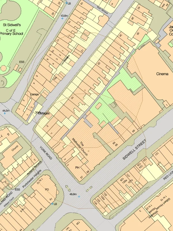
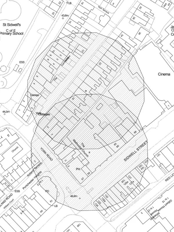
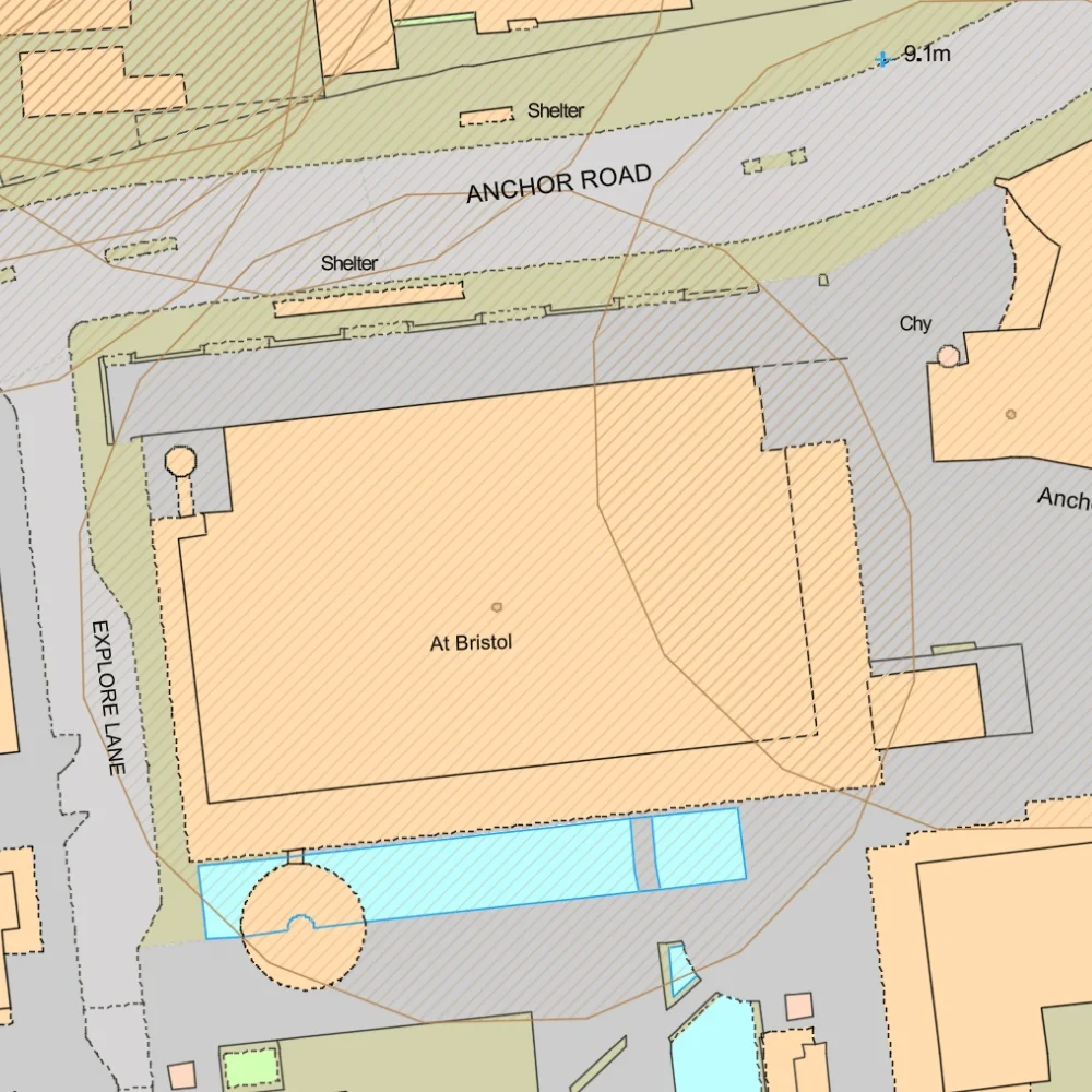
Listed building mapping with 50m buffer - identify designated heritage assets affecting development sites.
OS MasterMap® base mapping included - accurate building, boundary and site context.
Heritage constraints for planning and development - understand potential restrictions before design begins.
Site-specific listed building maps - ideal for planning, heritage and land analysis workflows.
Listed buildings are structures recognised for their special architectural or historic interest and protected under heritage legislation. Alterations, extensions, demolition and certain works affecting listed buildings may require Listed Building Consent in addition to planning permission.
Listed building mapping helps identify protected heritage assets and understand their relationship to surrounding land, buildings and development proposals.
Listed building maps are commonly used to:

| Sector | Need | Why it's used | Typical format |
|---|---|---|---|
| Planning | Identify heritage constraints | Helps assess planning implications of nearby listed buildings | DWG, DXF |
| Architecture | Understand protected building context | Supports design development and heritage-sensitive proposals | DWG, DXF |
| Heritage Consulting | Prepare heritage statements and assessments | Identifies designated heritage assets and their setting | DWG, DXF |
| Development & Land | Assess site constraints and opportunities | Reveals heritage designations that may affect development potential | DWG, DXF |
| Surveying | Review surrounding heritage assets | Supports site appraisal and planning investigations | DWG, DXF |
| Property & Conveyancing | Understand heritage designations affecting land | Assists property and site due diligence | DWG, DXF |
| Map product | Best used for | Key limitations |
|---|---|---|
| Listed Buildings | Protected historic buildings | Does not include all heritage constraints |
| Conservation Areas | Wider heritage protection zones | Does not identify all individual listed buildings |
| Scheduled Monuments | Archaeological and nationally important sites | Different designation type and planning controls |
| Combined heritage mapping | Early-stage planning and site assessment | May require specialist heritage advice |
While listed building maps identify designated heritage assets, they do not replace professional heritage advice or detailed planning assessment.
| Attribute | Description |
|---|---|
| Coverage | England, Wales and Scotland |
| Data sources | Local authorities |
| Formats | CAD (DWG & DXF) |
| Projection | British National Grid |
| Grid reference system | OSGB36 |
| Mapping extent | Site-specific and surrounding heritage context |
| Base mapping | OS MasterMap® |
| Compatible workflows | Planning, heritage and land analysis |
| Output options | Heritage overlays, listed building maps and site-specific extracts |
A listed building is a structure protected because of its special architectural or historic interest.
A listed buildings map shows the location of designated heritage assets with a 50m buffer around the building and their relationship to surrounding land and development sites.
These grades reflect the national significance of the building, with Grade I representing the highest level of protection.
Yes. Listed buildings can affect development proposals, planning decisions and consent requirements.
No. Conservation areas are separate heritage designations, although they are often considered alongside listed buildings during planning assessments.
Many works require Listed Building Consent from the relevant authority before changes can be carried out.
Yes. Listed building maps are commonly used when preparing heritage statements, planning reports and development appraisals.
No. They provide essential context but should not replace specialist heritage assessment where required.


