Free to view MasterMap®
Download in a few minutes
Save up to 40% vs. other suppliers
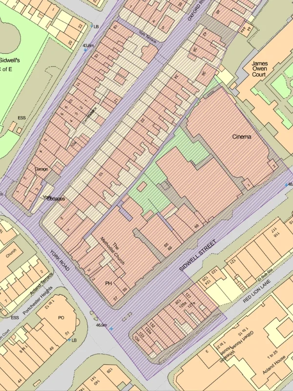
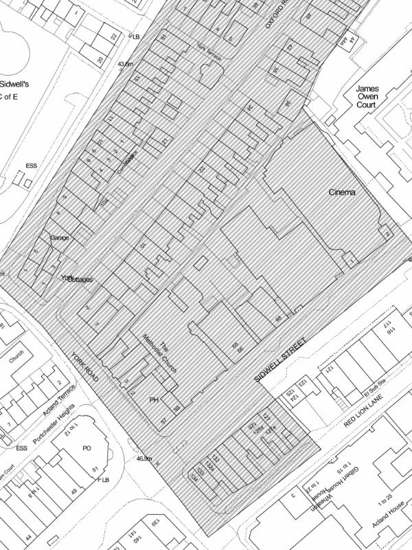
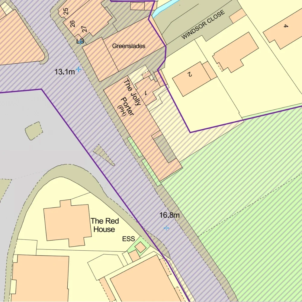
Conservation Area mapping - identify designated heritage areas affecting development and planning proposals.
OS MasterMap® base mapping included - accurate building, boundary and site context.
Heritage constraints for planning and design - understand additional planning controls before development begins.
Site-specific Conservation Area maps - ideal for planning, heritage and land analysis workflows.
Conservation Areas are designated by local planning authorities to protect areas of special architectural or historic interest. The aim is to preserve or enhance the character and appearance of these locations, which may include historic town centres, villages, residential areas or landscapes.
Development within a Conservation Area may be subject to additional planning controls affecting alterations, demolition, extensions, trees and new development.
Conservation Area maps are commonly used to:

| Sector | Need | Why it's used | Typical format |
|---|---|---|---|
| Planning | Identify heritage constraints | Helps assess planning considerations affecting a site | DWG & DXF |
| Architecture | Understand Conservation Area restrictions | Supports design development and planning strategy | DWG & DXF |
| Heritage Consulting | Assess historic character and setting | Supports heritage statements and planning reports | DWG & DXF |
| Development & Land | Review site constraints before acquisition | Identifies planning restrictions that may affect development potential | DWG & DXF |
| Surveying | Assess surrounding planning context | Supports site appraisal and feasibility work | DWG & DXF |
| Property & Conveyancing | Understand heritage designations affecting land | Assists due diligence and planning investigations | DWG & DXF |
| Map product | Best used for | Key limitations |
|---|---|---|
| Conservation Areas | Understanding area-wide heritage constraints | Does not identify all individual heritage assets |
| Listed Buildings | Identifying protected historic buildings | Does not show wider heritage protection areas |
| Scheduled Monuments | Archaeological and nationally important sites | Different designation type and planning controls |
| Combined heritage mapping | Early-stage planning and site assessment | May require specialist heritage advice |
While Conservation Area maps identify designated heritage areas, they do not replace professional planning or heritage advice.
| Attribute | Description |
|---|---|
| Coverage | England, Wales and Scotland |
| Data source | Local authorities |
| Formats | CAD (DWG & DXF) |
| Mapping types | Conservation Area boundaries and heritage constraints |
| Projection | British National Grid |
| Grid reference system | OSGB36 |
| Mapping extent | Site-specific and surrounding heritage context |
| Base mapping | OS MasterMap® |
| Compatible workflows | Planning, heritage and land analysis |
| Licensing | Subject to applicable heritage dataset and Ordnance Survey licensing terms |
A Conservation Area is an area designated by a local planning authority because of its special architectural or historic interest.
A Conservation Area map shows designated Conservation Area boundaries and the surrounding site context.
Yes. Development within a Conservation Area is often subject to additional planning controls and design considerations.
No. Development may still be possible, but proposals are often assessed more carefully to ensure they preserve or enhance the area's character.
A Conservation Area protects the wider character of an area, while a Listed Building protects a specific building or structure.
Yes. Trees within Conservation Areas may be subject to additional protection even where no Tree Preservation Order exists.
Yes. Conservation Area mapping is commonly used when preparing heritage statements, planning reports and site appraisals.
No. They provide important planning context but should not replace professional planning or heritage advice where required.


