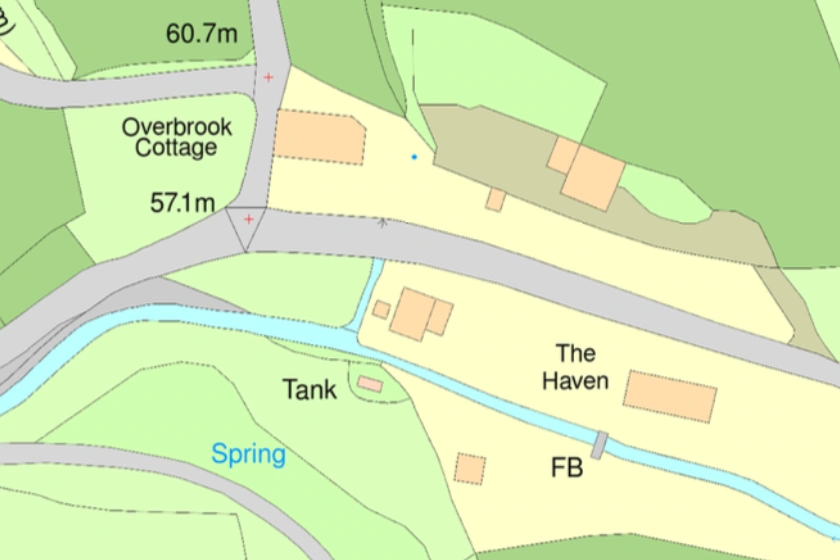
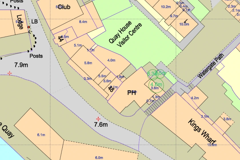
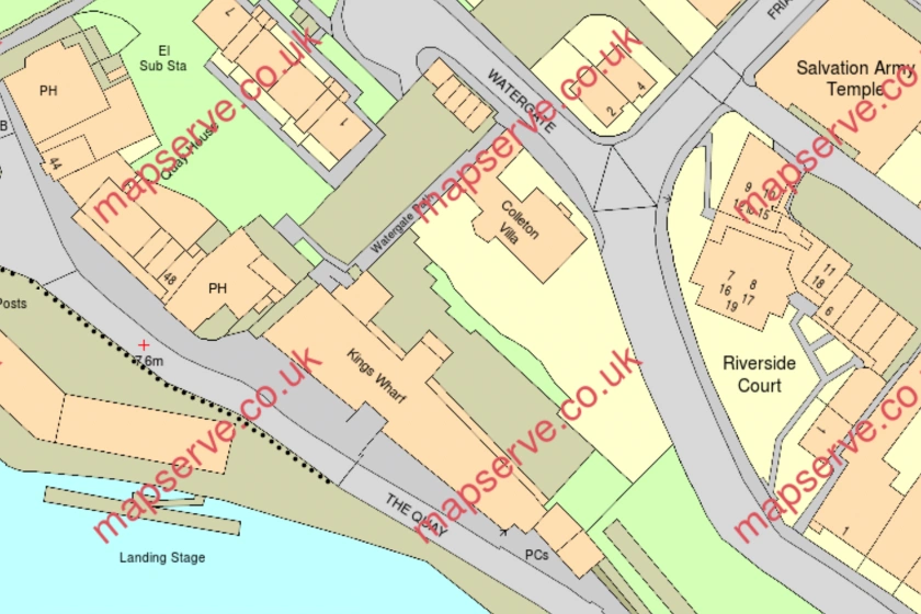
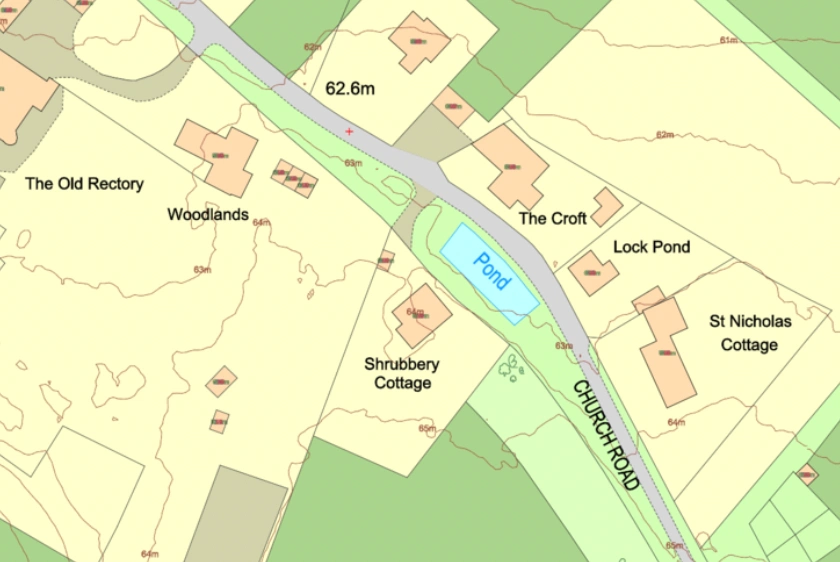
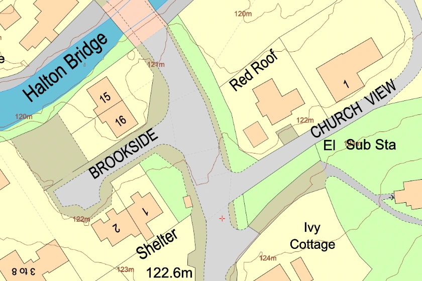
OS MasterMap® is the largest scale Ordnance Survey map at 1:1250 scale
07 Jan 2022
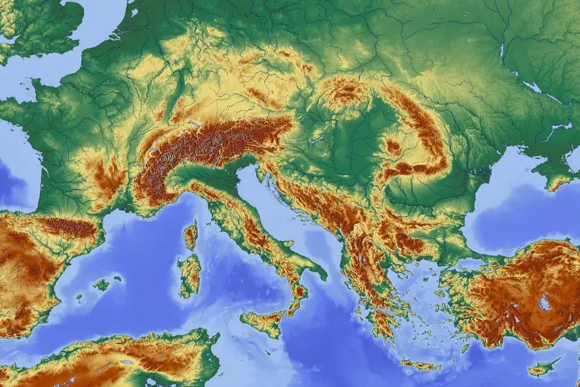
The Ordnance Survey is Britain's national mapping company. It conducts official surveying in the UK, providing the most precise and up-to-date geospatial information.
06 Jan 2022
A quick guide explaining how to download and access OS mapping withing minutes.
06 Jan 2022
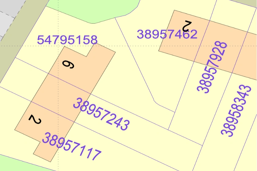
Freehold ownership boundaries in CAD format from the Land Registry.
30 Apr 2021
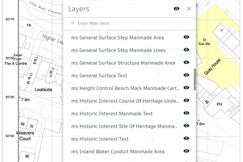
New MasterMap® 'Pro' version explained.
13 Jan 2021
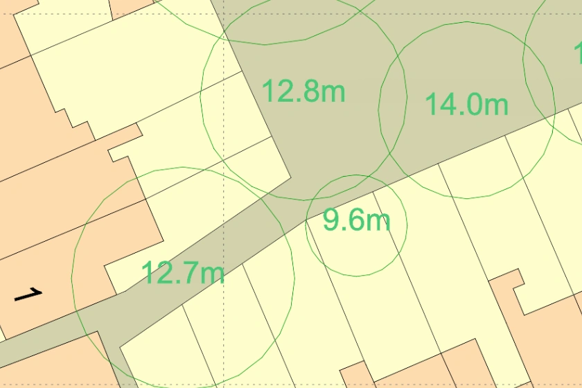
The most detailed dataset of location, height and canopy/crown extents for every single tree 3m and above in height, across England, Scotland and Wales.
13 Jan 2021