
OS maps provide a recognised base for planning applications, but clear scale, coverage, boundaries and export quality are what help reduce validation delays.
27 May 2026

OS map DWG downloads give architects, planners and surveyors editable Ordnance Survey mapping for faster CAD-based planning drawings, site appraisals and early design layouts.
21 May 2026
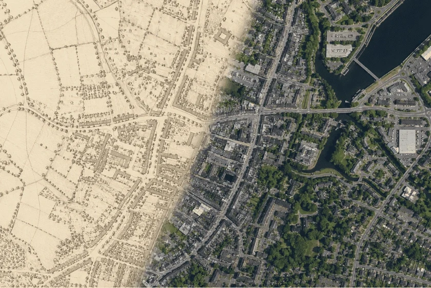
A clear guide to using historic OS mapping as robust supporting evidence in heritage statements and planning submissions.
08 May 2026

Free UK property boundary maps are useful for early research but lack the accuracy, scale, and compliance required for planning applications, making professional OS-based mapping essential.
31 Mar 2026
Digital OS maps are created and maintained by Ordnance Survey using ground surveys, aerial imagery and LiDAR within the National Geographic Database.
12 Feb 2026

This guide compares Promap with alternatives for accessing MasterMap® and planning maps, including licensed downloads from MapServe®.
11 Feb 2026

This guide explains what MasterMap® is, how it is created from Ordnance Survey data, and how professionals access it via MapServe®.
11 Feb 2026

This guide explains which MasterMap® and Ordnance Survey maps are required for UK planning applications and how to obtain them from MapServe®.
11 Feb 2026

This guide explains which MasterMap® and large-scale OS maps are best for UK planning permission and how to obtain them from MapServe®.
11 Feb 2026