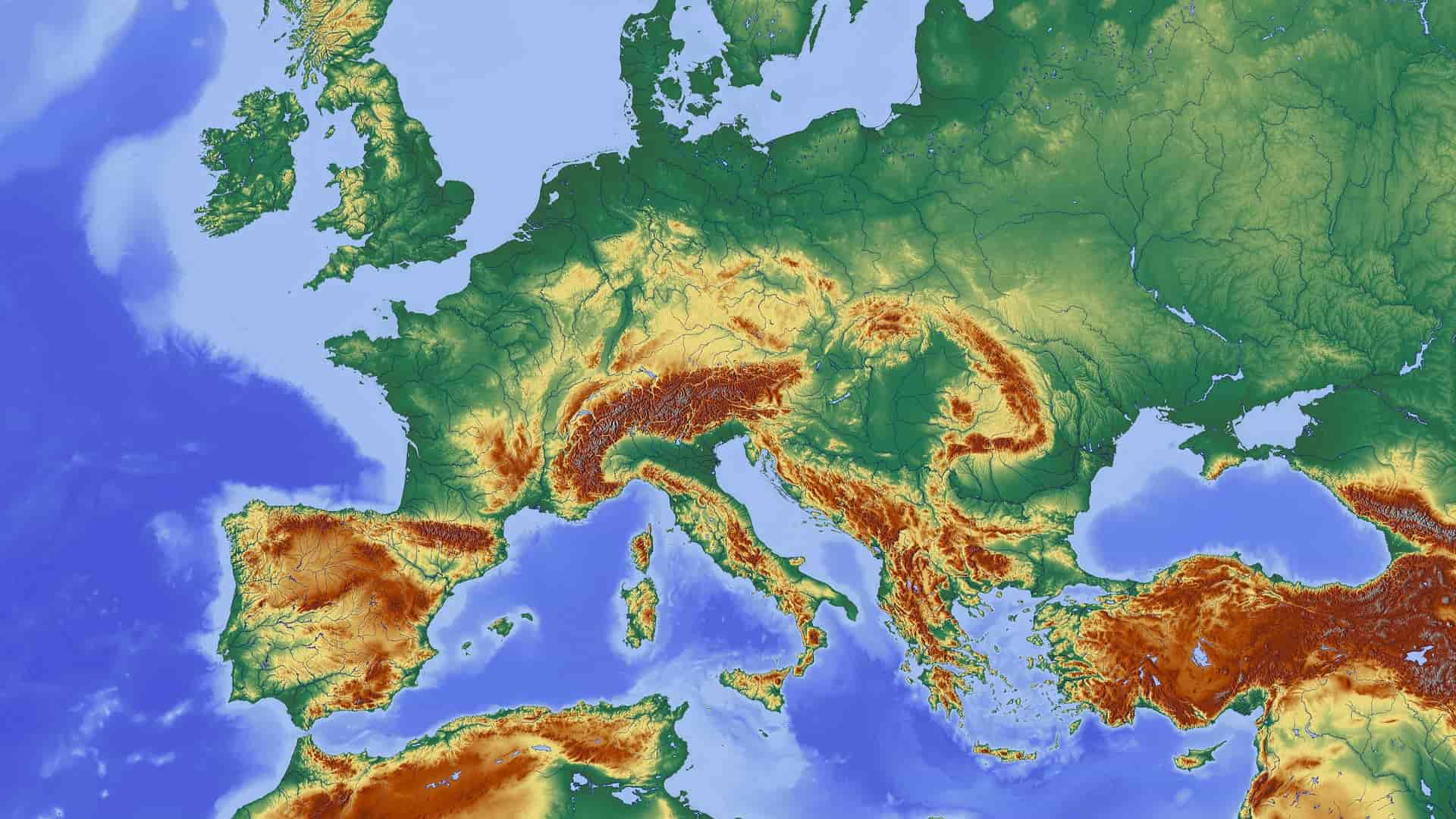
What does topography mean?
Topography is the study of the shapes and properties of land. The topography of a region might relate to the surface forms and characteristics itself, or it could be a description of them and particularly on maps.
In a nutshell, topography is the documentation of elevation or terrain, the 3D aspect of the ground, and the classification of specific landforms. It is also sometimes referred to as geomorphometry. In current usage, this entails the creation of digital data. It is frequently thought to comprise the graphic representation of a landform on a map using a number of cartographic relief portrayal techniques such as contour lines, geomorphic colors, and hill shading.
Get the latest update of OS topographic maps here
OS MasterMap®
OS MasterMap® is the main product of the Ordnance Survey. It is regularly updated every 6 weeks and shows every fixed feature of more than a few meters in the UK, in one continuous map. Each feature in OS MasterMap® Topography Layer is a database entry. Each of these records contains information on the feature's position and shape on Earth – its geometry – as well as information about it known as 'attributes.' You can get the OS MasterMap® through MapServe®.
The OS MasterMap® family is built on the Topography Layer. It gives a precise visual context to aid in the interpretation of locations, routes, and visuals offered by the other layers.
It is structured into nine categories that divide the features into logical groups of items to allow consumers more flexibility in data choices. Because a feature might be a member of more than one theme, themes should not be regarded as distinct data layers. Themes enable a user who is only interested in one type of data, such as building footprints, to pick only that data:
- Administrative limits
- Buildings
- Antiquities & Heritage
- Structures
- Roads, Tracks & Trails/Paths
- Water
- Height & Terrain
- Land
- Rail
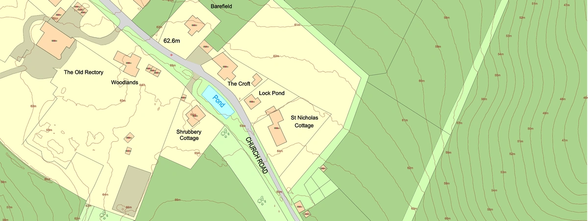
OS MasterMap® sample