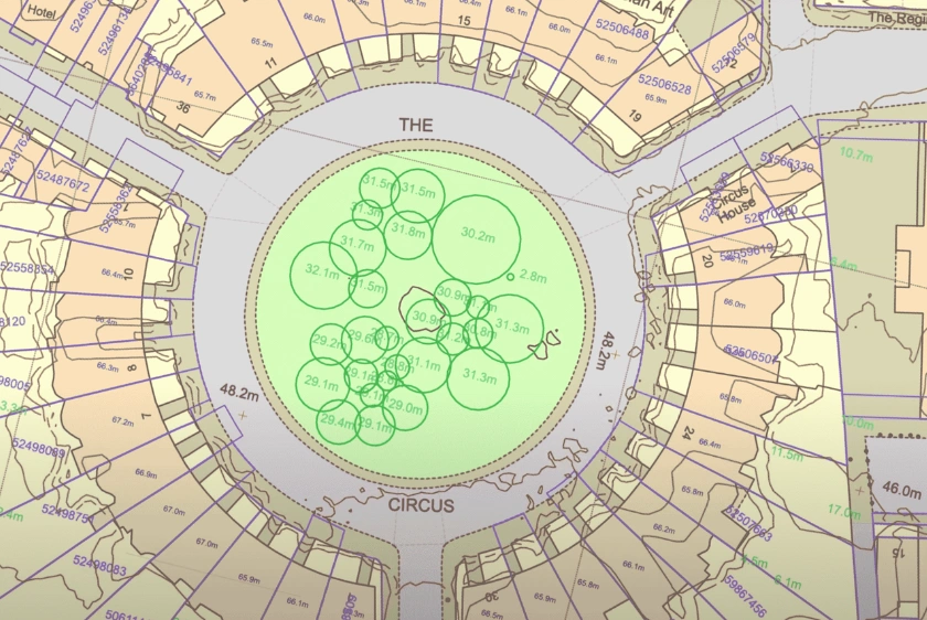
Ordnance Survey maps provide critical pre-visit data—heights, boundaries, and terrain—enabling better on-site decisions across planning disciplines.
13 Aug 2025

Ordnance Survey's Enhanced Land Cover Mapping delivers precise geospatial data to support biodiversity, natural capital, and sustainable development goals.
18 Nov 2024

A brief introduction to licencing basics and crucial considerations for making the best use of Ordnance Survey mapping.
14 Dec 2023
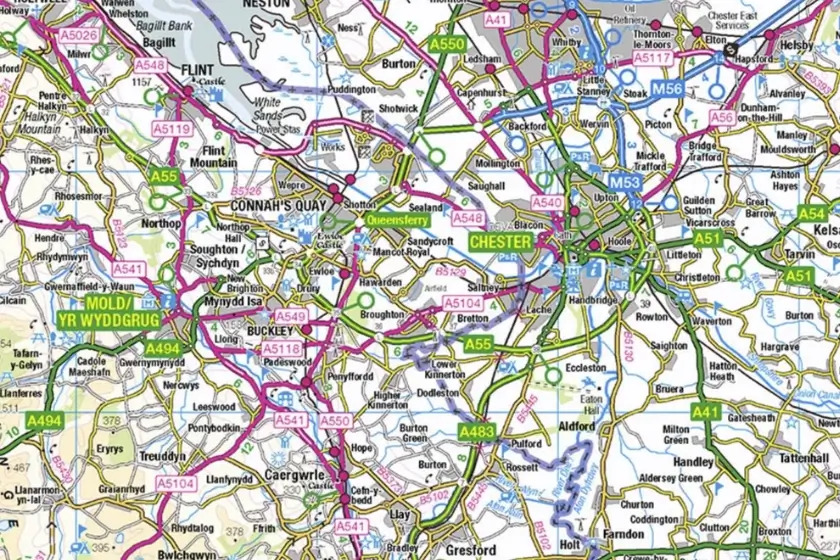
OS map types are available to preview for free through the Ordnance Survey website, MapServe® and more sources.
23 Nov 2023
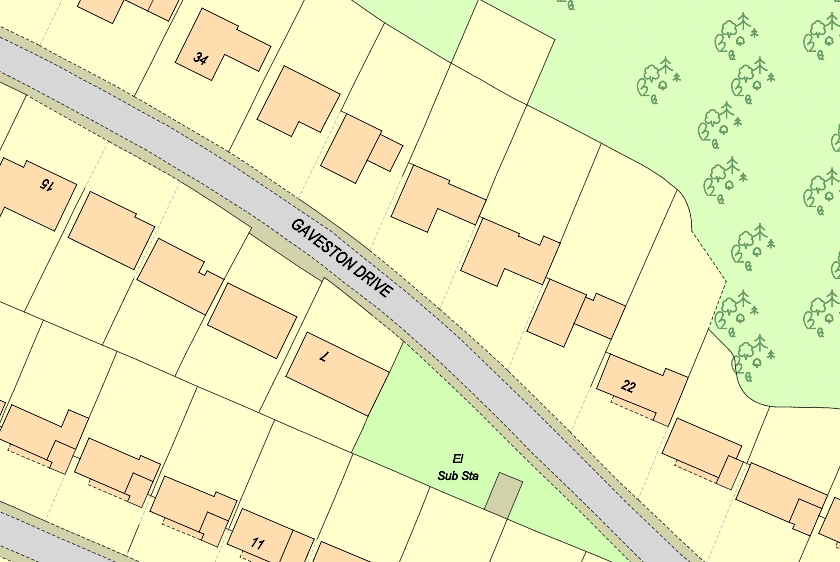
Discover the seamless process of ordering large-scale OS maps in this blog post, guiding you through the steps to obtain detailed and accurate maps for your specific needs.
16 Nov 2023
The OS have recently introduced 149 new classifications of land and property into their flagship MasterMap topographic map (now part of the 'National Geographic Database' or 'NGD'.
23 Oct 2023

Ordnance Survey mapping is a vital tool for event organisers, allowing them to prioritise safety and efficiency in outdoor event planning.
21 Aug 2023

A comprehensive list of various apps and websites where you can preview Ordnance Survey (OS) maps on your phone including the official OS maps App.
08 Feb 2023

OS maps are specifically created by the Ordnance Survey, Great Britain's official national organisation.
08 Feb 2023