A practical guide to using 1 m contour data to de-risk drainage, access and earthworks decisions before detailed design.
11 Mar 2026
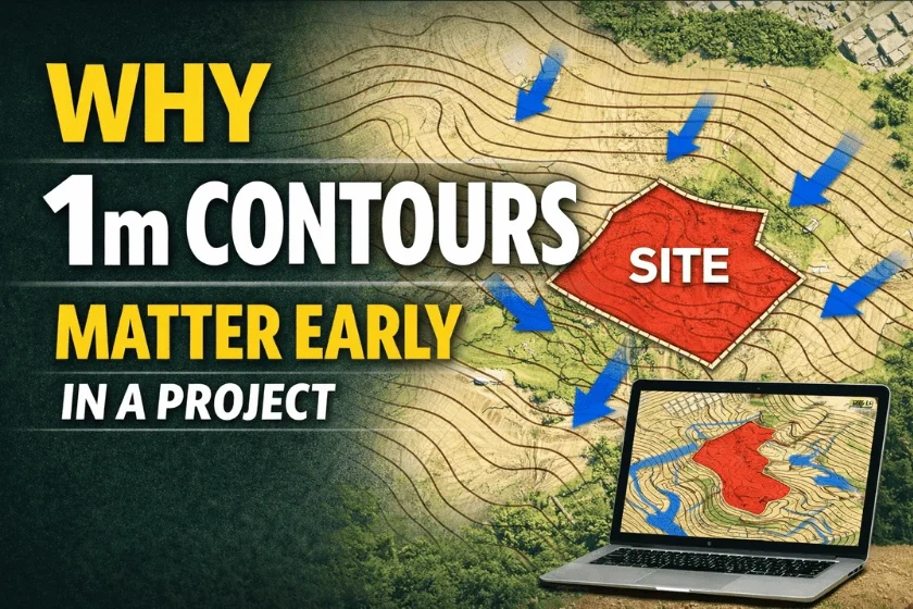
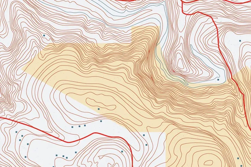
Using 1m contour data on MapServe® reveals five critical site risks: drainage, access gradients, excavation surprises, flood vulnerability & SuDS conflicts, helping UK professionals save time, money & compliance hassle.
16 Jun 2025
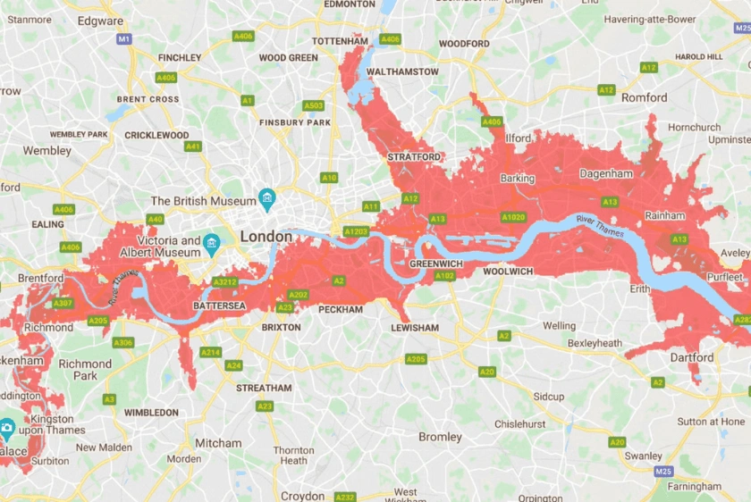
Digital mapping offers architects and planners in the UK accurate tools to mitigate flood risks and build climate-resilient communities.
12 Feb 2025
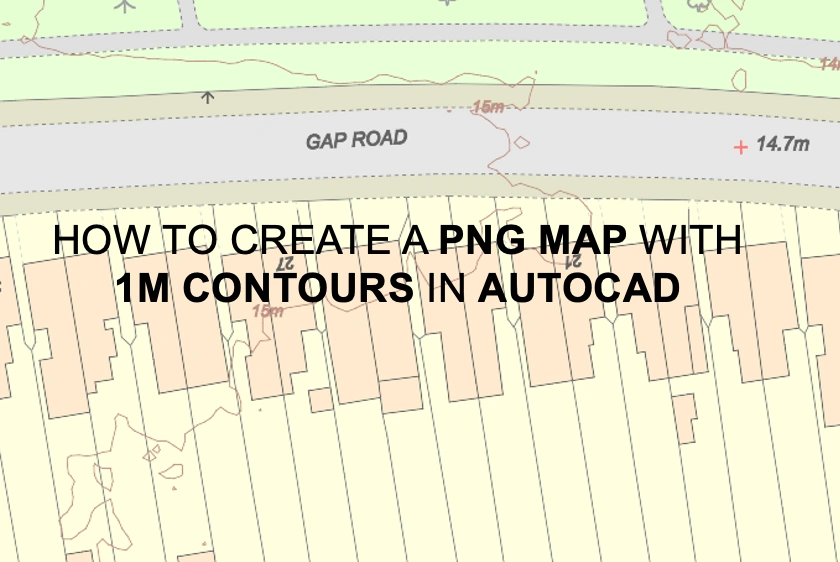
A tutorial for using AutoCAD to make PNG maps with detailed 1m contour lines to improve terrain understanding.
03 Apr 2024
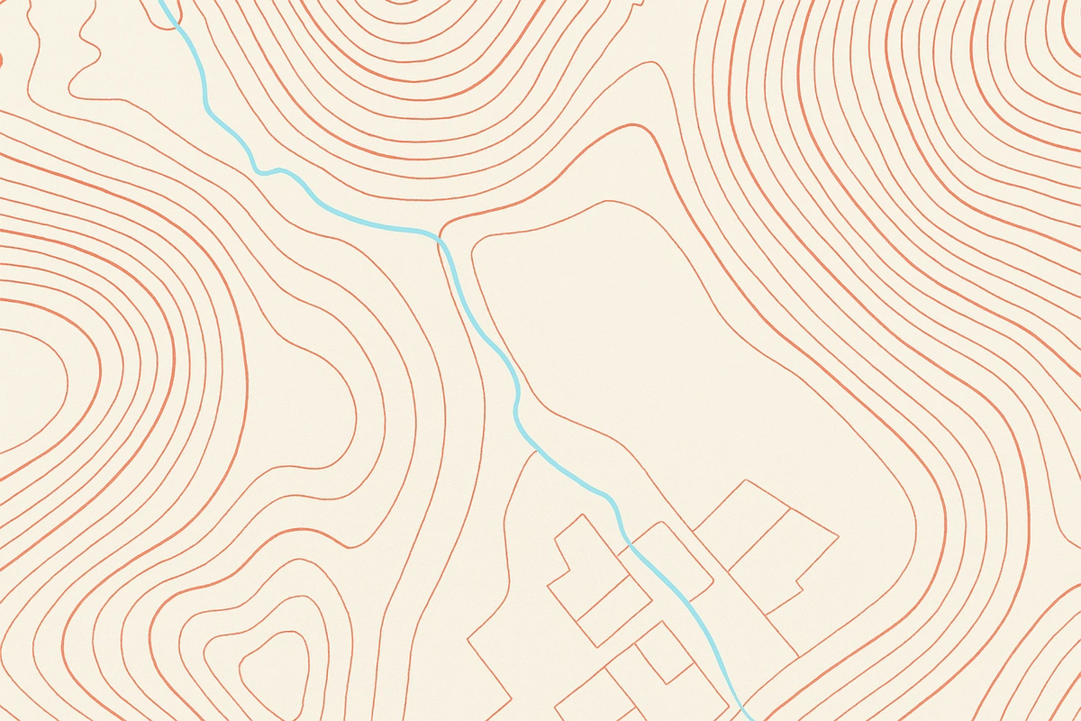
Dive into our comprehensive guide exploring the intricacies and practical applications of topography maps tailored for architects and building professionals.
20 Feb 2024
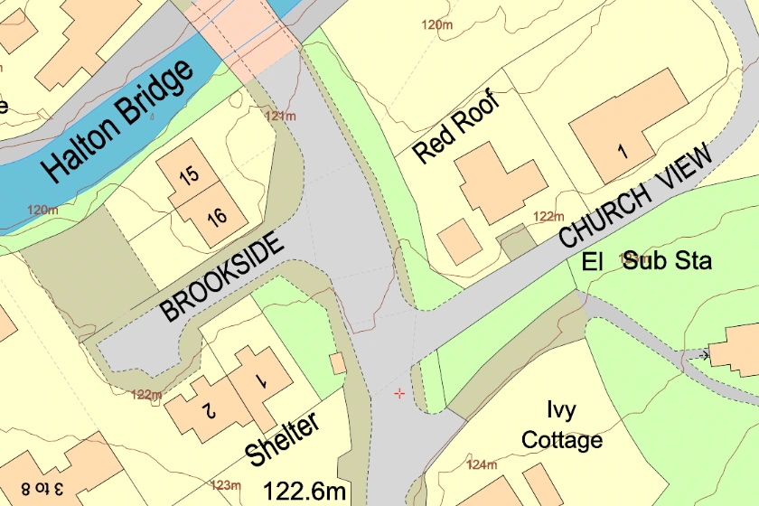
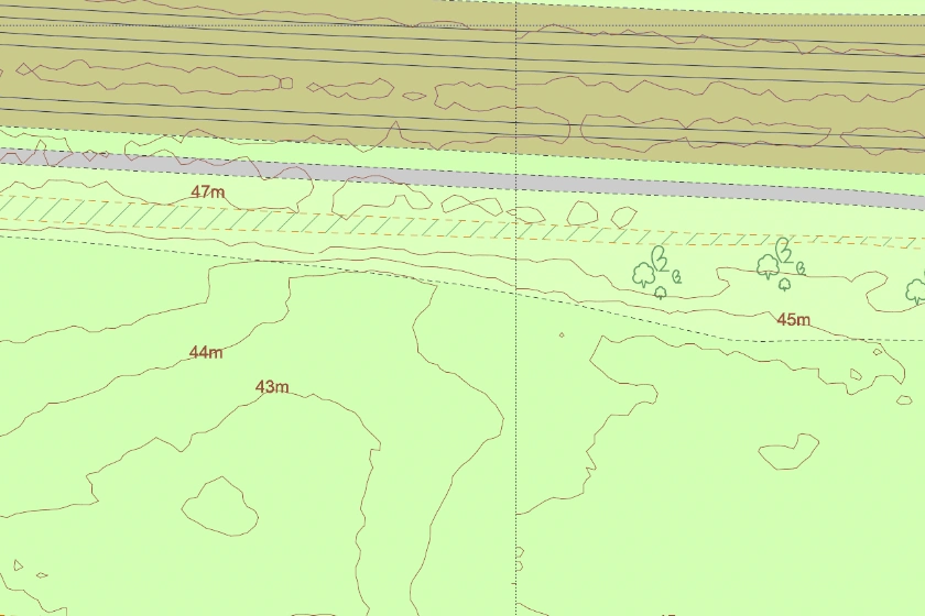
An accurate representation of the topography of the land and covers over 60% of England, Wales and a section of Scotland.
13 Jan 2021