
How EDGE AD Uses MapServe®'s Roof Layer to Save Time in Design
At MapServe®, we’re always developing new tools to help architects and property professionals work more efficiently. One of our latest features, the Roof Layer, provides instant access to accurate roof heights and outlines — reducing the need for costly and time-consuming site surveys in the early design stages.
We recently spoke with Ben Liddle, Architect and Director at EDGE AD in Sheffield, about how he has been using the roof layer on live projects.
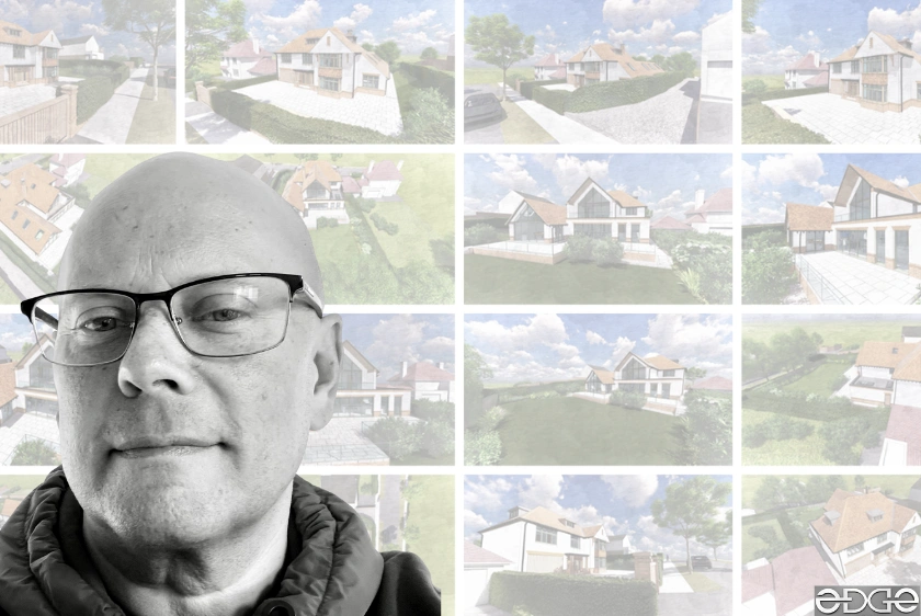
A Wide Range of Projects
EDGE AD works on a variety of schemes, from domestic extensions through to larger residential and mixed-use developments. For Ben and his team, efficiency at the concept stage is key.
Ben also shared that he moved to MapServe® about a year ago from another supplier, finding MapServe® to be the more cost-effective option without compromising on data quality.
“Time is money. If it saved time, it saved money. For early concept drawings, it’s definitely useful.”
Download MapServe®'s new roof data
From Map Data to Design
Traditionally, roof height data could only be gathered by commissioning a full topographical survey or by physically visiting the site to take measurements. Both approaches add cost and slow down progress.
The MapServe® Roof Layer is powered by trusted Ordnance Survey datasets, giving architects instant access to accurate roof heights and outlines. With this information, Ben was able to:
-
Import roof height data directly into CAD software and SketchUp
-
Create elevations and concept drawings more quickly
-
Model rooflines and surrounding context with confidence
One recent project where this was put into practice was in Bingham, Nottingham, where roof data was used to inform elevations and concept layouts.
Accuracy and Practicality
For Ben, the Roof Layer is particularly valuable in urban environments, where multiple buildings with varied heights and roof forms must be considered during feasibility and design. Having reliable roof height data at the outset means fewer site visits are required and concept work can be developed with greater accuracy.

For EDGE AD, the MapServe® Roof Layer — built on authoritative Ordnance Survey data — provides valuable roof height information that helps speed up early design work and reduces reliance on surveys at the concept stage. Combined with the cost savings that first led Ben to switch to MapServe®, the Roof Layer has quickly become a trusted part of his workflow.
As Ben explained, it’s all about saving time while working with accurate information — something that can make a real difference across projects of all scales.
👉 Try the Roof Layer today on MapServe® and see how it can support your next project.
You can download a roof layer sample through MapServe®'s website.