


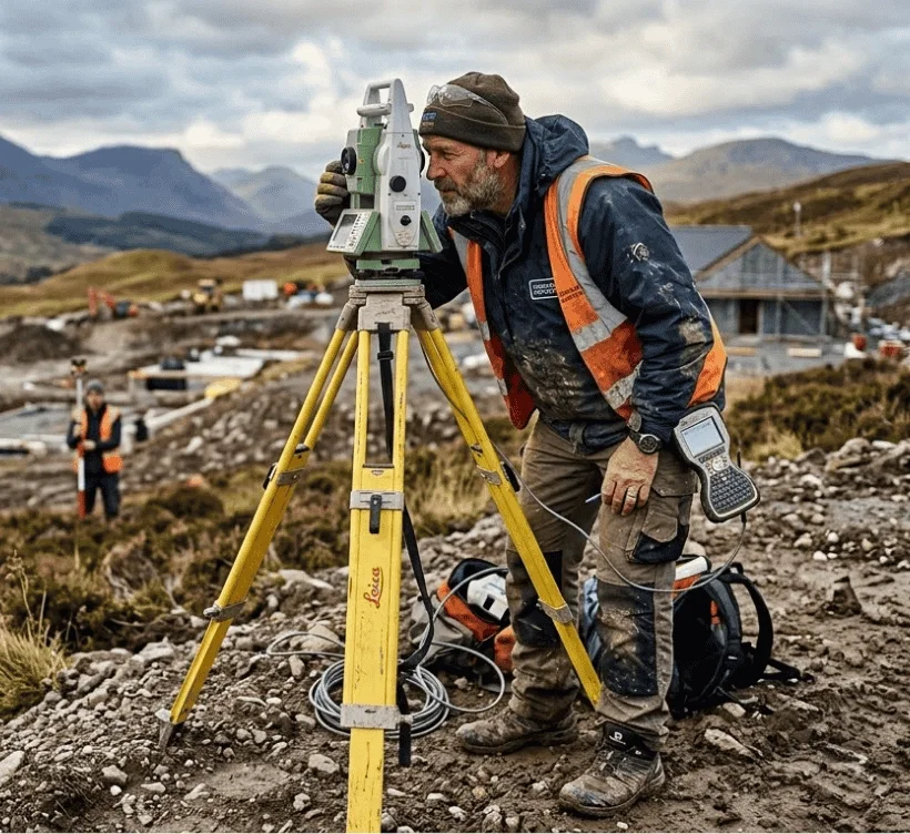
Surveyors demand precise geospatial datasets that integrate seamlessly with field measurements and CAD environments. MapServe® supplies OS MasterMap® and specialised layers to underpin detailed survey tasks, legal plans and site documentation.
Pick a need, see the recommended dataset, and jump straight to the right product.
| Need | Why it’s used | Typical Format | Recommended Map |
|---|---|---|---|
| Measured building surveys | Accurate building footprints for reference & CAD alignment | PDF / CAD | OS MasterMap® |
| Legal boundary verification | Shows registered ownership extents for title comparison | CAD | Freehold Boundaries |
| Level analysis & drainage | Identifies gradient changes and fall direction | CAD | 1m Contours |
| Vertical context | Supports 3D modelling and volumetric analysis | CAD | Building Heights |
| Site context reporting | Visual verification and survey cross-checking | PNG | Aerial Imagery |
60 second guide
(and how to avoid them)
DWG and DXF for CAD and GIS workflows, plus scaled PDFs and image exports for survey reports
1:500, 1:1250 and 1:2500 OS mapping for boundary and topographic surveys
Instant digital download immediately after checkout
MasterMap® provides authoritative large-scale mapping used as a contextual base for boundary and measured surveys, but field verification remains essential.
Yes — all datasets from MapServe® are georeferenced to BNG, ensuring compatibility with GNSS and total station data.
Yes — Freehold overlays can be added to assist with ownership investigations and legal plan preparation.
Yes — 1m contour datasets support level analysis and topographic context.
Yes — DWG and DXF formats are available for instant download after checkout.