There are different kinds of OS mapping available. Some of them are provided for free while others like OS MasterMap® have to be paid in order to view and download them.
Download the latest OS maps here
Free OS maps
The following Ordnance Survey maps are available through OpenData and are available free of charge and without registration.
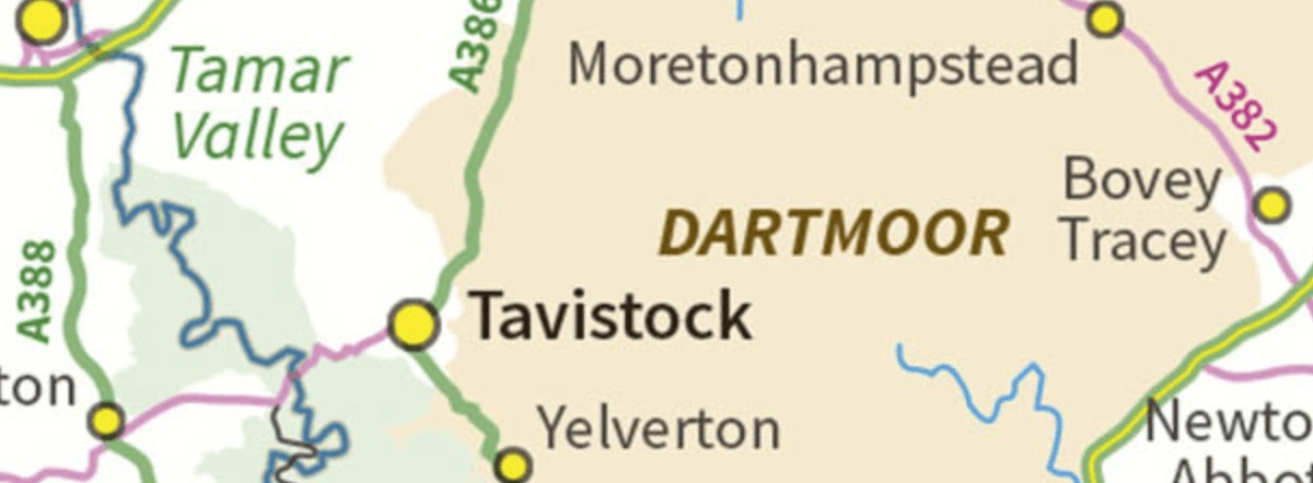
1:250 000 Scale Colour Raster™
Shows towns and villages including roads and places of interest.
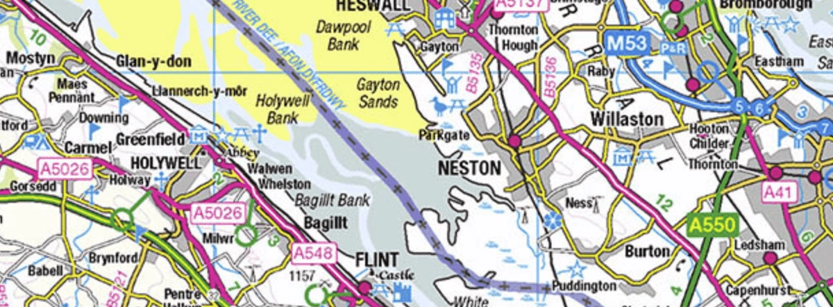
- Covers Great Britain
- Available in Raster
- Formats: TIFF-LZW
- Latest update: June 2021
Boundary-Line™
All administrative boundaries and boundary lines in detail.
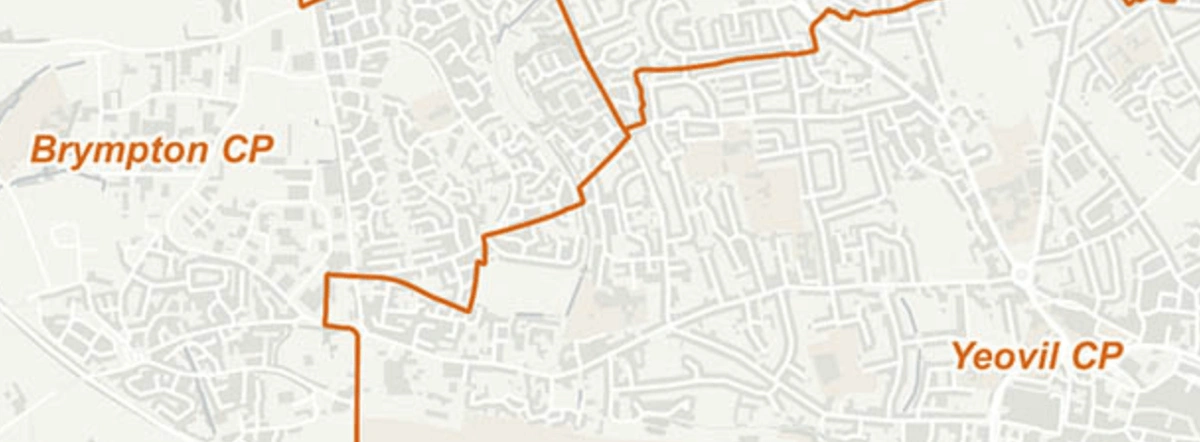
- Covers Great Britain
- Available in Vector
- Formats: ESRI® Shapefile, GML, GeoPackage, MapInfo® TAB, Vector Tiles
- Latest update: October 2021
Code-Point® Open
Accessible data searched by postcode.
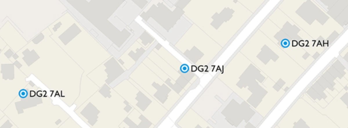
- Covers Great Britain
- Available in Vector
- Formats: CSV, GeoPackage
- Latest update: November 2021
GB Overview Maps
An overview map covering Great Britain including the British Isles.
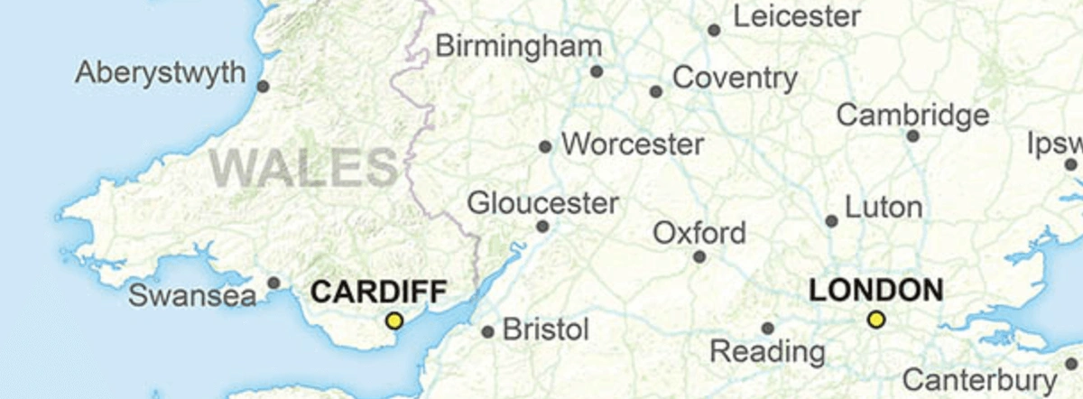
- Covers Great Britain
- Available in Raster
- Formats: GeoTIFF
- Latest update: November 2014
OS Open Linked Identifiers
A combination of different OS data products.
- Covers Great Britain
- Available in Identifier
- Formats: CSV
- Latest update: November 2021
Mini Scale
A simplified overview map of Great Britain.
- Covers Great Britain
- Available in Raster
- Formats: EPS, Illustrator, TIFF
- Latest update: January 2021
OS Open Greenspace
Shows greenspaces such as playing fields, sport facilities, play areas & allotments in urban and rural areas.
- Covers Great Britain with the option to view a custom area
- Available in Vector
- Formats: ESRI® Shapefile, GML, GeoPackage, Vector Tiles
- Latest update: October 2021
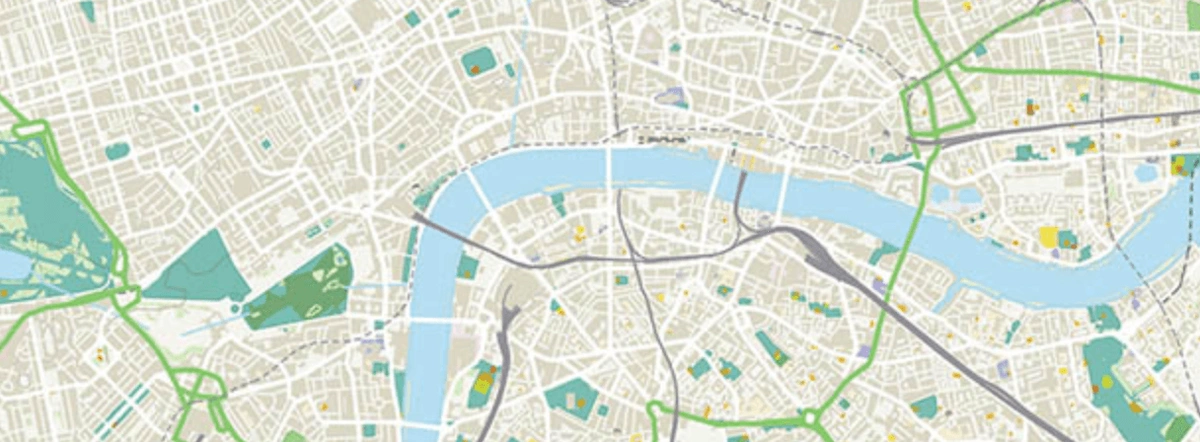
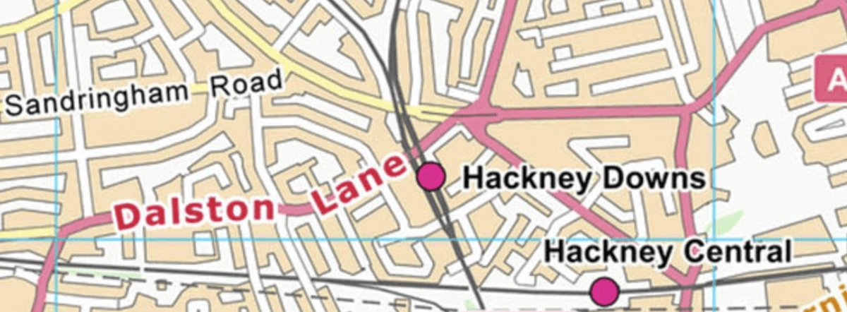
OS OpenMap Local
Street level mapping.
- Covers Great Britain with the option to view a custom area
- Available in Vector & Raster
- ESRI® Shapefile, GML, GeoPackage, GeoTIFF
- Latest update: October 2021
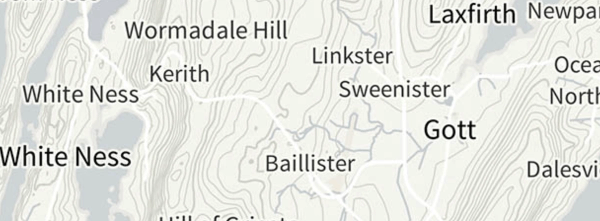
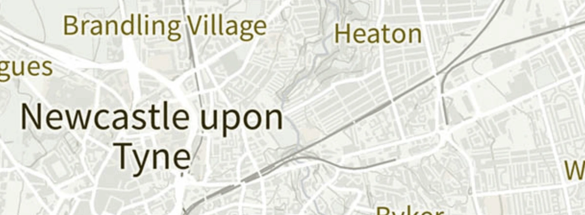
OS Open Names
Place names, roads, road numbers and postcodes of Great Britain.
- Covers Great Britain
- Available in Vector
- Formats: CSV, GML, GeoPackage
- Latest update: October 2021
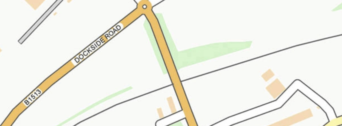
OS Vector Map District
District level maps.
- Covers the whole of the UK with the option to view a custom area
- Available in Raster & Vector
- Formats: ESRI® Shapefile, GML, GeoPackage, GeoTIFF
- Latest update: November 2021
The list of free OS maps gets updated regularly and you can access the rest of them through this link: Free OS maps