Free to view MasterMap®
Download in a few minutes
Save up to 40% vs. other suppliers


CAD Plans are digital mapping files supplied in CAD-compatible formats such as DWG and DXF. They give architects, surveyors, planners and engineers a detailed base plan that can be opened directly in professional design software.
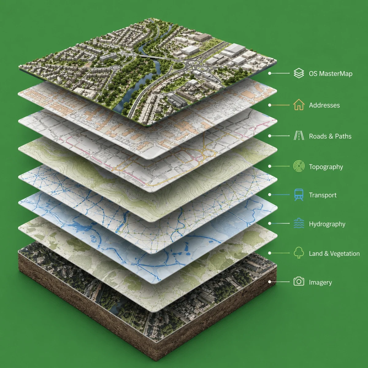
MapServe CAD Plans are based on OS MasterMap®, Ordnance Survey’s most detailed large-scale mapping dataset. They can be used for planning drawings, feasibility work, site analysis, measured survey context, land referencing and design overlays.

| Sector | Need | Why it's used | Typical format |
|---|---|---|---|
| Architecture | CAD base mapping | Start design work with accurate site context | DWG, DXF |
| Surveying | Site reference mapping | Compare mapping with measured survey data | DWG, DXF |
| Planning | Application drawings | Support site plans, block plans and design overlays | DWG, DXF |
| Engineering | Site constraints | Review roads, boundaries, buildings and access | DWG, DXF |
| Development | Feasibility | Understand site layout before detailed design | DWG, DXF |
| Map product | Best used for | Key limitations |
|---|---|---|
| CAD Plans (DWG / DXF) | Ready-to-use base plans for architectural design, planning and CAD workflows | Does not include verified site measurements or construction-level accuracy |
| Measured topographic survey | Accurate site levels and physical features for construction and setting out | Requires on-site survey work and is typically more expensive |
| PDF / image-based plans | Quick reference and visual context | Not editable or suitable for CAD design workflows |
| Aerial photography | Visual site context and surrounding features | Does not provide structured, measurable or CAD-ready data |
CAD Plans should not be used as a substitute for a measured topographic survey where precise, site-specific accuracy is required. While CAD mapping provides a reliable and structured base for design work, it does not verify exact ground levels or the true position of physical features on site.
For projects involving construction, setting out or detailed design, a measured survey is needed to confirm critical elements such as levels, kerb lines, drainage infrastructure, tree positions, walls and other site constraints.
CAD Plans should also not be relied upon for legal or boundary definition purposes. They do not determine ownership, legal extents or rights, and must not be used in place of title plans, Land Registry documents or formal boundary surveys where legal clarity is required.
| Attribute | Description |
|---|---|
| Formats | DWG, DXF |
| Base mapping | OS MasterMap® |
| Price | From £16.14 |
| Optional layers | 1m contours, freehold boundaries, building heights, National Tree Map™ |
| Projection | OSGB36 / British National Grid |
| Delivery | Within seconds of ordering |
| Best used for | CAD, planning, site analysis, design and feasibility |
| Compatibility | Suitable for AutoCAD and other CAD and GIS software |
CAD Plans are digital mapping files supplied in DWG or DXF format for use in CAD software.
CAD Plans are available from MapServe from £16.14.
Yes. CAD Plans based on OS MasterMap® are commonly used to prepare planning drawings and site plans.
DWG and DXF files can be opened in CAD software such as AutoCAD, Vectorworks, Revit-compatible workflows and other CAD viewers.
Yes. You can add options such as 1m contours, freehold boundaries, building heights and National Tree Map™.
CAD Plans are used as a base for architectural design, planning drawings and site analysis. They provide structured, editable mapping that can be used directly within CAD software such as AutoCAD.
Yes. CAD Plans can be supplied with additional layers such as contours, building heights or other datasets, depending on project requirements.
CAD Plans can be used for early-stage design and layout, but for construction or setting out, a measured topographic survey is usually required to confirm site-specific accuracy.
Yes. CAD Plans supplied by MapServe are derived from OS MasterMap® data, ensuring accurate and reliable mapping for professional use.


