
This blog post explains how CAD site plans help architects, surveyors and planning consultants save time, reduce manual tracing and create editable base drawings for planning, feasibility and early design work.
15 May 2026
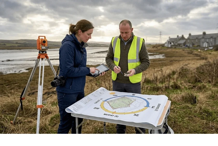
A professional UK site analysis uses accurate mapping data to identify constraints, reduce redesign risk, and support faster, more reliable planning decisions for architects.
22 Apr 2026

Explore how AI tools like Qbiq, Hypar, and Spacemaker are revolutionising architecture with smarter, sustainable, and collaborative design solutions.
02 Jan 2025
Explore how digital maps are transforming urban planning and architecture in the UK, offering smarter, more sustainable design solutions.
17 Sep 2024

9 key best practices for using CAD maps in professional settings, helping surveyors and architects ensure accuracy and compliance with industry standards.
21 Aug 2024

Landscape architects rely on Ordnance Survey maps to provide key insights for useful and balanced designs.
02 Jan 2024

An case study explaining how MapServe® facilitates an architecture studio in generating feasibility and massing studies without the requirement for a measured survey.
22 Dec 2023
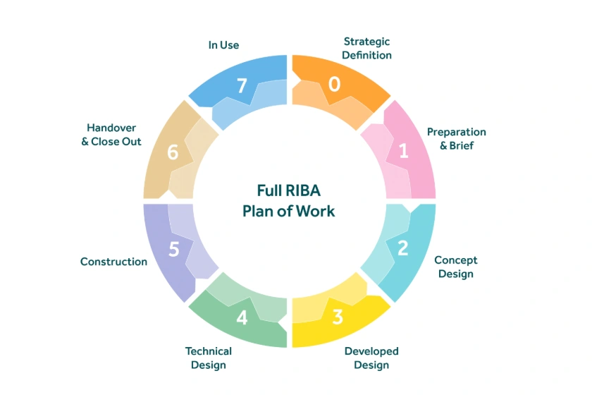
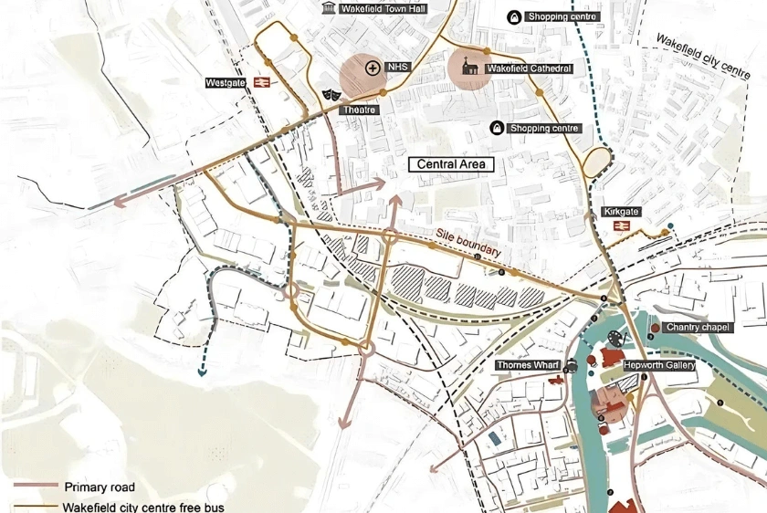
How maps are used at every stage of the RIBA Plan of Works, aiding in design formulation, local authorities' submissions, and the preparation of reports on site safety, sustainability, and maintenance.
13 Dec 2023

A case study showcasing how MapServe® supported a Welsh architect in the development of site plans & feasibility studies.
27 Nov 2023