Explore why professionals in property development, environmental consulting & other industries rely on Ordnance Survey's MasterMap® rather than free mapping alternatives for up-to-date data.
21 Nov 2024

Ordnance Survey's Enhanced Land Cover Mapping delivers precise geospatial data to support biodiversity, natural capital, and sustainable development goals.
18 Nov 2024

Provide your valuable insights through our MapServe® Customer Feedback Survey to help us enhance our digital mapping solutions and better serve your needs.
07 Nov 2024
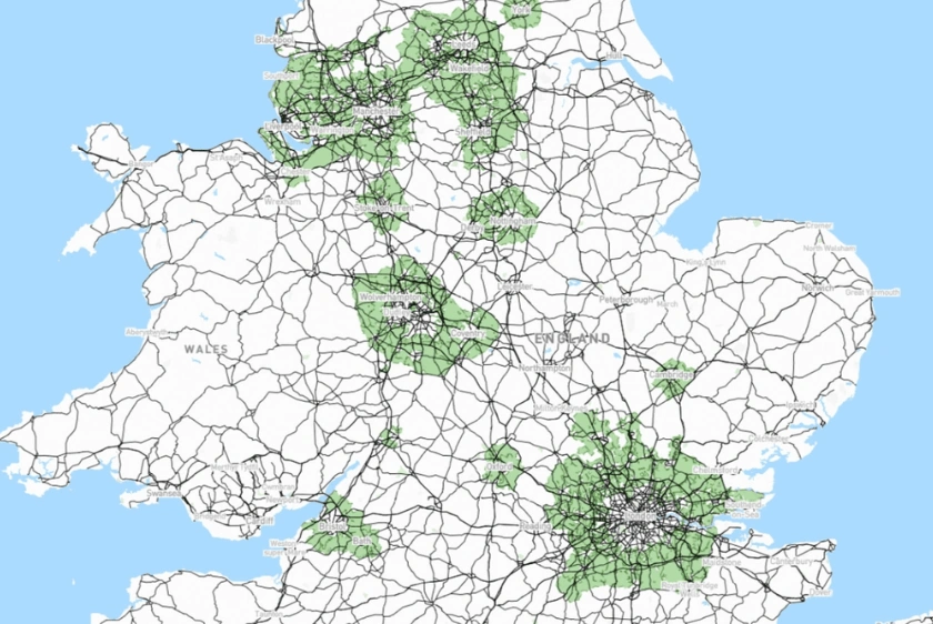
Green Belt misconceptions, the potential of Grey Belt redevelopment & their roles in UK housing solutions.
16 Oct 2024

Labour introduces bold planning reforms, aiming to build 1.5 million homes and address the UK’s housing crisis through streamlined processes and new policies.
11 Oct 2024
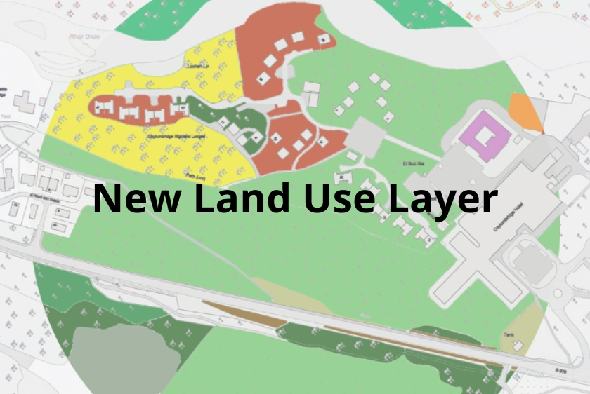
Discover how our new Land Use layer in CAD format enhances OS MasterMap® by providing detailed UK land utilisation data for a wide range of professional applications.
27 Sep 2024
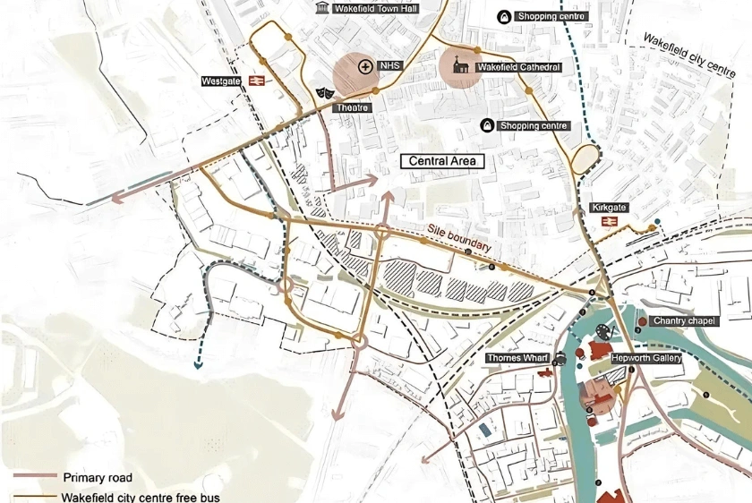
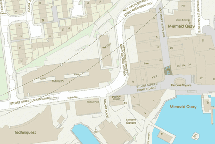
Explore how digital maps are transforming urban planning and architecture in the UK, offering smarter, more sustainable design solutions.
17 Sep 2024

UPRNs streamline property identification, benefiting urban planning, real estate, emergency services & fibre broadband infrastructure.
11 Sep 2024

Learn about swept path analysis, its importance in planning projects & how MapServe® can provide expert analysis to ensure safe and compliant designs.
04 Sep 2024