
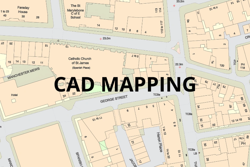
A practical guide to using Ordnance Survey digital mapping correctly in AutoCAD for compliant UK planning and design work.
25 Mar 2026
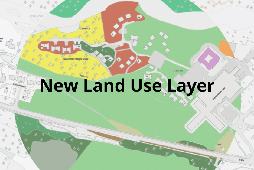
Discover how our new Land Use layer in CAD format enhances OS MasterMap® by providing detailed UK land utilisation data for a wide range of professional applications.
27 Sep 2024

Learn how the new Field Boundary layer in OS MasterMap® enhances accuracy and detail for building, planning, architecture and surveying projects.
22 Aug 2024

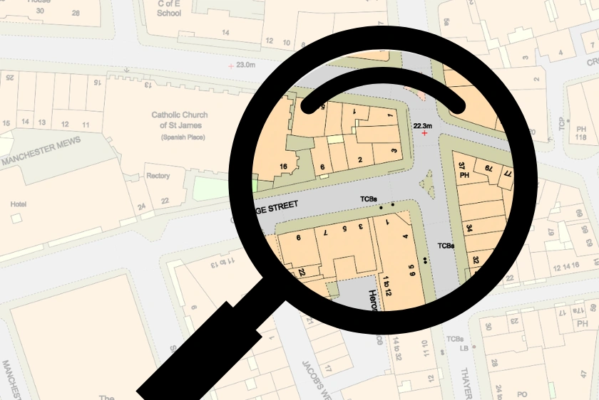
9 key best practices for using CAD maps in professional settings, helping surveyors and architects ensure accuracy and compliance with industry standards.
21 Aug 2024

Explores the top 8 industries that rely on CAD maps, highlighting how they enhance precision, efficiency and innovation across various sectors.
20 Aug 2024
This blog post outlines the top 7 essential features to look for in professional CAD maps, including detailed topography, customisable layers and high-resolution data, to enhance design accuracy and efficiency.
20 Aug 2024
Free tools like CAD Mapper and OpenStreetMap offer UK CAD maps with limitations; MapServe® provides detailed professional maps.
20 Jun 2024
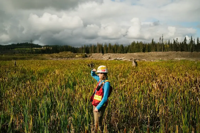
CAD maps have transformed environmental science, improving efficiency, data management, risk assessment, and advocacy for researchers.
12 Oct 2023

The use of CAD mapping transforms interior design in the United Kingdom, increasing accuracy and productivity while allowing for the production of elaborate and inventive ideas.
06 Oct 2023