Outdoor event design and execution require rigorous attention to detail, from logistics and scheduling to safety issues. Ordnance Survey mapping has proven to be a helpful tool for event organisers in this regard, offering extensive and accurate geographic information that aids in both safety assurance and efficient preparation. In this post, we will look at the several advantages of using Ordnance Survey mapping for outdoor events, emphasising its role in improving safety standards and supporting optimal event management.
Download professional Ordnance Survey maps here
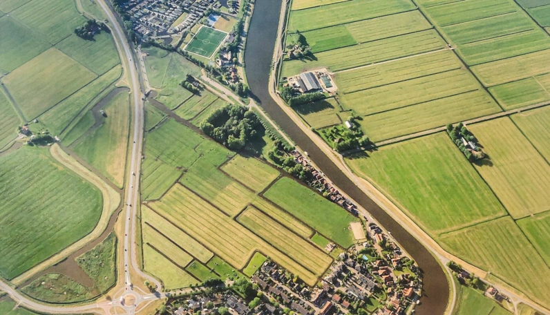
The Power of Accurate Geospatial Information
Ordnance Survey (OS) mapping, is the national mapping organisation of the UK with a rich history dating back to 1791 and has become synonymous with accurate and dependable geospatial data. OS mapping gives event planners up-to-date and detailed information about the event location's geography, infrastructure, topography, and land use. This level of detail is critical in ensuring a safe environment for both participants and staff by reducing potential dangers and risks connected with unfamiliar surroundings.
Terrain Analysis for Safe Event Layouts
Before organising an outdoor event, organisers must have a comprehensive understanding of the area. OS mapping depicts elevation changes, water bodies, vegetation, and potential obstructions in great detail. This information is critical for planning safe event layouts that place stages, stalls, and gathering spaces on stable ground. Event planners can address challenges such as uneven ground or flood-prone zones by identifying potential problem spots.
Infrastructure Insights for Effective Planning
Ordnance Survey mapping reveals existing infrastructure such as roads, footpaths, bridges, and access points. This information helps event organisers plan traffic flow and optimise transit routes for attendees and emergency services. Furthermore, it aids in identifying regions where infrastructure changes may be required to accommodate huge numbers. This proactive strategy improves overall event efficiency while minimising interruptions to local residents.
Tailoring Safety Protocols with Precision
When organising outdoor events, safety is crucial, and OS mapping enables event planners to adopt robust safety standards that fit with the specific characteristics of the event location.
Emergency Evacuation Plans
A well-defined evacuation strategy is critical in the event of an emergency, such as severe weather or unforeseen catastrophes. Event organisers can use Ordnance Survey mapping to locate safe assembly sites, escape routes, and adjacent facilities such as medical centres and emergency shelters. Planners can create evacuation routes that maximise guest safety while minimising confusion by leveraging reliable geospatial data.
Risk Assessment and Mitigation
Thorough risk assessment is essential for event preparation. OS mapping aids in the identification of potential hazards such as steep inclines, unstable ground, or densely wooded areas that may provide fire concerns. With this knowledge, organisers may strategically place security staff, first aid stations, and fire control systems, providing a proactive approach to risk mitigation.
You can read more about Health and Safety in event planning here.

Enhancing Event Experience and Accessibility
Ordnance Survey mapping not only enhances safety but also contributes to a more enjoyable and accessible event experience for all attendees.
Accessible Design and Inclusion
With accurate mapping data, event organisers can develop layouts that accommodate disabled attendees. To guarantee equal access for all, information concerning accessible routes, ramps, and seating spots can be included. By thinking about accessibility ahead of time, events become more inclusive and welcoming, creating a positive environment for people of various backgrounds and abilities.
Location-based Services for Attendees
Technology is frequently used to enhance the audience experience at modern outdoor events. OS mapping can be included in event apps or platforms to provide location-based services such as directing guests to specific points of interest, stages, food vendors, and bathrooms. This simplifies event navigation and reduces confusion, resulting in increased attendance satisfaction.

Within the field of outdoor event planning, safety and efficiency are unquestionably important factors that determine the success of any gathering. The clarity, accuracy, and breadth of geospatial data provided by Ordnance Survey mapping make it an indispensable tool for event planners. Event organisers may build arrangements that prioritise safety, implement effective emergency protocols, and assure a faultless experience for all participants by strategically utilising OS mapping. As outdoor events become more sophisticated and large in scale, the use of Ordnance Survey mapping demonstrates the power of advanced technology in organising both spectacular and secure gatherings.