Land surveying is an important profession that is essential in land development, building, and many civil engineering projects. Land surveyors use a variety of modern equipment and technology to make precise and accurate maps of land, such as topographic and border maps. CAD software, for example, has revolutionised the sector by making map development more exact and efficient. In this post, we'll look at how land surveyors use CAD maps to create precise land maps while keeping things simple and easy.
Download detailed, professional CAD maps here
The significance of land surveys
Before digging into the role of CAD in land surveying, it's important to understand why land surveys are necessary in the first place. Land surveys serve various important functions:
- Land surveys create unambiguous property borders, preventing conflicts and ensuring that landowners are aware of the size of their estates.
- Land Development: Accurate surveys are required for land planning and development for a variety of uses, including residential, commercial, and industrial use.
- Civil engineers and urban planners use land surveys to build infrastructure projects such as roads, bridges, and utilities.
- Environmental Conservation: Topographic surveys aid in determining the ecological worth of a landscape and aid in the preservation of natural resources.
- Legal Requirements: Land surveys are frequently required by law for property purchases, border disputes, and construction permits.
The role of CAD in land surveying
Computer-Aided Design (CAD) technology has transformed land surveying by making it easier to create precise maps. Land surveyors can use CAD software to precisely digitise and modify survey data, increasing the accuracy and efficiency of their work.
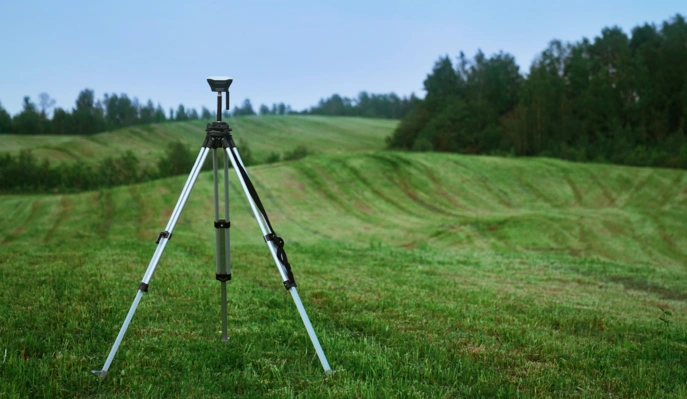
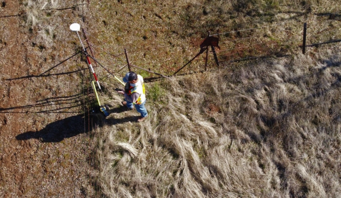
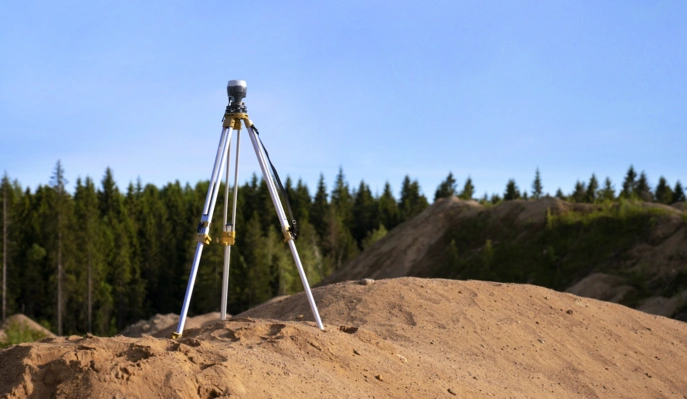
Land surveyors begin by gathering field data with modern devices such as Total Stations and Global Positioning Systems (GPS). These gadgets measure distances, angles, and altitudes precisely. Once field data has been acquired, surveyors can import and process it using CAD software. This stage entails organising the data and removing any errors or contradictions. Surveyors can use CAD software to make precise maps that accurately portray the surveyed region. It enables them to represent actual objects by drawing lines, curves, and polygons. Surveyors can also use CAD software to construct contour lines that indicate elevation changes over the surveyed region for topographic mapping. This data is essential for engineering and construction projects.Lastly CAD maps are useful in defining unambiguous property borders. Surveyors can use the programme to construct precise boundary lines with all required measurements and angles.
Benefits of CAD Maps in land surveying
The use of CAD technology in land surveying has various benefits:
- Precision: CAD software assures high levels of precision in map generation, lowering the chance of errors that could result in costly construction setbacks or legal challenges.
- Efficiency: Because CAD automates many components of map construction, the time and effort necessary to create detailed maps is considerably reduced.
- Surveyors can quickly make updates or amendments to CAD maps in order to accommodate changes in project requirements or fresh survey data.
- CAD maps serve as digital records that may be conveniently kept, retrieved, and shared online, removing the need for physical documentation.
- Collaboration: CAD maps make it easier for architects, engineers, and landowners to work together on land development and building projects.
- Visualisation: 3D models and visual representations of land can be created using CAD software, allowing stakeholders to better comprehend project proposals and outcomes.
Challenges in CAD-Based Land Surveying
CAD technology has undeniably improved land surveying procedures, but it also introduces new obstacles. These include a learning curve, rigorous training, and competency, all of which might take time for surveyors unfamiliar with the technology. Furthermore, the initial expenditure, which includes the purchase of CAD software and related hardware, can be financially difficult for smaller surveying organisations. Ensure seamless integration of field data received in diverse formats from different instruments into CAD systems is a challenging operation, and CAD systems, like any software, require constant upgrades and maintenance to maintain functionality and security.
In conclusion, the incorporation of Computer-Aided Design (CAD) technology into land surveying has revolutionised the creation of land maps. Surveyors now have access to precise, efficient, and adaptable equipment that increase their work accuracy and collaboration with other professionals in the field. Property boundary determination, topographic mapping, and numerous land development projects all rely on CAD maps. While there are certain drawbacks to using CAD, the benefits significantly exceed the drawbacks, making it an invaluable tool for modern land surveyors throughout the United Kingdom and beyond.


