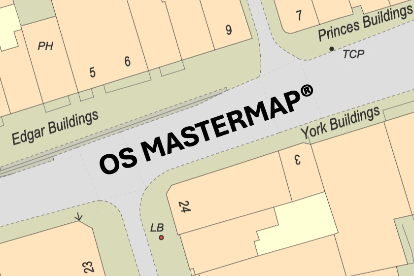
Dive into the intricate world of OS MasterMap®, the ultimate mapping solution for the United Kingdom. Learn how its precision and coverage transform spatial data analysis in a variety of sectors.
22 Mar 2024
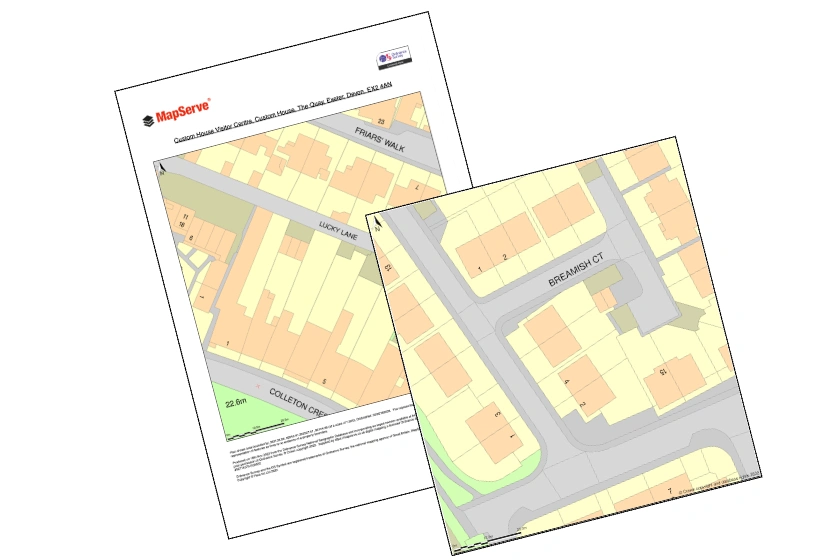
Learn how to effortlessly export your mapping projects into PDF and PNG formats within just 2 minutes. Streamline your workflow and save time with this easy-to-follow tutorial.
22 Mar 2024

The evolution and transformative impact of digital mapping technology on the building industry, highlighting its role in enhancing design, construction, user experiences, and community engagement.
14 Mar 2024

Dive into the world of cartography and geospatial data with concise explanations of key concepts and mapping terms.
05 Mar 2024
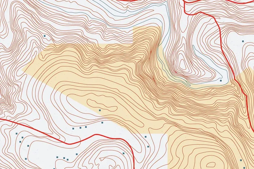
Explore the pivotal role of topographical maps in architectural site analysis, facilitating informed decision-making and efficient design solutions.
04 Mar 2024
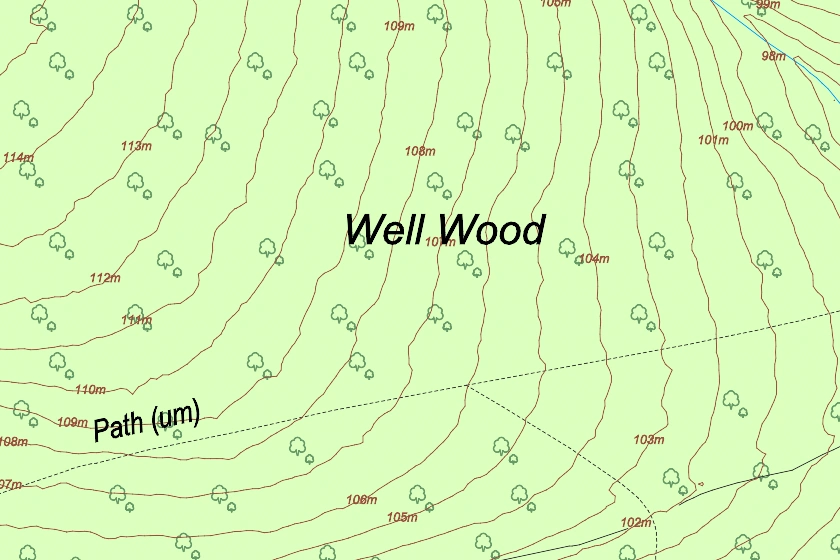
Discover how topographical mapping helps architects, surveyors & planners optimise their designs by using precise data and sustainable techniques that harmonise with the natural environment while improving safety and cost-effectiveness projects.
27 Feb 2024
Dive into our comprehensive guide exploring the intricacies and practical applications of topography maps tailored for architects and building professionals.
20 Feb 2024

Landscape architects rely on Ordnance Survey maps to provide key insights for useful and balanced designs.
02 Jan 2024

An case study explaining how MapServe® facilitates an architecture studio in generating feasibility and massing studies without the requirement for a measured survey.
22 Dec 2023