Why OS maps Stand Out
-
Accuracy and Reliability: OS maps are created using advanced surveying techniques such as aerial photography, laser scanning, and on-the-ground fieldwork. This ensures the maps are regularly updated and highly accurate.
-
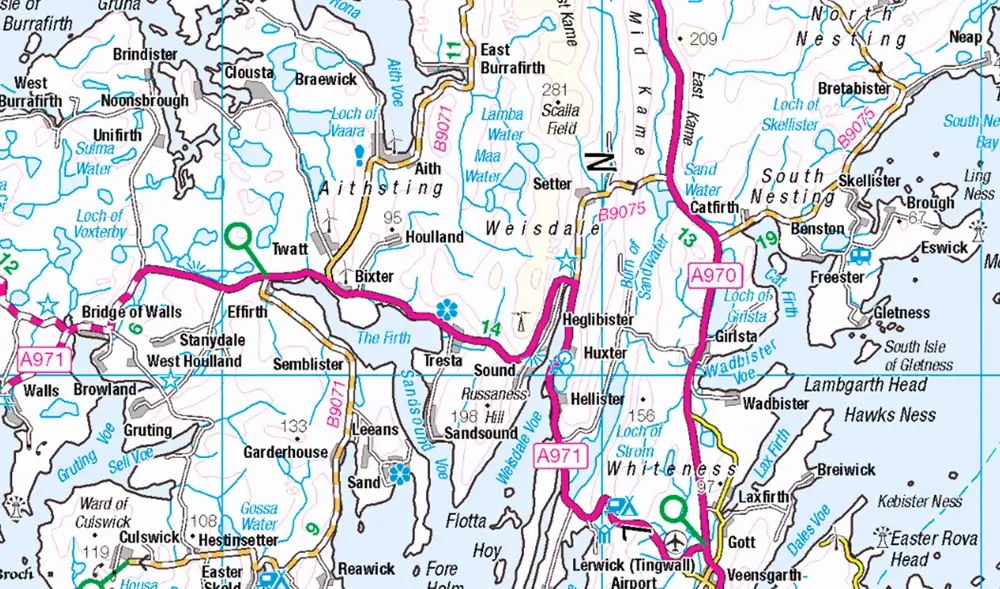
Detailed Topography: They depict features like footpaths, bridleways, woodlands, rivers, and urban landmarks, making them essential for outdoor enthusiasts, professionals, and adventurers. Whether you are navigating rugged terrain or the streets of a busy city, OS maps provide a clear understanding of the environment.
-
Scalability: OS maps are available in different scales, catering to various needs:
- 1:1250 or 1:2500: Best for urban planning and land management.
- 1:25,000 or 1:50,000: Popular among hikers, cyclists, and other outdoor explorers for clear terrain and landmark information.
- 1:250,000: Suitable for road users or long-distance navigation.
-
Versatile Formats: Today, OS maps come in both paper and digital formats. Digital versions offer convenience, available through apps and websites, providing real-time navigation on smartphones and tablets. Paper maps, on the other hand, are still widely appreciated for their reliability in remote areas without signal.
-
Advanced Tools and Features: For more technical users, such as urban planners, engineers, and developers, OS MasterMap offers the finest detail, such as building outlines, heights, and road network data. These datasets are often integrated with GIS (Geographic Information Systems) for analysis in large-scale projects, infrastructure development, or emergency response planning.
OS maps for Professionals
OS maps are not just for leisure. Local authorities, land surveyors, and developers rely on these maps to plan infrastructure, manage land, and assess environmental impact. The accuracy of OS MasterMap is particularly useful in construction, town planning, and real estate, where precise boundaries and property information are critical. Moreover, emergency services utilise OS maps to provide quick, reliable information on access points, property outlines, and hazard zones.
OS maps in Environmental and Scientific Research
Environmental researchers use OS maps for studying natural landscapes, biodiversity, and land-use changes. They assist in mapping habitats, monitoring deforestation, and planning conservation projects. With modern digital tools, OS maps are integrated into geographic databases to track climate change impacts and land use over time, offering valuable insights for sustainability projects.
Exploring with OS maps: Enhancing Outdoor Adventures
For outdoor enthusiasts, OS maps are essential for planning routes and ensuring safety. Hikers use 1:25,000 scale maps for details on terrain and elevation, helping them plan routes, gauge difficulty, and avoid hazards. The inclusion of public rights of way, campsites, and natural features makes these maps perfect for a safe and enjoyable experience.
Moreover, the OS maps app allows users to download offline maps, track their progress using GPS, and even discover new walking routes or cycling trails. These features make OS maps a must-have for anyone looking to explore the UK's rich and diverse landscapes.
Digital Transformation of OS maps
With the growing demand for digital navigation tools, OS has adapted its maps to the digital age. Digital maps, accessible via apps and online platforms, offer live updates and the ability to customise data layers, making them highly interactive. Features such as real-time traffic data and satellite overlays enhance the user experience, providing a seamless blend of traditional cartography with modern technology.
OS maps, whether in traditional paper format or advanced digital versions, continue to be an indispensable tool for navigators, adventurers and professionals alike. Their unparalleled accuracy, detail, and versatility make them suitable for a broad spectrum of users, from outdoor enthusiasts to urban planners and environmental scientists. With the ongoing digital evolution, OS maps remain a key resource in ensuring that individuals and organisations can navigate and manage the UK’s landscapes efficiently and effectively.
Whether you’re planning a weekend hike, managing a construction project, or conducting environmental research, OS maps provide the foundation for informed decision-making and successful navigation.