What exactly are OS maps?
OS maps are maps produced by the national mapping agency of Great Britain, the Ordnance Survey. OS maps are widely used for a variety of purposes, including outdoor recreation, planning, and navigation.
OS maps are known for their high level of detail and accuracy, and they cover all of Great Britain, including both rural and urban areas. The maps are available in a variety of scales, from large-scale maps that show a high level of detail for small areas to small-scale maps that cover large areas of the country.
They are typically updated regularly and are available in both digital and paper formats. The digital maps are available through the Ordnance Survey website and can be accessed through official suppliers such as MapServe® or different apps, including the OS maps app. Paper maps are available in a variety of sizes and styles, including folded maps and wall maps.
Download Ordnance Survey maps here

Why are OS maps useful?
Ordnance Survey (OS) maps are considered useful for a variety of reasons, including:
-
Outdoor recreation: OS maps are an essential tool for anyone who enjoys outdoor activities such as hiking, cycling, and horse riding. They provide detailed and accurate information on the landscape, including the location of footpaths, bridleways, and public rights of way, making it easier to plan and follow routes.
-
Navigation: OS maps are widely used for navigation, both on and off-road. They provide accurate information on the location of roads, footpaths, and other features, making it easier to find your way around and stay on track.
-
Planning: OS maps are used by many organizations, including local authorities and utility companies, for planning purposes. The maps provide detailed information on the landscape, including the location of buildings, roads, and other infrastructure, making it easier to plan and develop new projects.
-
Geographical information: OS maps provide a wealth of geographical information, including the location of hills, rivers, and other natural features. This information is valuable for a variety of purposes, including environmental planning and academic research.
-
Historical information: OS maps are a valuable source of historical information, as they have been produced for over 200 years. By comparing older and newer maps, it is possible to see how the landscape has changed over time, providing valuable insights into the history of an area.
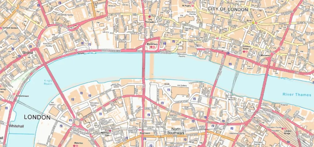
OS OpenMap Local sample
Why are OS maps considered so important for the UK?
Ordnance Survey (OS) maps are considered important for the United Kingdom (UK) for a number of reasons:
-
National mapping agency: The Ordnance Survey is the national mapping agency of Great Britain, responsible for producing and maintaining detailed and accurate maps of the country. As such, OS maps are considered an essential resource for the UK, providing a comprehensive and up-to-date picture of the country's geography.
-
Detailed and accurate information: OS maps are known for their high level of detail and accuracy, providing valuable information on the landscape, including the location of roads, buildings, and other infrastructure. This information is essential for a variety of purposes, including navigation, planning, and environmental management.
-
Support for outdoor recreation: OS maps play an important role in supporting outdoor recreation in the UK, providing detailed and accurate information on footpaths, bridleways, and other public rights of way. This information is essential for anyone who enjoys outdoor activities such as hiking, cycling, and horse riding.
-
Historical value: OS maps are a valuable source of historical information, offering insights into how the terrain of the UK has altered throughout time. It is possible to examine how the country has developed and evolved by comparing older and newer maps.