

Use MapServe® roof layers plus OS MasterMap® to quantify dormers and loft conversions, screen them against PD rules, and evidence breaches early under England’s 10-year enforcement regime.
01 Oct 2025

Architect Ben Liddle of EDGE AD uses MapServe®’s Roof Layer, powered by Ordnance Survey data, to speed up early design work.
24 Sep 2025
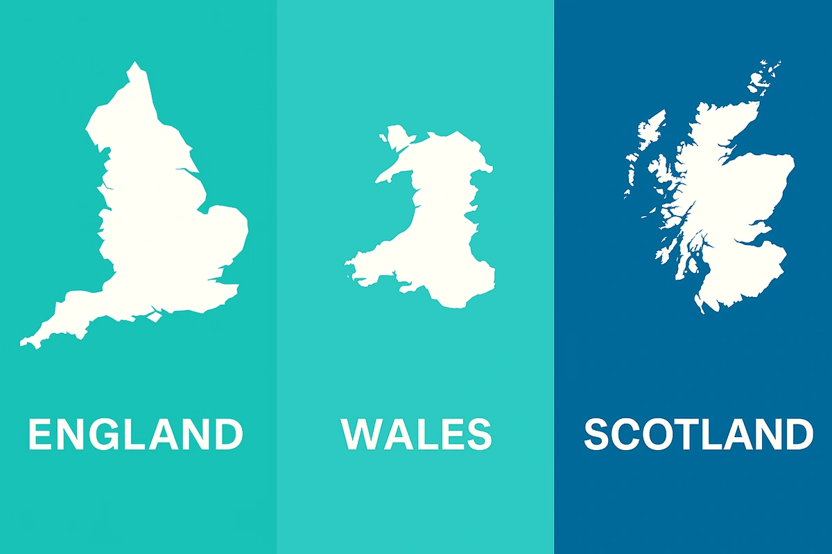
Planning map requirements in 2025 differ between England, Wales and Scotland, especially in flood data, boundaries, and digital submission standards.
18 Sep 2025
The National Land Data Programme is digitising planning policy—MapServe® helps professionals visualise constraints, overlays, and boundaries at scale.
20 Aug 2025
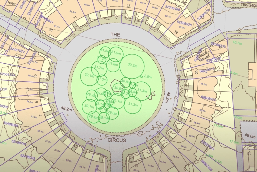
Ordnance Survey maps provide critical pre-visit data—heights, boundaries, and terrain—enabling better on-site decisions across planning disciplines.
13 Aug 2025

MapServe®’s new roof layer delivers authoritative roof material, geometry and orientation data to enhance UK building, planning, retrofit & risk workflows
06 Aug 2025
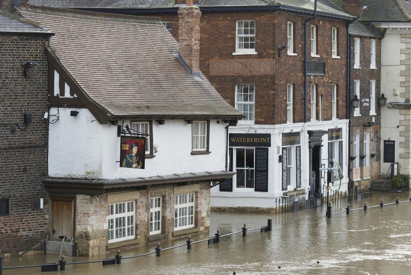
NaFRA2 flood risk maps have redefined planning risk zones across the UK—MapServe® helps developers adapt to the new reality.
24 Jul 2025

The Leasehold Reform Act 2024 has redrawn ownership lines & MapServe’s freehold boundary data helps developers & legal professionals navigate title complexity.
11 Jul 2025
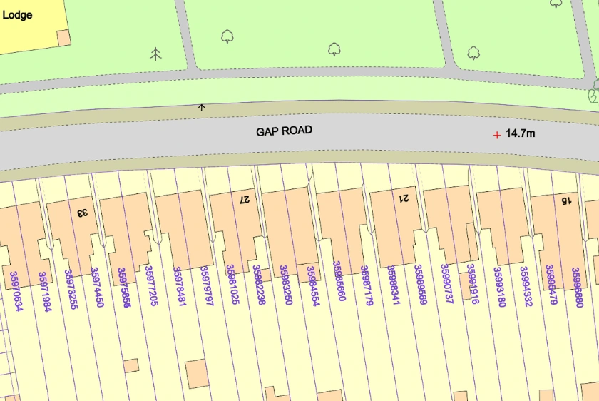
MapServe® freehold boundary maps help uncover ownership issues—like ransom strips, unclear access, and overlapping titles before submission, reducing the risk of costly planning refusals in 2025.
02 Jul 2025