
Getting the correct block plan scale (typically 1:200 or 1:500) and ensuring it remains accurate through CAD setup and PDF export is essential to avoid UK planning application rejection and delays.
27 Mar 2026

A practical guide to using Ordnance Survey digital mapping correctly in AutoCAD for compliant UK planning and design work.
25 Mar 2026

A Heritage Statement explains the significance of a heritage asset and assesses how proposed development may affect it, outlining how impacts will be managed in line with UK planning policy.
11 Mar 2026
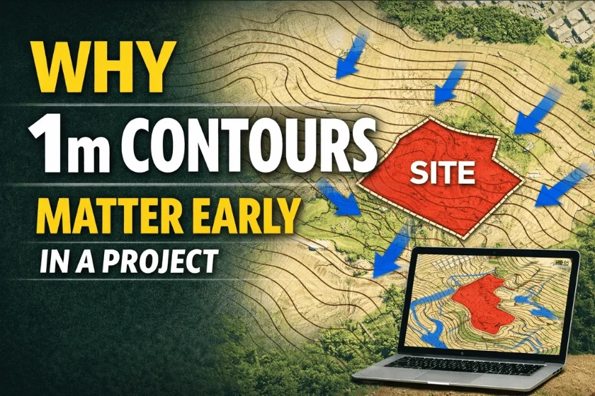
A practical guide to using 1 m contour data to de-risk drainage, access and earthworks decisions before detailed design.
11 Mar 2026
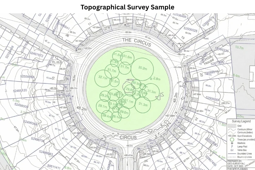
A guide explaining what a topographical survey AutoCAD (DWG) file should contain, common problems with survey drawings, and how architects use them for planning and design.
04 Mar 2026

This guide explains UK block plan requirements, common validation mistakes and how to produce a compliant CAD drawing for planning permission.
02 Mar 2026
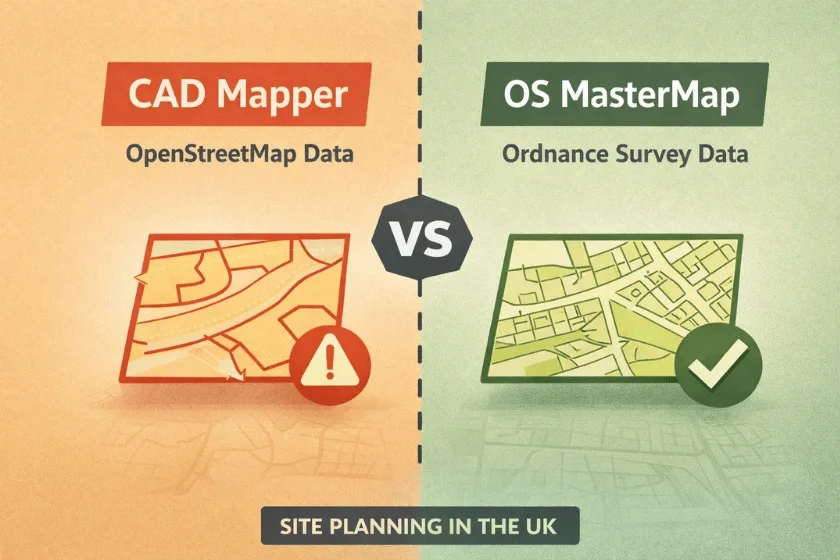
Comparing CAD Mapper and OS MasterMap® for UK planning? Learn the legal, accuracy and compliance differences before submitting drawings.
27 Feb 2026
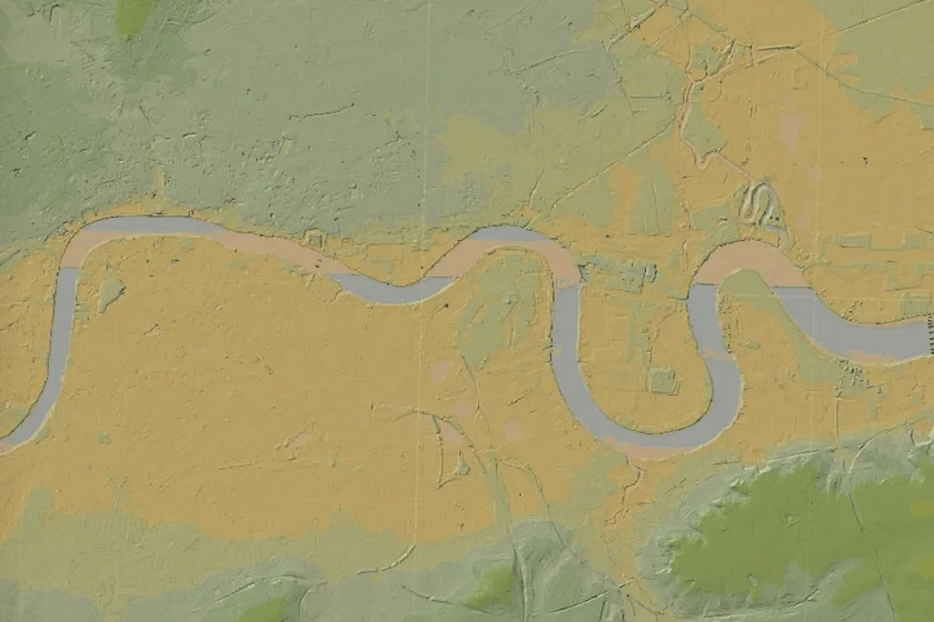
Digital OS maps are created and maintained by Ordnance Survey using ground surveys, aerial imagery and LiDAR within the National Geographic Database.
12 Feb 2026
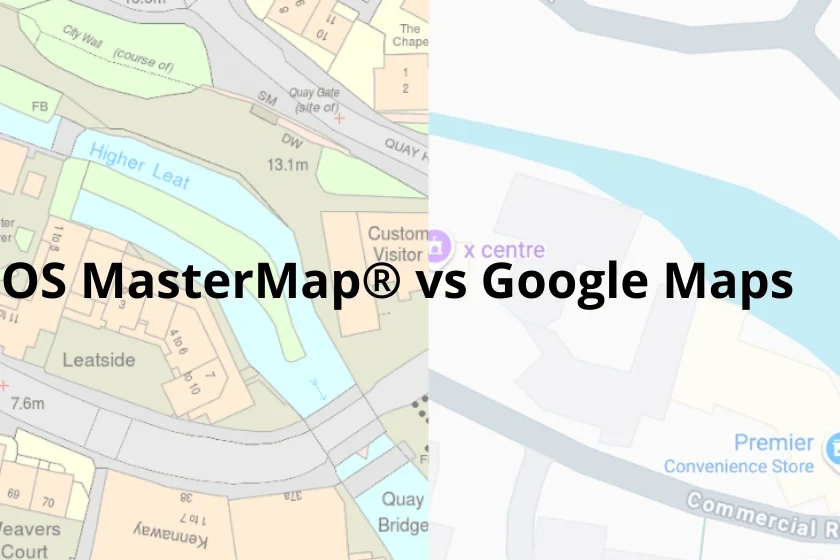
This comparison explains why MasterMap® is more accurate and suitable for planning than Google Maps and how professionals access it via MapServe®.
11 Feb 2026