
This guide explains why OS MasterMap® is better suited than Google Maps for professional planning, CAD and geospatial workflows.
13 May 2026

A clear guide to using historic OS mapping as robust supporting evidence in heritage statements and planning submissions.
08 May 2026

A guide explaining how to download licensed Ordnance Survey OS MasterMap® data in various formats for professional use in CAD, planning, and surveying, including steps, use cases, and licensing requirements.
06 May 2026

MapServe® VS other map providers
01 May 2026
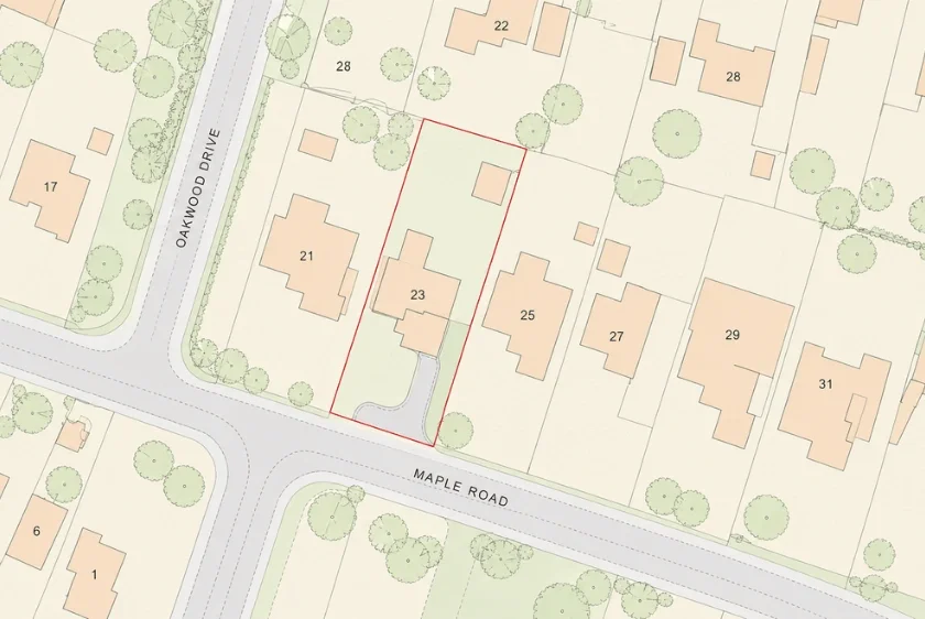
A “plot plan” in the UK usually refers to a site or block plan, and using the wrong type or scale is a common cause of planning delays.
28 Apr 2026

A professional UK site analysis uses accurate mapping data to identify constraints, reduce redesign risk, and support faster, more reliable planning decisions for architects.
22 Apr 2026
Free property boundary maps in the UK are useful for early research but are generally inaccurate, not to scale, and unsuitable for planning or legal purposes, meaning a compliant professional map is usually required.
14 Apr 2026

Choosing the correct site plan scale, and exporting it properly is essential to avoid validation rejection and secure faster UK planning approval.
07 Apr 2026

Free UK property boundary maps are useful for early research but lack the accuracy, scale, and compliance required for planning applications, making professional OS-based mapping essential.
31 Mar 2026