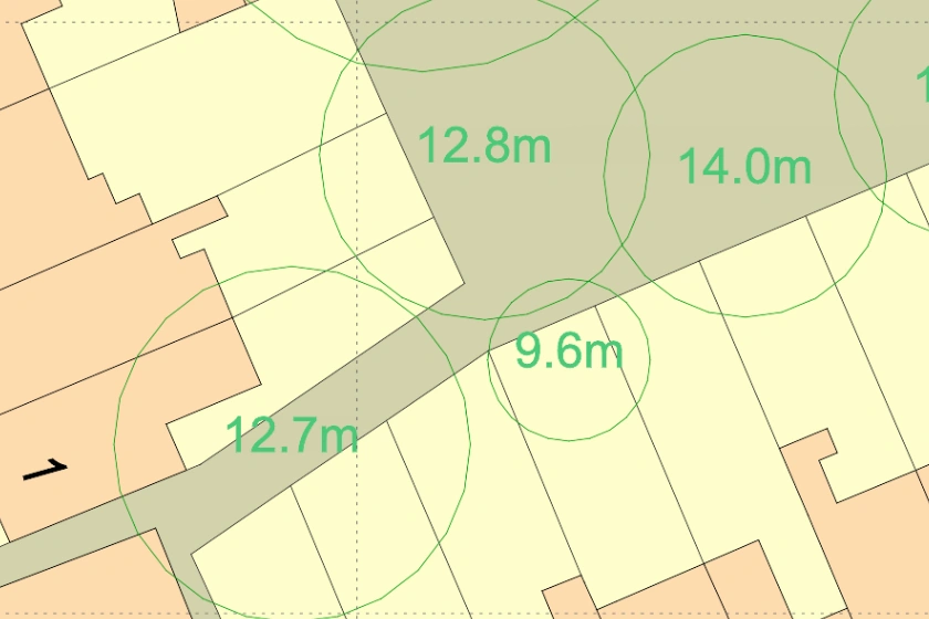
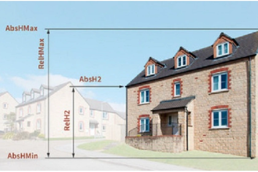
The most detailed dataset of location, height and canopy/crown extents for every single tree 3m and above in height, across England, Scotland and Wales.
13 Jan 2021
Learn what sets a good CAD map apart from a flawed one. This video outlines some common factors that make a map less effective.
13 Jan 2021
Steps on how to scale and export a map in AutoCAD.
13 Jan 2021
How to choose the right map and create an efficient workflow
13 Jan 2021
5 useful datasets that can be easily accessed online and lay a foundation of data before an on-site survey is conducted.
12 Jan 2021
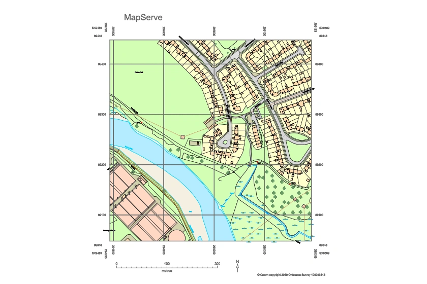
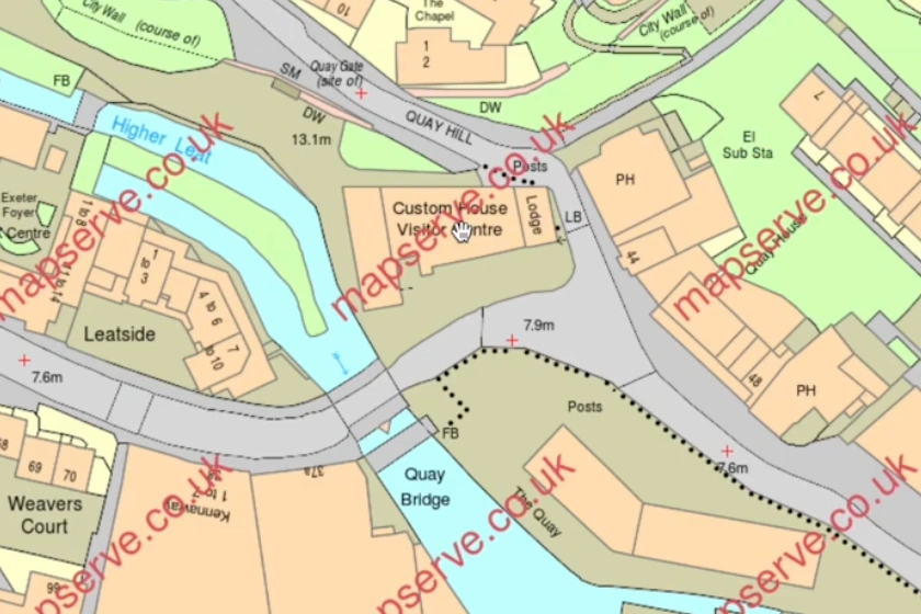
How to download and use OS MasterMap® quickly in four easy steps
12 Jan 2021
