Since 2010, Ordnance Survey has made part of its mapping data available under a free "OpenData" licence.
Ordnance Survey website
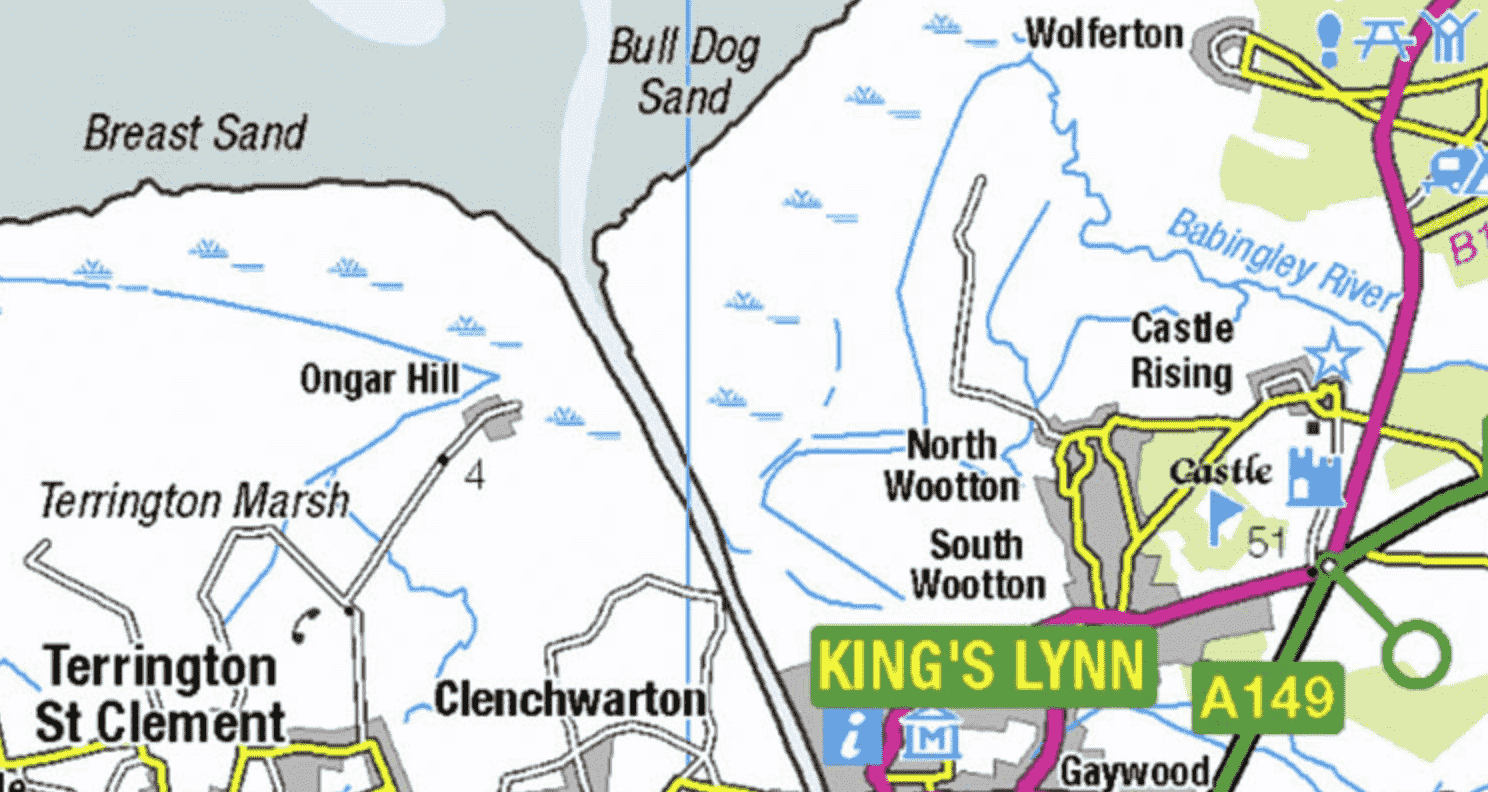
OS offers free and paid access to mapping material for the United Kingdom. You can access free OS mapping through their website or you can browse our blog post about the OS's free maps.
Several applications have been made available to assist OpenStreetMappers in making use of this data but before using them take a look at the following:
- Don't assume that the OS info is correct or up to date. Use it as a guide and supplement to your mapping, not as a substitute.
- You need to include alt tags to any data from OS OpenData that you submit to OSM such as #Attributins OS
- If you're tempted to map in a region you're unfamiliar with, first reach out to any local contributors and avoid copying other authors
- Look for locations that have been plotted using aerial data but lack road names
- Avoid merely copying operating system data in blank places.
View and download OS mapping here
1:250 000 Scale Colour Raster™
MapServe® website
OS MasterMap® can be previewed for free on our website after signing up for an account. Free previews are available with a 'pay-as-you-go' account and you get more when signing up to our professional account.
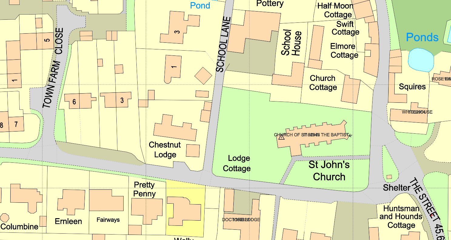
OS MasterMap® sample
National Library of Scotland website
The National Library of Scotland's website offers free views of historical mapping provided by the Ordnance Survey dating back to 1840. You can access their website here.
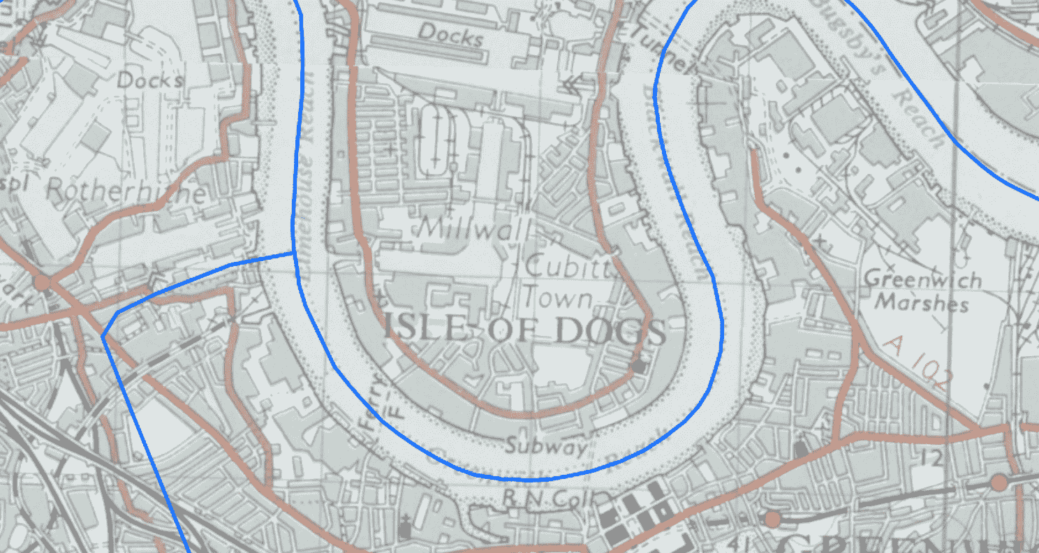
Isle of Dogs, London, 1950