What is a plot plan and how do I get it?
Plot plans (or 'block plans' or 'site plans') provide useful information such as the physical borders of the plot as well as the placement of structures, fences, and roadways. Formal plans also reflect any partial property easements granted to utility providers for wires or pipes, as well as rights of way granted to neighbours for usage, or to municipal or county governments for sidewalks or alleyways. The simplest method for obtaining a plot plan is through MapServe or any other official OS map provider.
Site plans are often drawn at a scale of 1:500 or 1:200, depending on the size of the project. Greater scales, on the other hand, can be used for extremely small developments, and for huge projects, smaller scales, or even multiple drawings, can be integrated on a single very small scale design.
Download your plot plan quickly here
Why do I need a plot plan from a certified provider?
All permit and zoning applications submitted to local planning bodies are normally required to provide plot drawings to identify the locations of buildings and structures on the site in a professional manner. They can be used during zoning evaluations or as part of the construction permit review process to check that there are no issues with building codes before issuing a planning license. Plot layouts are often utilised to assist in the design of landscaping or hardscaping.
Plot plans may be prepared by surveyors, architects, engineers, or homeowners, depending on the intricacy of the project. Plot plans that are already in existence can be accessed at the local land records office. If there is no existing plan, the person designing the plan must survey the area by collecting measurements and drawing their own plan. This information is required so that the zoning and plan review departments can properly and thoroughly consider your application.
If you need help to determine whether you require a plot plan, you can contact your local planning office. A planner can assist you in determining what form of land use application you require to complete your project and can provide you with a land use application package to guide you through the land use process. You can find all planning instructions here.
What do I need to include in my plot plan?
The data shown on a plot plan will vary based on the size and nature of the project, however the majority of plot plans will include the following details:
- Title and writing part that contains information such as the project name, drawing type, license details, status, scale etc.
- Changes from earlier iterations are highlighted in the notes.
- Orientation, usually an arrow pointing north.
- Important dimensions.
- Key materials.
- Site boundaries and nearby properties, including adjacent structures and surrounding roadways.
- The building's or buildings' position in respect to their surroundings.
- Trees, TPOs and the landscape's fundamental aspects.
- Parking lot dimensions or capacity, traffic flow, and signage
- Roads, pathways, ramps, and paved spaces are all examples of paved places.
- Rights of way.
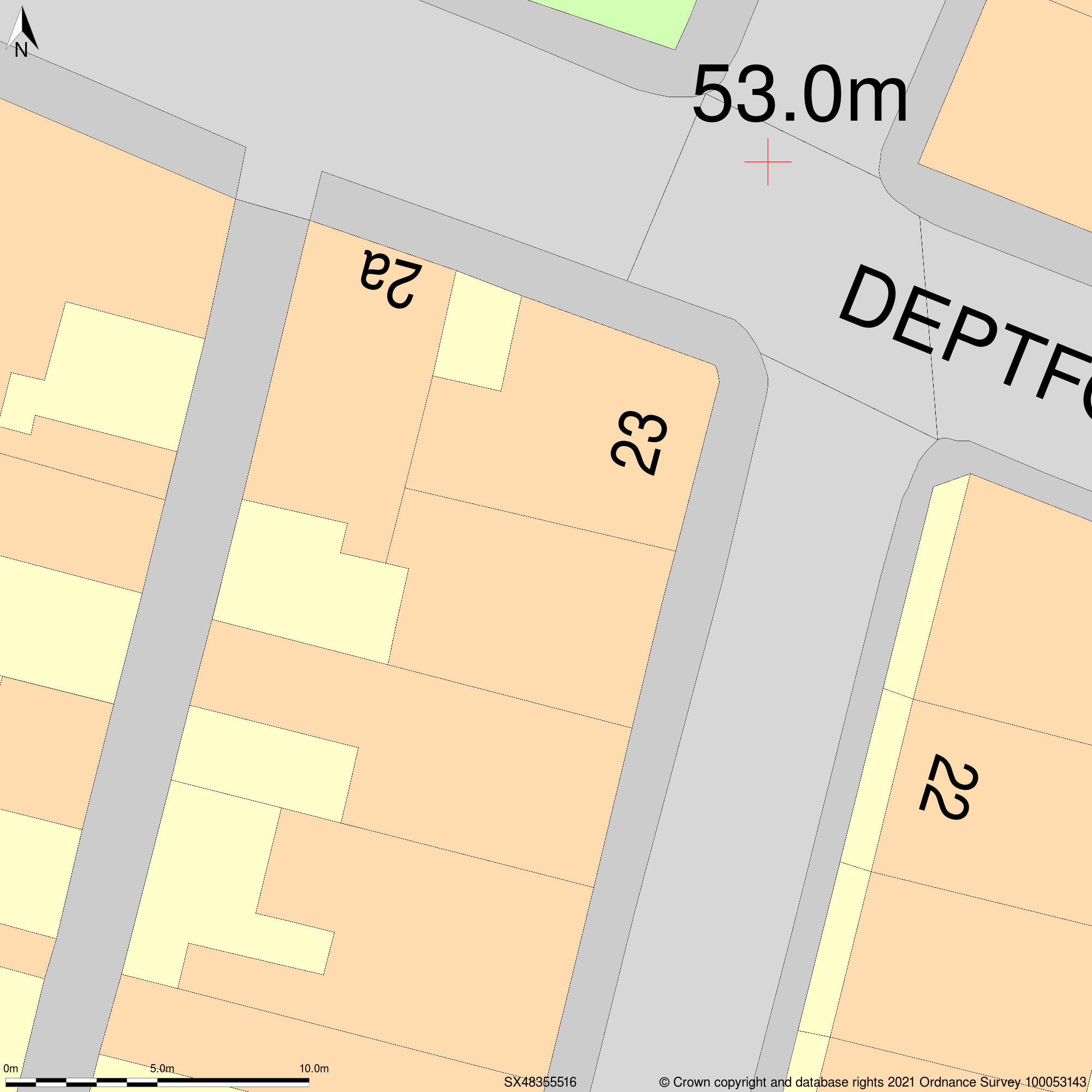
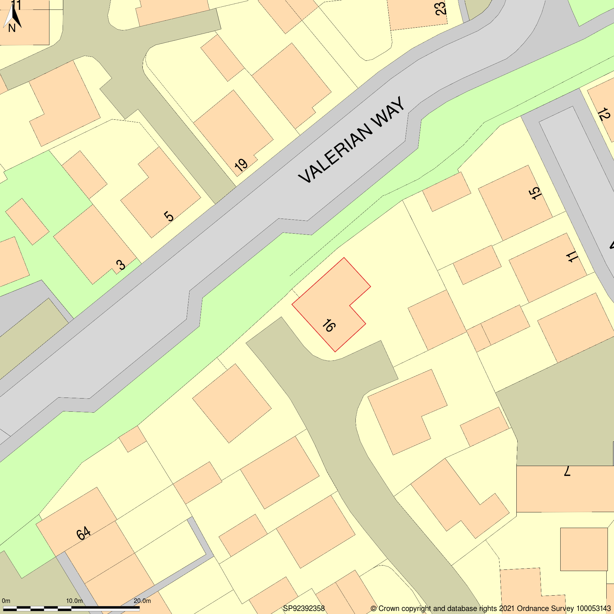
Sample of a plot plan at 1:200 scale Sample of a plot plan at 1:500 scale