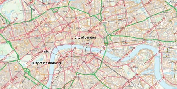
This is a highly detailed map of all of London in CAD format ideal for presentational and design use. With up to 67 layers of data, the map allows for granular styling and highlighting of selected layers. All the key layers are available, including road networks, building outlines, rivers, bridges and many more. This map gets updated regularly, every 6 weeks by the OS.
- Download a ready-to-use full 2D CAD file for the city of London in DWG format.
- Multiple layers are included to allow full use of your map. Up to 67 layers with the professional option.
- It is ready to use in all major CAD software such as Autocad, Rhino, TinkerCAD, Fusion 360 and SketchUp.
- You will be directed to a download link as soon as you place your order.
- We now offer a 3D version of our maps in CAD format. Click here to get a DWG map of London in 3D.
Click here if you want detailed, CAD maps of London
10 USES FOR A LONDON DWG MAP
- Can help locate the boundaries for all properties and buildings.
- Can be used to analyse and create a site analysis of any area in London.
- Can aid in finding potential development sites.
- Site appraisals for potential investors.
- Plan delivery routes for materials, waste and other possible transportation needs.
- Can be used as a base map to analyse traffic, sound, or light of an area in London or for the whole city.
- Can help create tourist guides and routes.
- It can be used to create hazard maps for the city and prevent damages.
- Help create health maps for each London area.
- Give context to any development proposal within the city of London, so very useful for architects, engineers and developers to have in hand.