We have now launched our new mapping service called Site Analyser a service designed for property professionals in particular looking to find off market plots but others that need local property information. The service gives you a low cost way to access the following information:
Try Site Analyser here and access detailed property information
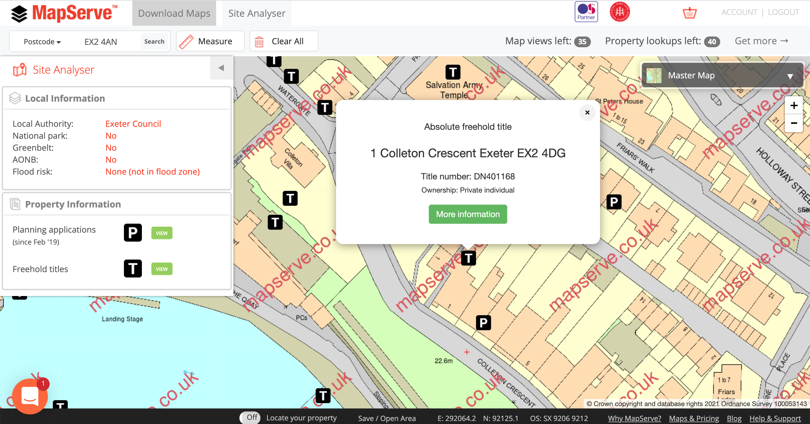
- Freehold title information
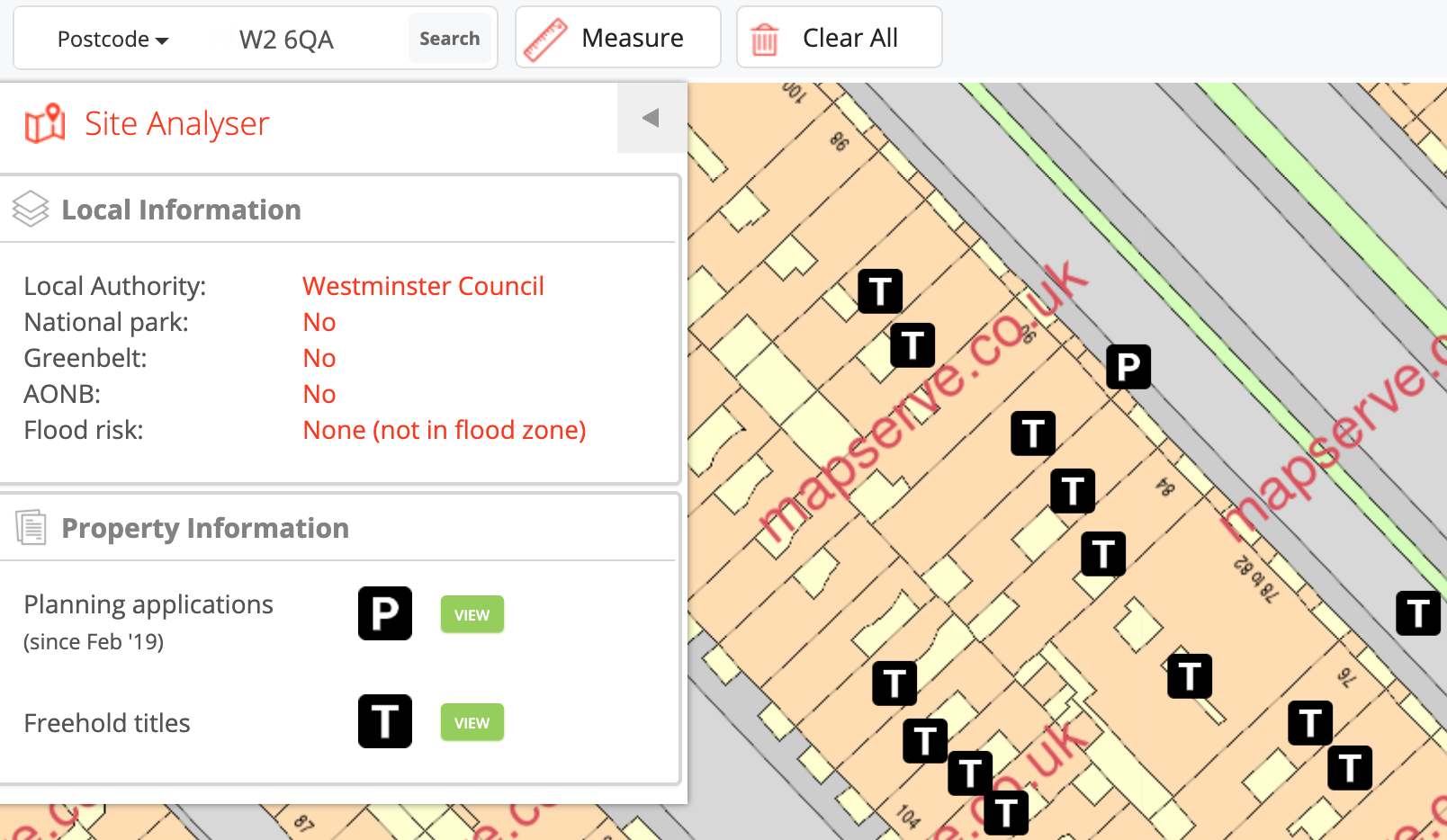
Developers, architects & surveyors can save time by accessing up to 100 property details and viewing up to 3200 hectares of Mastermap maps. It is now easier to:
- Find off-market plots fast
Reduce the time needed to get great results in less time such as: Using high-quality house level Mastermap mapping you can roam over a large area to identify potential property development sites with good road access. Once identified you can save them as a favourite to look at later or print out the details for future use.
- Measure plots quickly
Want to know the size of a particular plot or building? You can measure freehand on our Site Analyser using the ''Measure'' tool.
- Ownership information
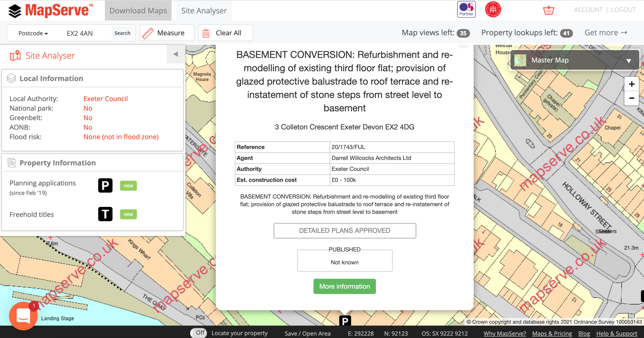
Interested in a particular property? Site Analyser will allow you to view freehold titles and ownership information on the Land registry site in seconds.
- Planning precedents, current and historic
Planning precedents, current and historic for the location you are interested in, can give you an insight into what development opportunities there could be.
Take a look at this help video on how to use our Site Analyser: