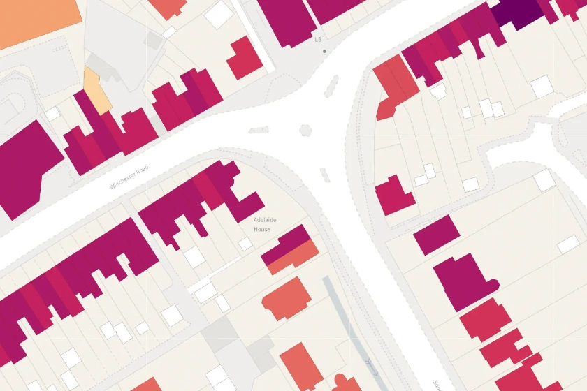
Access the potential of OS's NGD dataset, including building age data, to gain critical spatial insights for property assessment, architecture and more.
23 Apr 2024
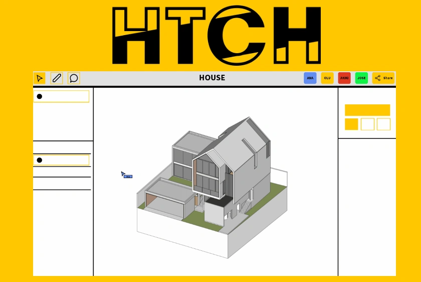
Discover how the new HTCH app is revolutionising construction collaboration by providing seamless design feedback and increasing consumer involvement.
17 Apr 2024
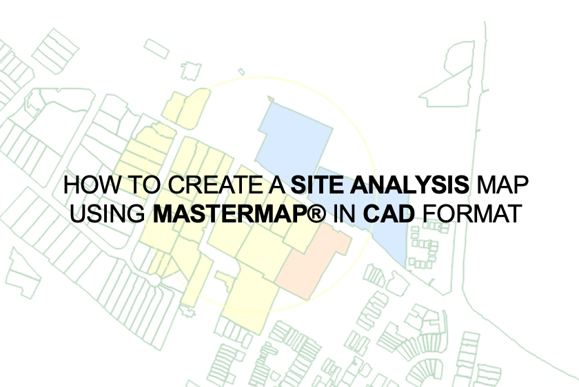
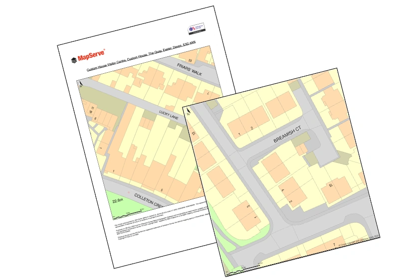
A step-by-step guide on how to produce a site analysis maps with MasterMap® in CAD format, suitable for Design & Access Statements, architectural graphics and more.
04 Apr 2024
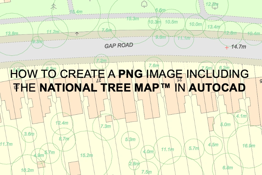
Learn how to use AutoCAD to create PNG images that include the National Tree Map™, ensuring detailed and accurate representations of vegetation in your maps.
03 Apr 2024
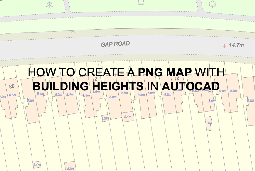
Step-by-step instructions for creating and exporting PNG maps in AutoCAD, incorporating our building heights layer for enhanced visualisation.
03 Apr 2024
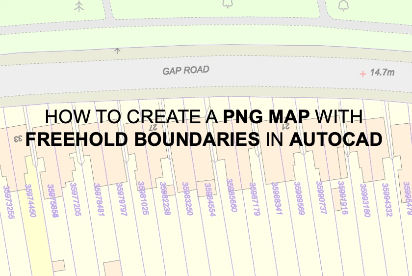
A step-by-step guide for using AutoCAD to build and export PNG maps with our freehold borders layer.
03 Apr 2024
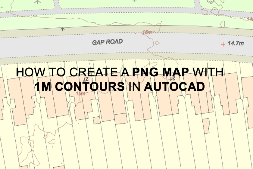
A tutorial for using AutoCAD to make PNG maps with detailed 1m contour lines to improve terrain understanding.
03 Apr 2024
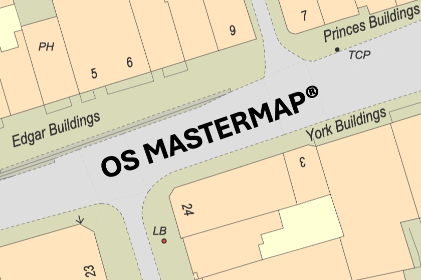
Dive into the intricate world of OS MasterMap®, the ultimate mapping solution for the United Kingdom. Learn how its precision and coverage transform spatial data analysis in a variety of sectors.
22 Mar 2024
Learn how to effortlessly export your mapping projects into PDF and PNG formats within just 2 minutes. Streamline your workflow and save time with this easy-to-follow tutorial.
22 Mar 2024