The latest update of OS MasterMap® is available here
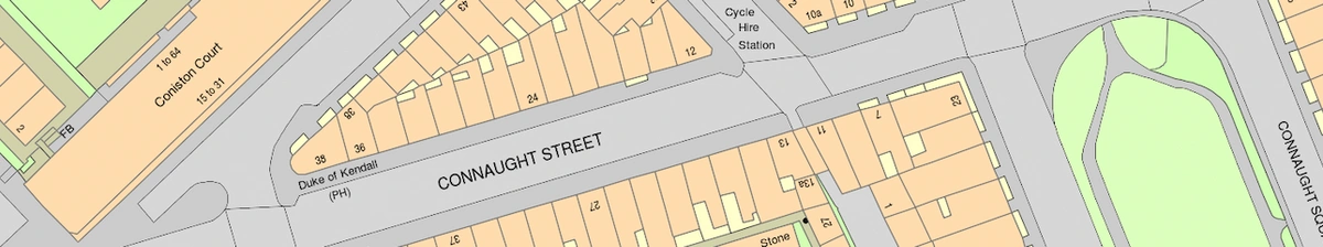
OS MasterMap®
OS MasterMap® is updated every 6 weeks by the Ordnance Survey. The latest update is live on MapServe® within a couple of days. The Ordnance Survey makes sure that OS MasterMap® data is never more than 6 months out of date. The entire 230,000 km2 of the country is updated on a continuous basis. This means that regions undergoing the most change, such as cities, will be modified first.
Since 1791, OS has recorded and preserved this database, which today comprises over 500,000 geographic features. The Ordnance Survey has a group of about 300 surveyors and two aircraft that produce 10,000 system updates per day.
You can check all future OS MasterMap® publication dates here.
OS MasterMap® 3D
OS MasterMap® 3D is updated at the same time as OS MasterMap®, which is every 6 weeks (see above). However, the height information is updated quarterly and specifically every January, April, July and October. The terrain height data on OS MasterMap® 3D is updated every 6 months.

OS Road Map
OS Road Map is updated every 6 months by the Ordnance Survey.

OS Overview Map (OS Vector Map Local)
OS Overview Map (otherwise known as OS VectorMap® Local) is updated quarterly. More specifically in:
- January
- April
- July
- October
It is automatically created using the OS Large Scale Topographic database, enhancing currency and consistency to provide accurate and dependable real-world geographic information.